A very quick note on some hiking & app tips

  |  0 Comments

I have really made use (too much use?) of our Garmin 62. Apparently discontinued now, but I’m sure things like it are still around. On our friend Hamish’s excellent advice, we subscribed to the satellite imagery. It’s only $30 USD for a year, and you can get it worldwide. Very handy when trying to navigate.

I also found this site which has all the open street map data available for download in Garmin format. Very handy as then you can just upload it all into the GPS and you have all the contours, tracks etc. Very useful – at least so far in Argentina, remains to be seen what the other countries are like.

Still on hiking, our friends recommended getting an MSR whisperlite international. The international version, as then you can burn unleaded as well as kerosene (rather than just white gas). I slightly wish I’d got the dragonfly as it allows for better simmering. I haven’t been able to find white gas here (did find a nice datasheet with different countries translations of fuel types in it). I’m not sure if it makes a difference, shortens life / will lead to blockages to use unleaded. Need to do research! That said, filling up the bottle with unleaded costs $2 . $2 for about 10 nights cooking (if you’re careful and just firing it up to boil water). Very impressive.

26-P1150112

Also, on friends Neil & Frances’ suggestion, bought Primus Eta pots from telemark pyrenees online. I got the 1L and the 1.7L pots (doesn’t look like they have the 1.7L in stock at the moment). These are great. They stack together, they have a heat exchange system so use significantly less fuel, boil in minutes on the MSR, are non-stick and have a built in strainer (should you need it). Very happy we bought them.


Apps

Osmand – open street maps for android
Bought the OSMAnd app. It’s a nice interface for open street maps, and I can download all the countries for offline storage (and navigation, does not require internet)

AirBnB
Simple decent app for AirBnB

Google Translate
This thing is amazing. You can download the languages for offline use again (godsend!). It has this wonderful feature where you simply hold up the app with the camera on to some text, and it translates it on the fly. I must take a video, it’s really really beautiful and impressive tech.

XE.com – currency exchange
Again, very handy app this one, for knowing what you’re actually paying

hostelworld (tentative)
Have downloaded this one on a friends recommendation, will see how it goes.

Well, I think that’s about it for the moment, it’s amazing how far things have progressed so quickly. Does feel a bit cheaty at times, but still, very handy.

Laguna del Caminante y Paso de la Oveja

  |  3 Comments

Final hike out of Ushuaia, this was to Laguna del Caminante and up over Paso de la Oveja. Nice walk this one, not has hard as the first one, much more interesting than the National Park. A goldilocks kind of walk.

Map above courtesy of wikiloc.

We did the walk from East to West, seemed like the best way to do it. Nice enough walk up the valley, track easy to follow and mostly clear of barriers (the odd beaver lake..). Nice hanging glaciers to look at on the way up.


03-P113001107-DSC_003301-DSC_000702-P113000505-P113001704-P113001501-P1130004

We walked all the way in to the lake, found about 5? other tents there (it is popular ish). There had been snow on the ground, and the best spots were taken, so it was a cold enough night. Yes, our tent has a decent groundsheet, but still, we got wet through it a bit, or there was condensation, whatever, it was a little damp that night.

03-DSC_002006-P1130018


The next day it was still snowing on and off a bit, so, we opted for a lazy day!!! WOOOOOOOHOOOOO, Maaike doesn’t seem to believe in relaxing half as much as I do. It was a glorious day, full of eating biscuits, reading books, eating more biscuits, playing cards… and… moving the tent to the best place on the lake!


02-DSC_001704-DSC_002606-DSC_003205-DSC_0028


The following day, Friday 15th, it was (as forcast) a beautiful day, and we went for a walk on the far side of the lake and up an along the ridgeish / contouring . Very nice walk, stunning lunch spot. Beavers swimming in the lake below (little *******s!)…


08-DSC_003609-DSC_003812-DSC_004413-DSC_004713-P115005214-P115005315-DSC_005914-DSC_005616-DSC_0068


Maaike took a lot of pictures of flowers (quite happy with our TG-3 camera – thanks Steve & Michelle for the suggestion). The TG-3 is waterproof, shockproof and has a very nice macro lens on it. It’s perfect for us hiking as we can just put it in a pocket and forget about it. Very happy so far.

10-P115003809-P115003508-P115002812-P115004711-P115004016-P115006515-P115006220-P115008519-P115007818-P115007317-P115006723-P115009622-P115009421-P115009125-P115010731-P116013924-P115010030-P116013533-P116014529-P1160132

Then the next day we walked out. It was an easy enough walk, do keep to the true left of the valley at the saddle, the cairns seem to lead you astray (just look at the map!)

28-P116012327-P1160114

Easy at least, until about 3km from the end where there was a good bit of tree fall.

32-P1160143

Anyway, a great hike, would definitely recommend it, even just up to the lake is nice, though I did enjoy our traverse a lot :)

This may very well be the last post with lots of pictures.. I’ve been writing these (and Antarctica) up at our AirBnB in Ushuaia which has really great internet. I suspect the upcoming posts will have a lot less pictures!

Tierra Del Fuego National Park

  |  4 Comments

Of all the places we visited out of Ushuaia (and it was only 4 hikes we’ve done to be fair), the national park was my least favourite. A good thing if you’re reading this and contemplating coming, as it was the only place that we had to pay for.. It’s on the border with Chile, and, well, there are more than a few flags flying around the place.

01-P1080073

We did some walks at a few different places. I admit, I was again disappointed in the track state. I get that NZ is wonderful, and I know Maaike will hate me for bashing Argentina at all, however, they take $15 USD per person entry into the park, and have only a few marked trails. Incidentally, the fee is cash only… most convenient, would be interesting to trace it!. So yes, I would expect the tracks to be at least fairly clear of fallen trees, and I’d expect that the areas that are getting destroyed (turned to mud) through wet ground and people making ever wider circles to get around; would have boardwalk. They did have boardwalk in places, but it never seemed to be anywhere that needed it. While I am saying this, our AirBnB hosts have said exactly the same, so I don’t think I’m being unfair.

02-P108007414-P1100116Looking up towards Guanaco04-P108008005-P1080081

The hill above, Guanaco, was one we climbed in the following days.

The next day, we walked along the coast to the next campground. There was a paid one with toilets and showers, and two free ones which we thought looked way way nicer, so, opted for the free one. Maaike did a walk to the border, while I chilled out by a lake, ate biscuits and did a little bit of Spanish practice.

06-P109008207-P109008510-P109009312-P110010309-P1090092

Then the next day we did a walk up Guanaco, which was definitely the highlight and did have very nice views out over the Beagle channel.

13-P110011111-P109010108-P1090090

Then back to Ushuaia.

Sierra Valdivieso circuit

  |  4 Comments

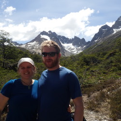
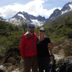
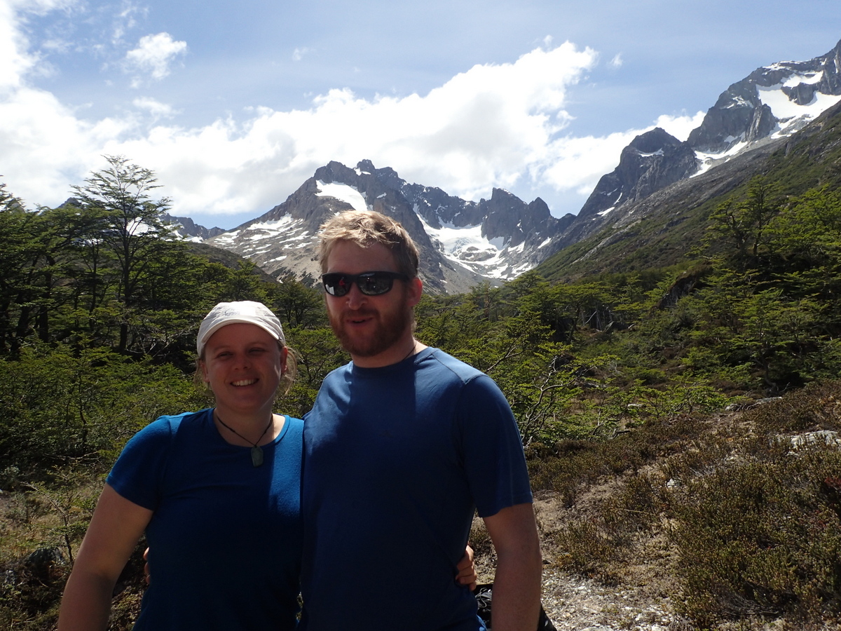
We had meant to do this hike last thing before leaving ushuaia, as we thought it would be the hardest, however, two friends from the Cruise – Isidor and Michele, wanted to do it, so we decided to go along with them.

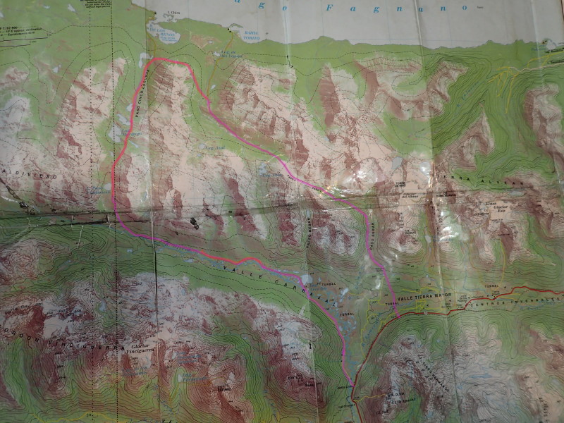
There’s a nice visualization of the route on the garmin adventure site by a Paul Schwanitz (good work Paul!). The track may once have been popular, but it doesn’t look like it gets that much use now.

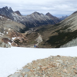
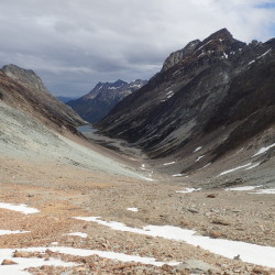
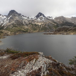
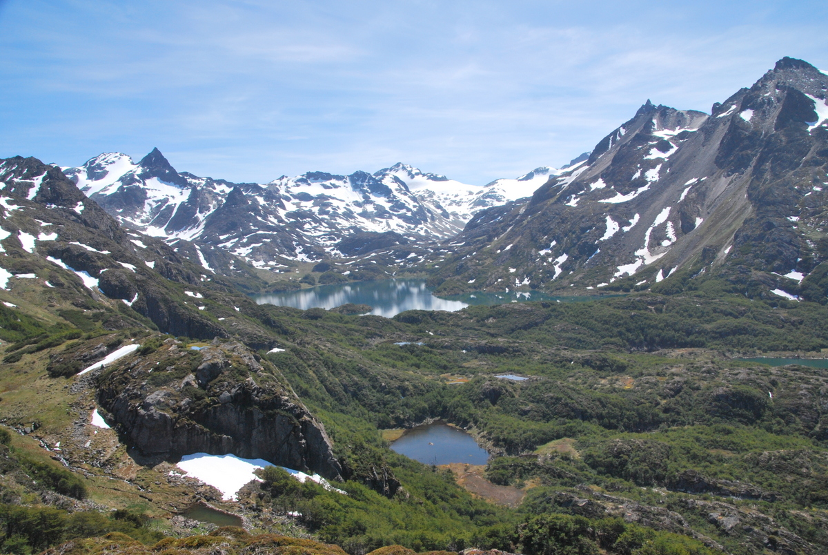
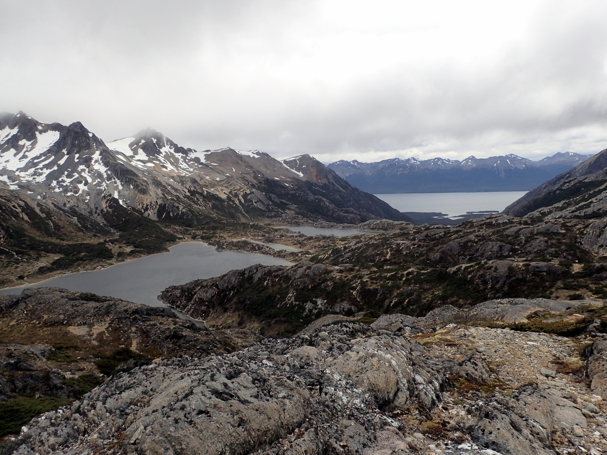
It was hard work. Sure we’d just come off a cruise and were fat and unfit, but still, it was a hard trip. In the map below, I’ve very very roughly outlined the route (there is a track in places, the pinkish bits); where it is marked in red, the track basically doesn’t exit and you’re following little animal tracks, maybe a bit of old track, then it’ll peter out..

map_valdivisio

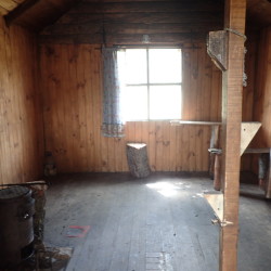
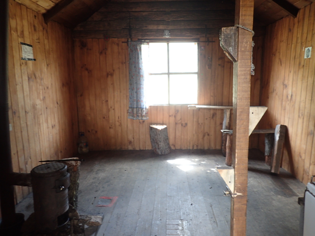
Anyway, first off walk up towards the passes, passing an hut along the way. I think it’s free to use?

03-P103001502-P103001201-P103000905-P103002004-P1030019

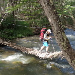
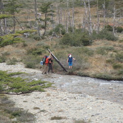
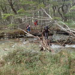
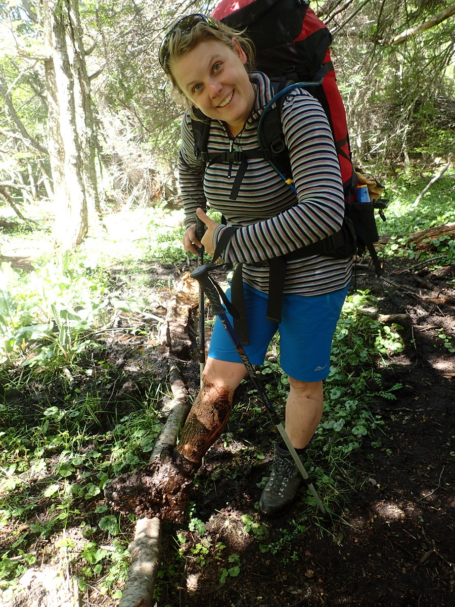
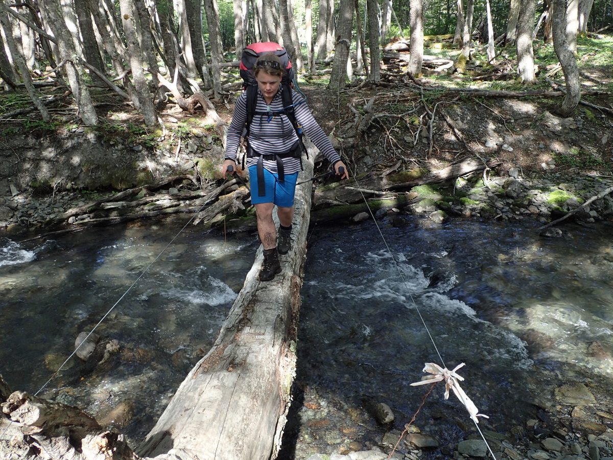
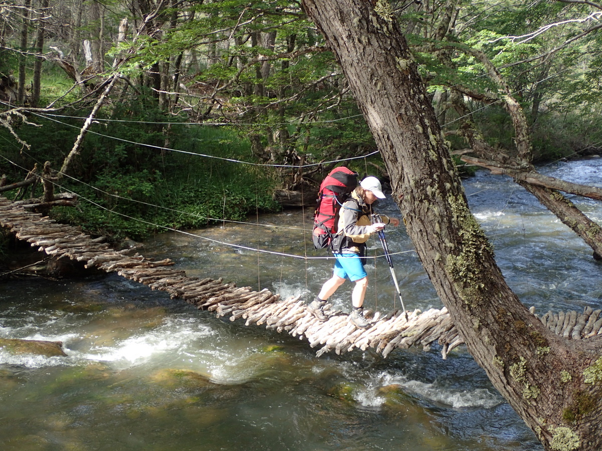
I was shocked and stunned at the lengths some people, Maaike included went to keep their feet dry. In NZ, I generally just walk through the streams accepting wet feet. Maybe that’s because there’s less wood around to make a bridge out of, but, generally speaking, it’s a lot safer to just wade through the water rather than make some slippy bridge to go over.

06-P103002607-P1030027

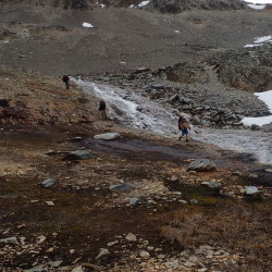
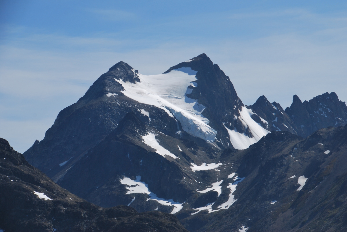
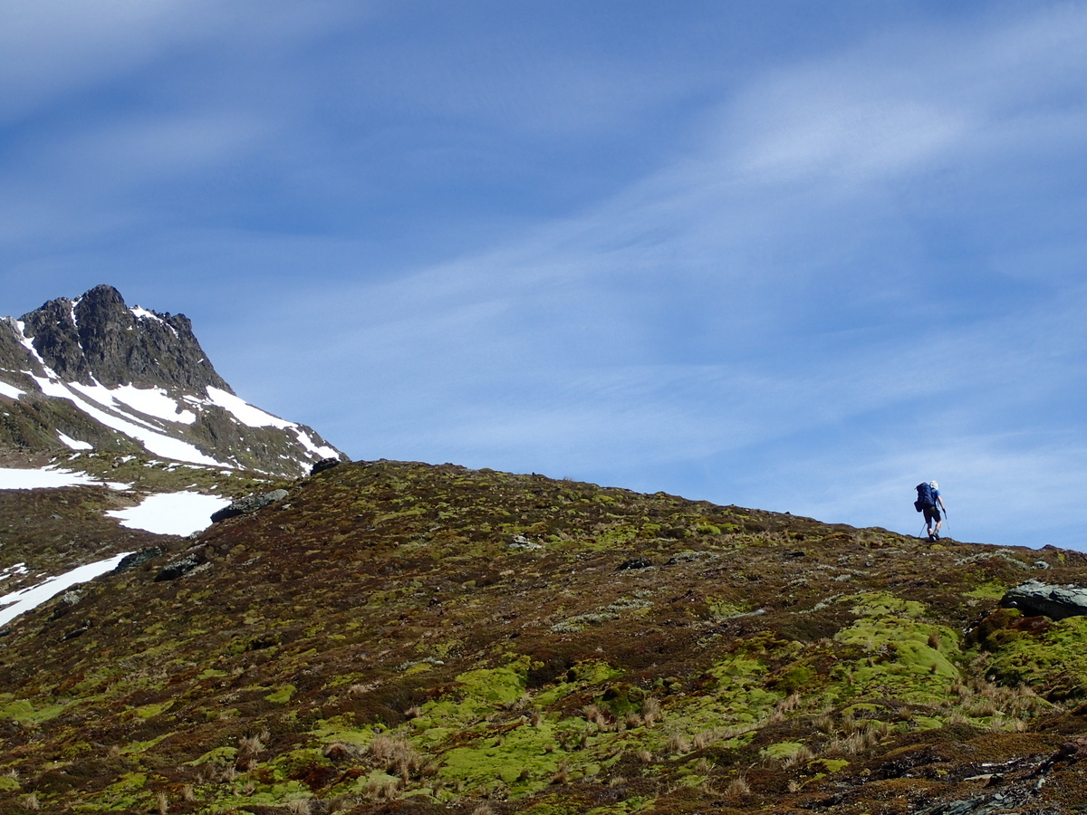
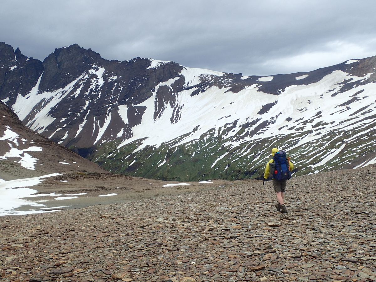
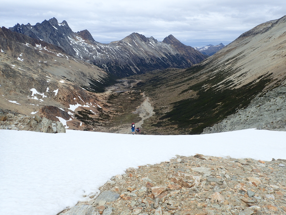
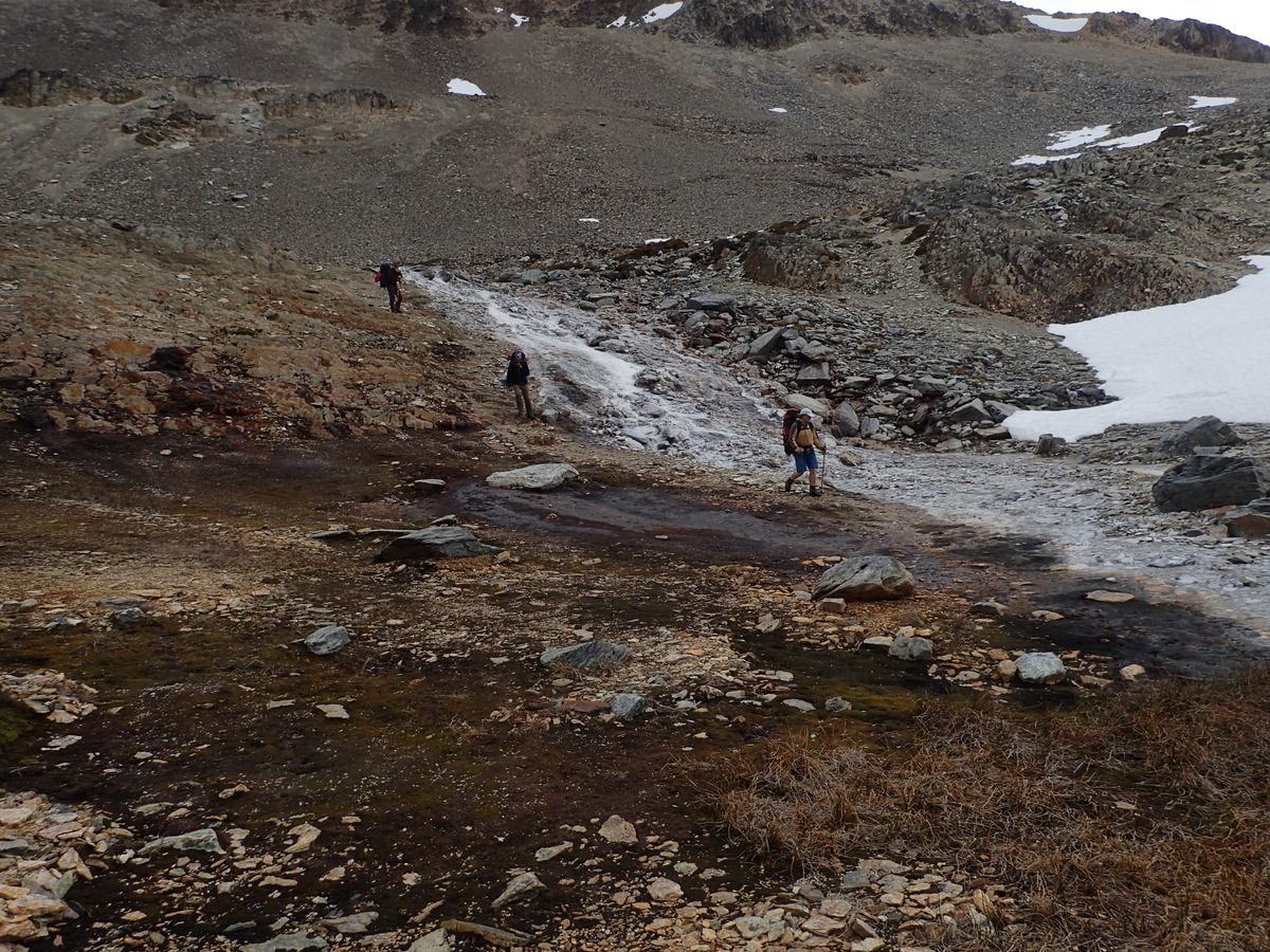
Turning up the right ridge to the pass and following a few cairns, then up over the passes themselves. We had a bit of a snow slope to go up, but it wasn’t icy when we went across it, so just kicked steps in and off you go.

09-P1030035

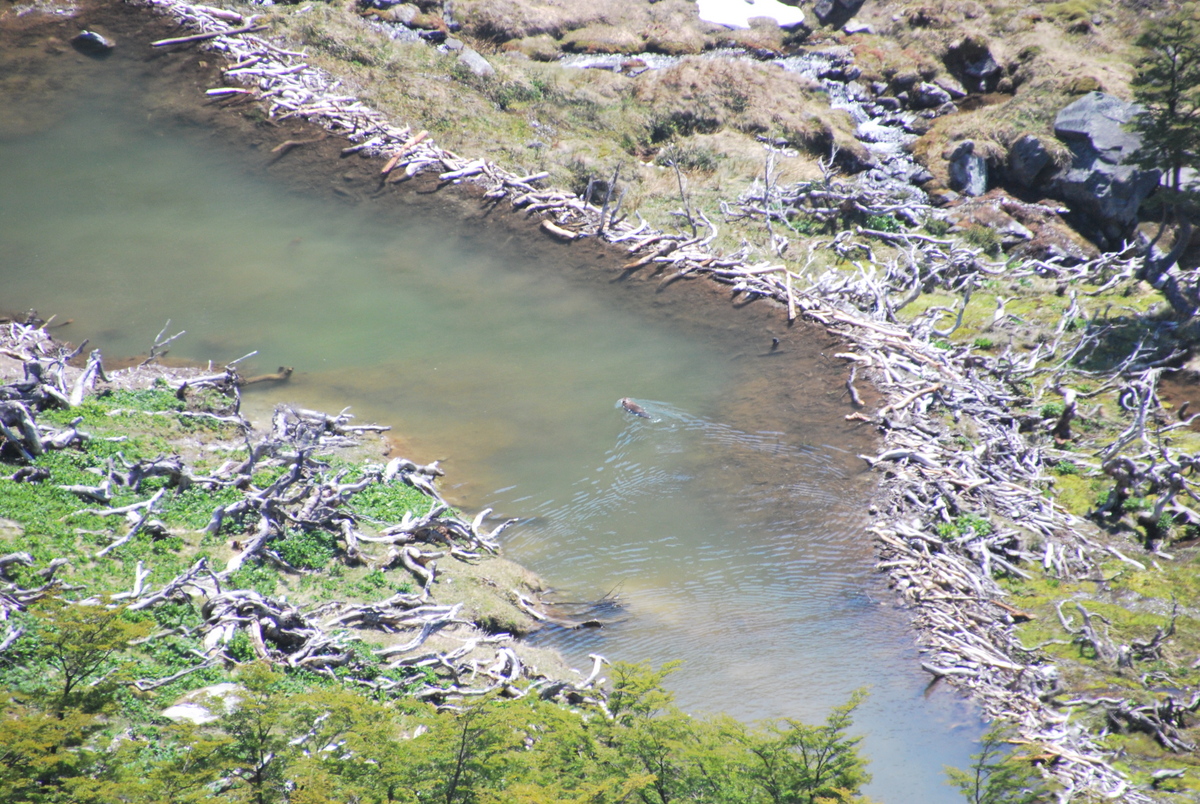
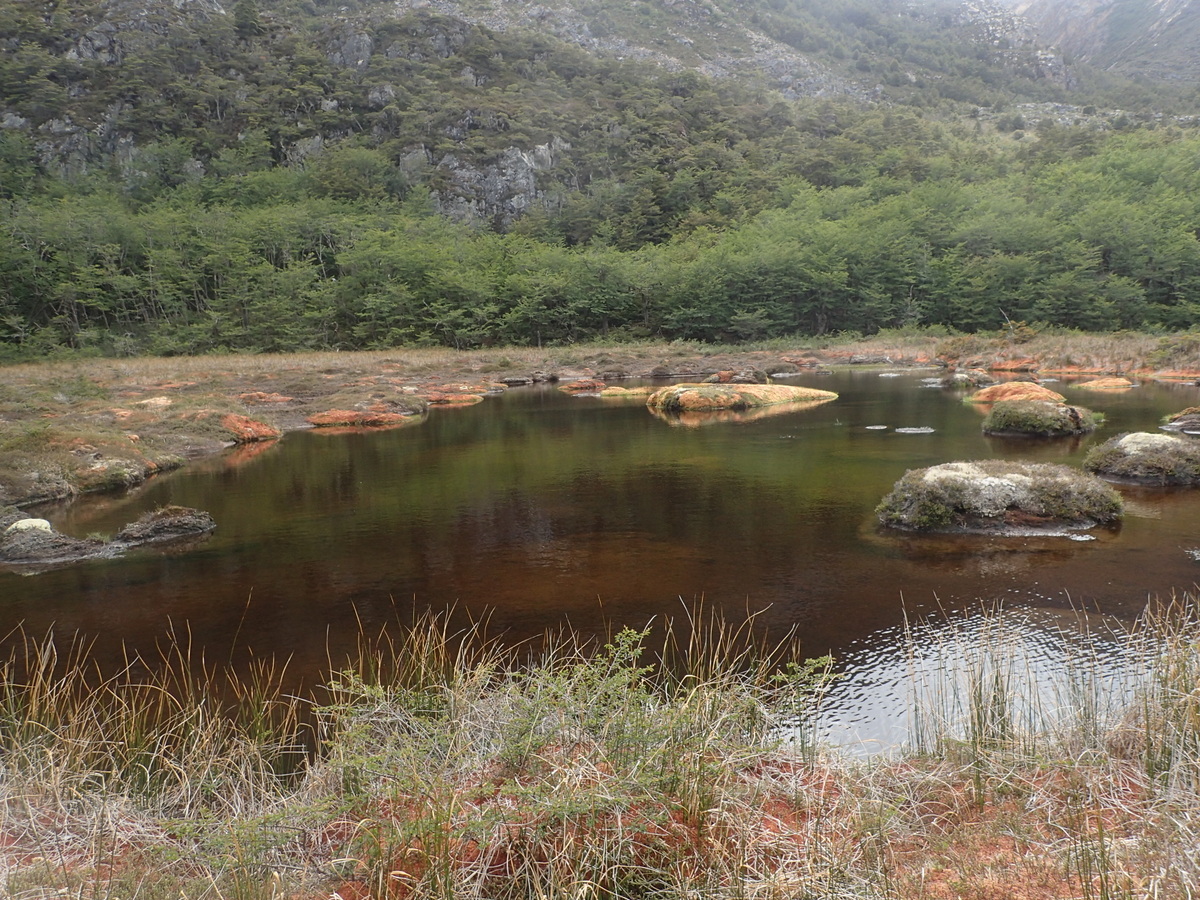
And then a descent down the other side, through beaver country (more on those feckers later), and then our first campspot (S54.64517° W68.25648° WGS84)

12-P104004413-P104004611-P103004210-P1030040

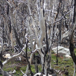
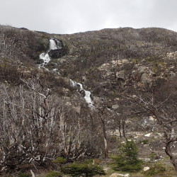
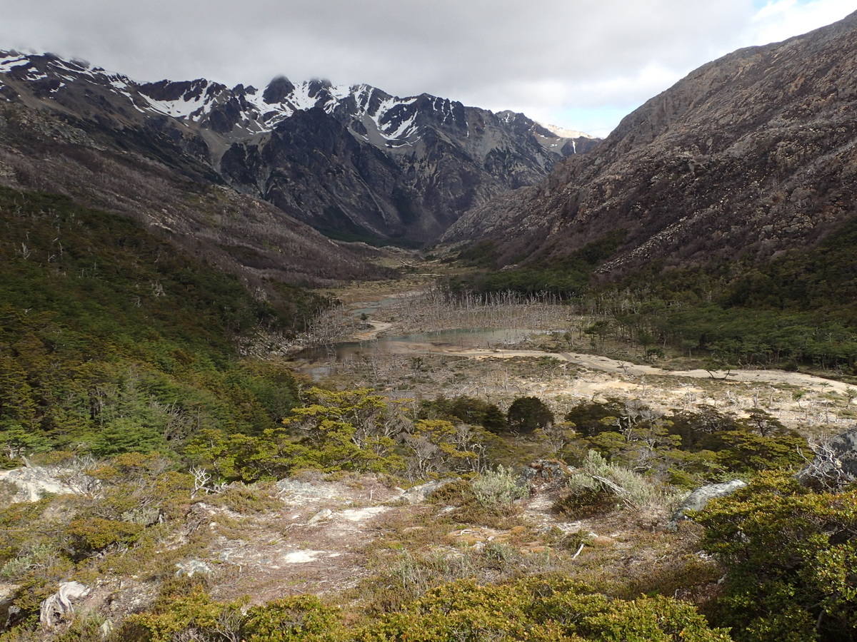
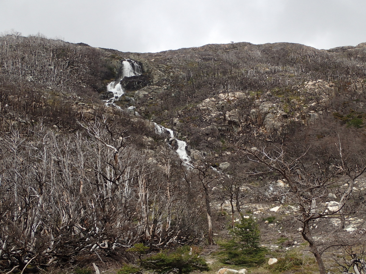
Next day was a beast of a day, through a forest which had been burned, accidentally, by fire wardens. Story seems a little too good to be true, but anyway, huge chunk of forest was burned, and the way we were going (around one valley and into the next) wasn’t an official track anyway. It was hard going, loose rocks, trees all over the place.. hard.

16-P1040054 15-P1040050 14-P1040047

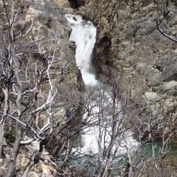
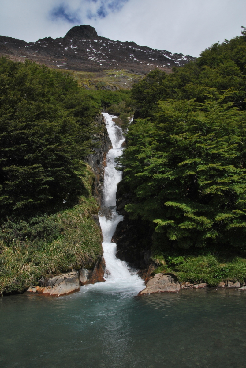
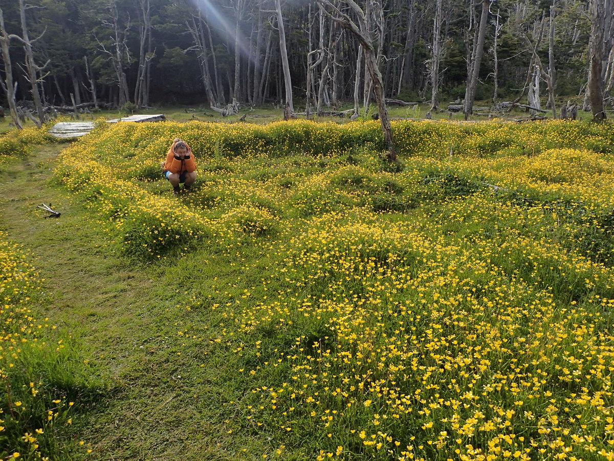
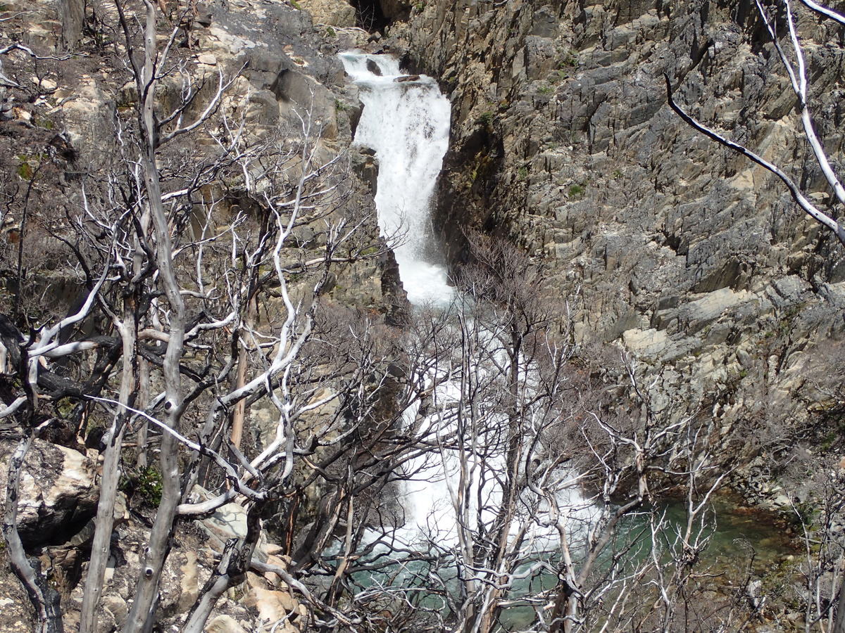
I didn’t take any pictures of the “fight” (hard undergrowth) but it was pretty dense in places. We happened across a very nice little campsite, basically by luck, S54.62020° W68.33524° (WGS84). Neatly between a couple of small waterfalls, really lovely spot to camp, wish I’d taken a picture :) It was a good choice to stop there, it was about 17:00, and we’d hoped to get further, but there probably wasn’t a decent campsite for easily another few hours (and that was the first decent spot for hours too). Phew! I mean we’d have made do for sure, but the ground was level and dry..

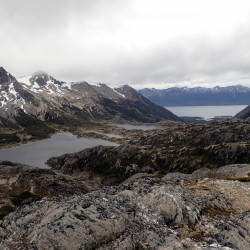
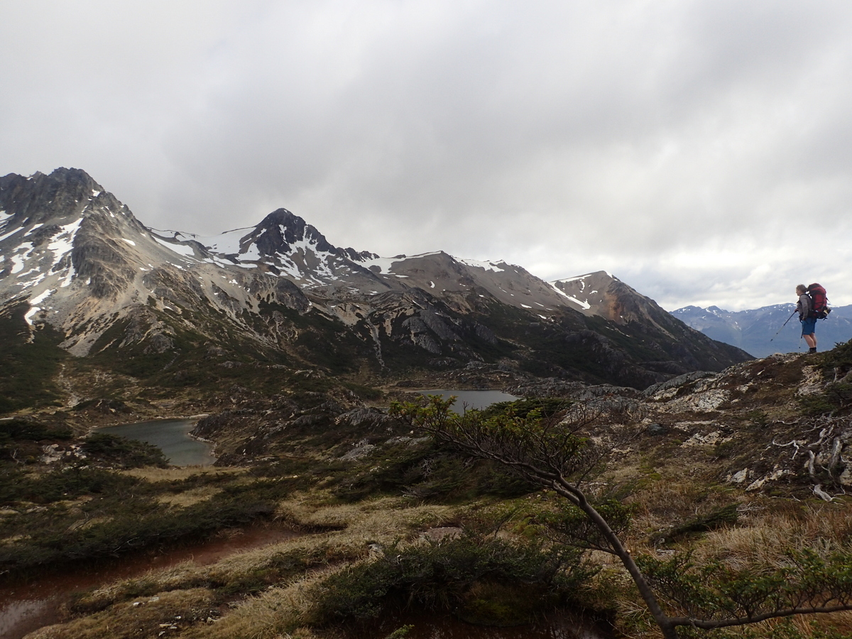
Next day, first few hours was more fight, stepping up through what looked to be high enough cliffs around lakes, but, once you got close enough there was generally a way you could haul yourself up. It was a good thing that Isidor and Michele were happy with a climbing, exposure, heights etc. In retrospect, it was fantasic that they’d come along, but lucky that we were all of a good enough skill level to get through it without tears & still being friends!

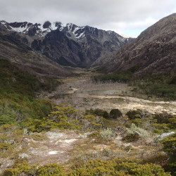
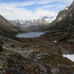
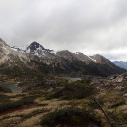
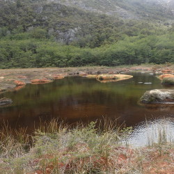
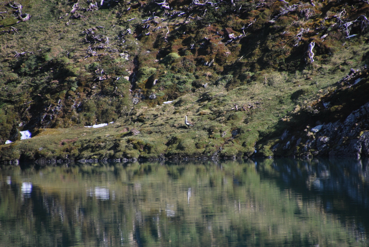
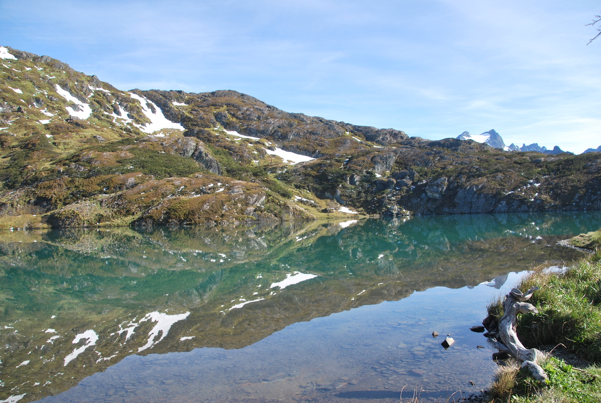
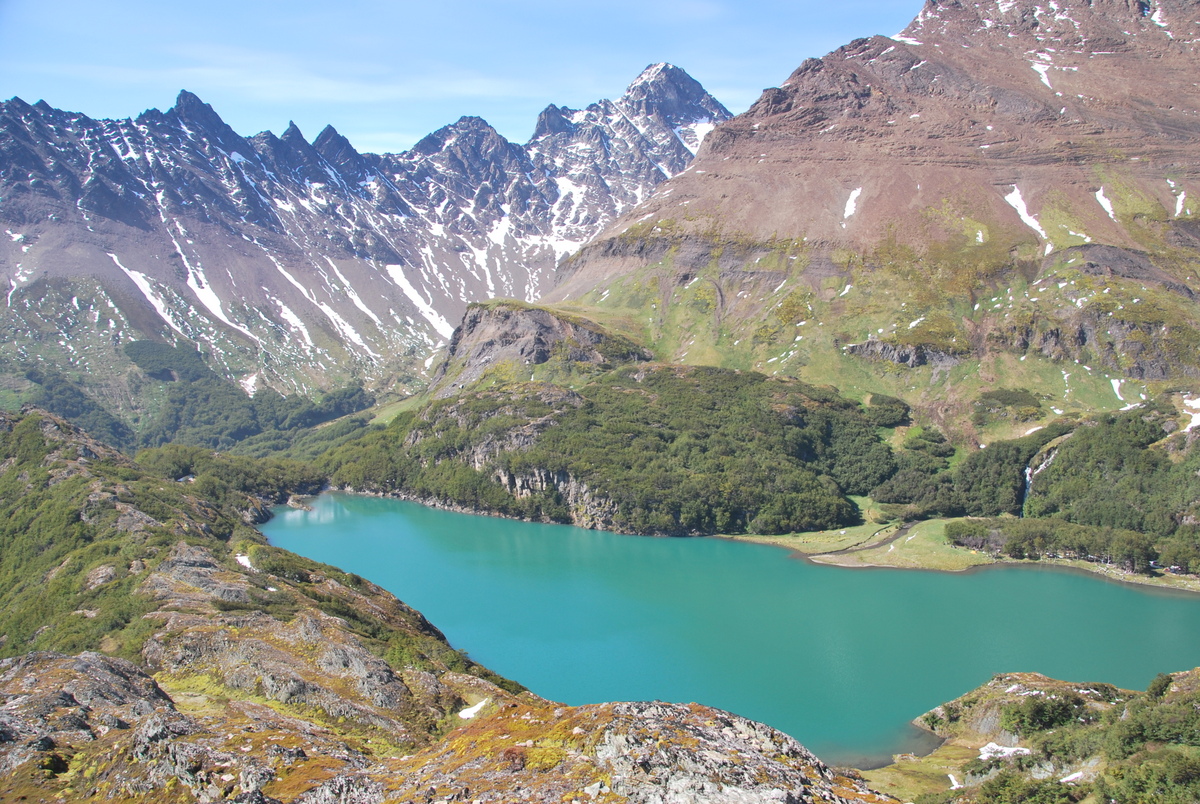
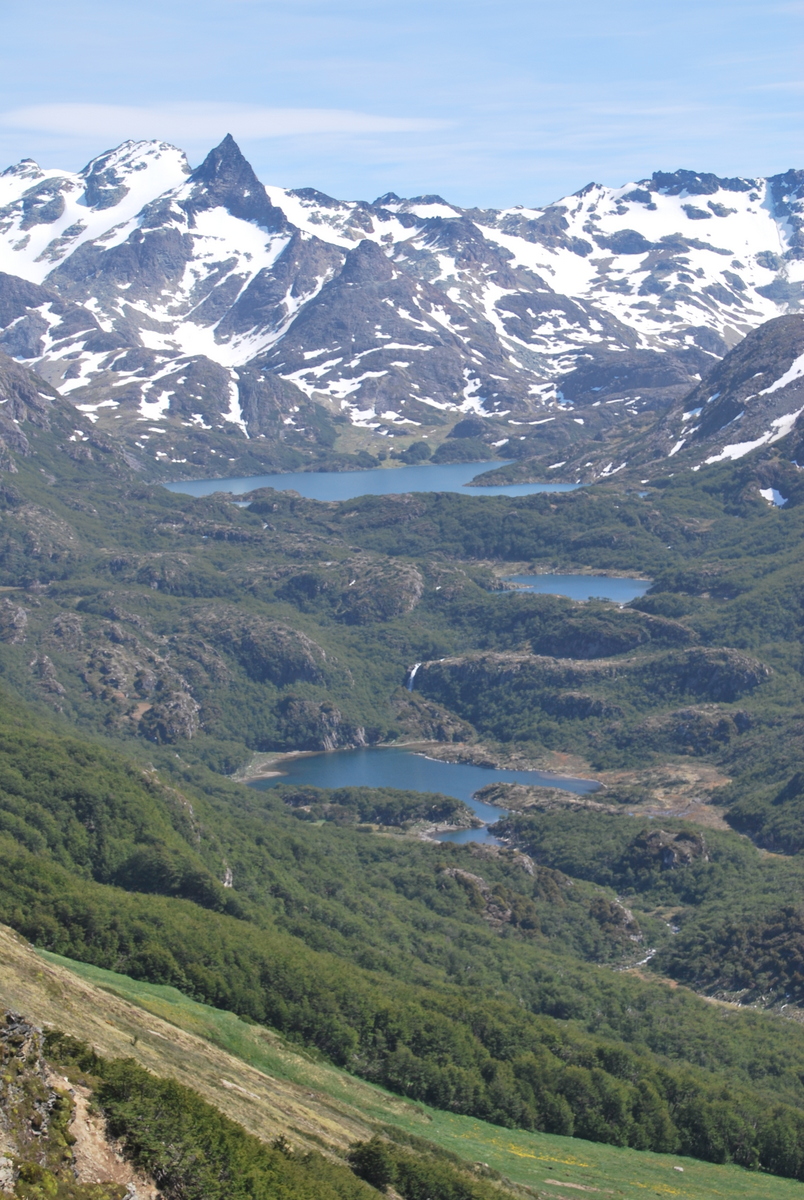
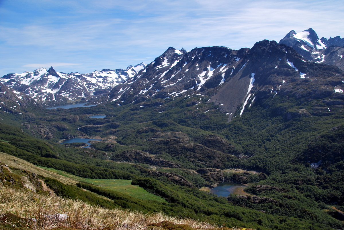
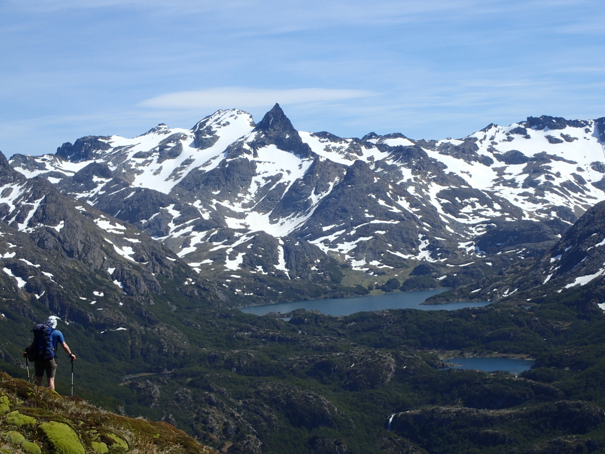
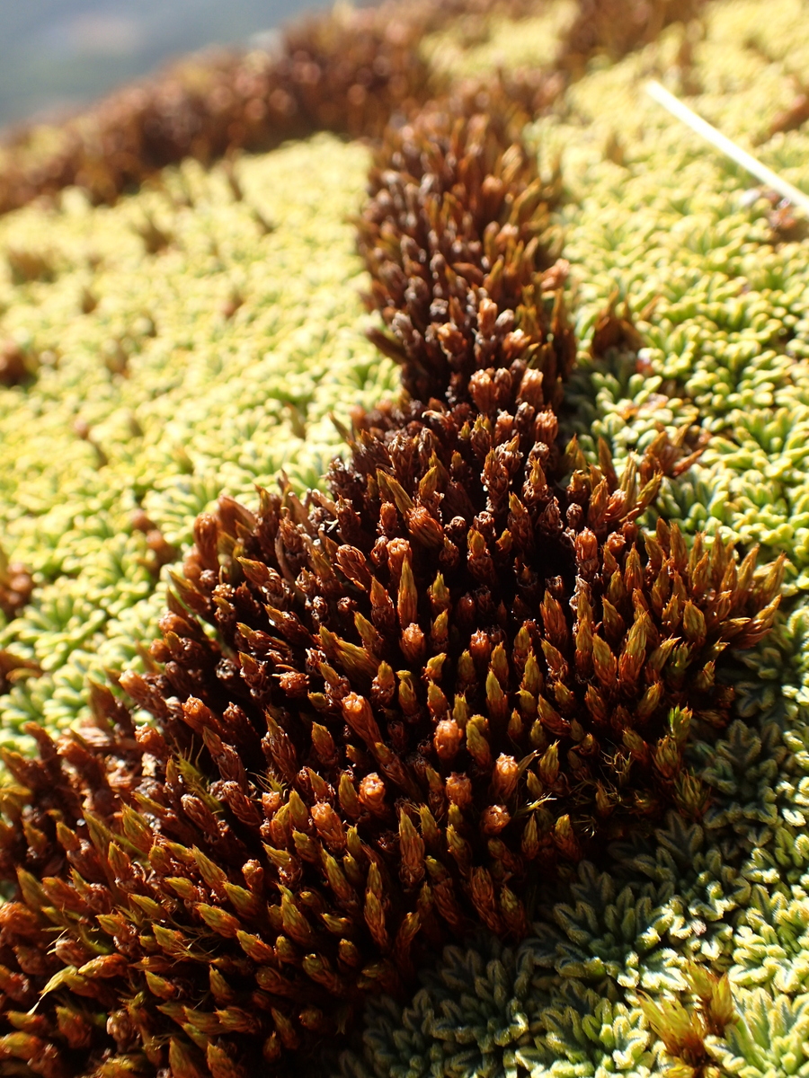
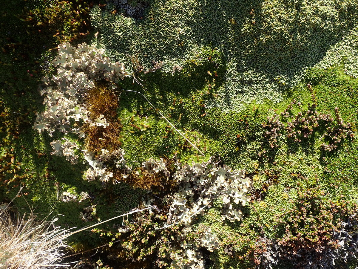
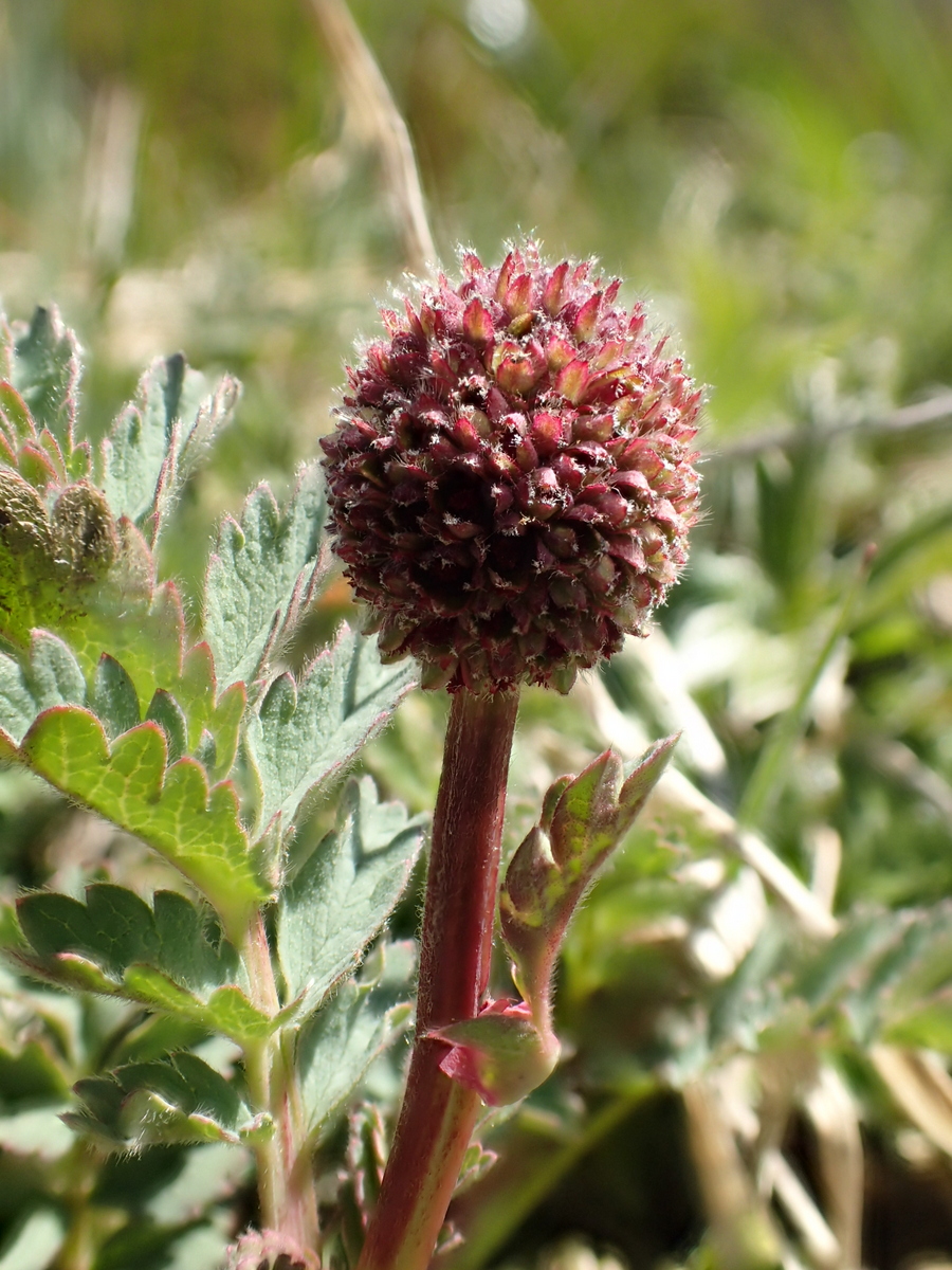
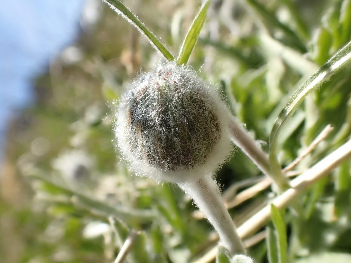
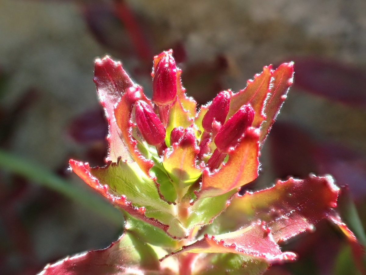
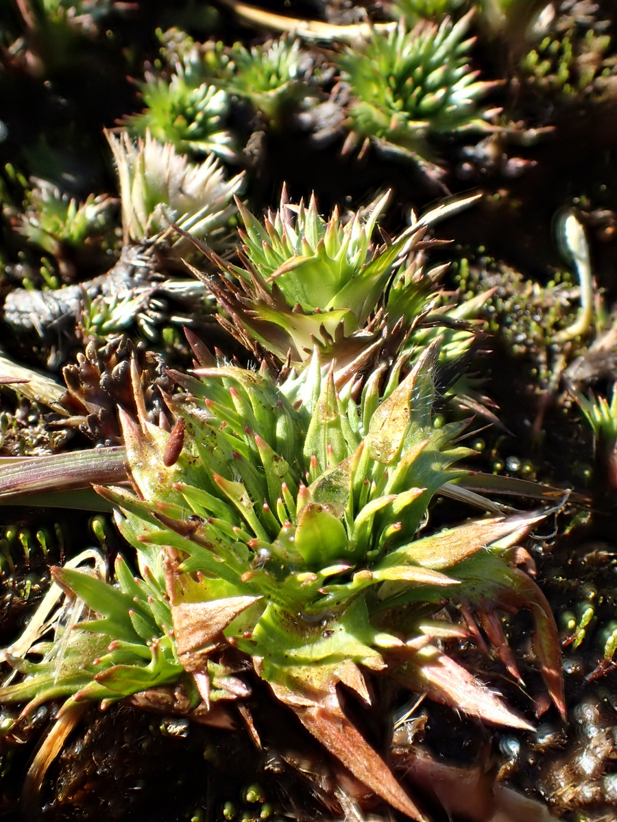
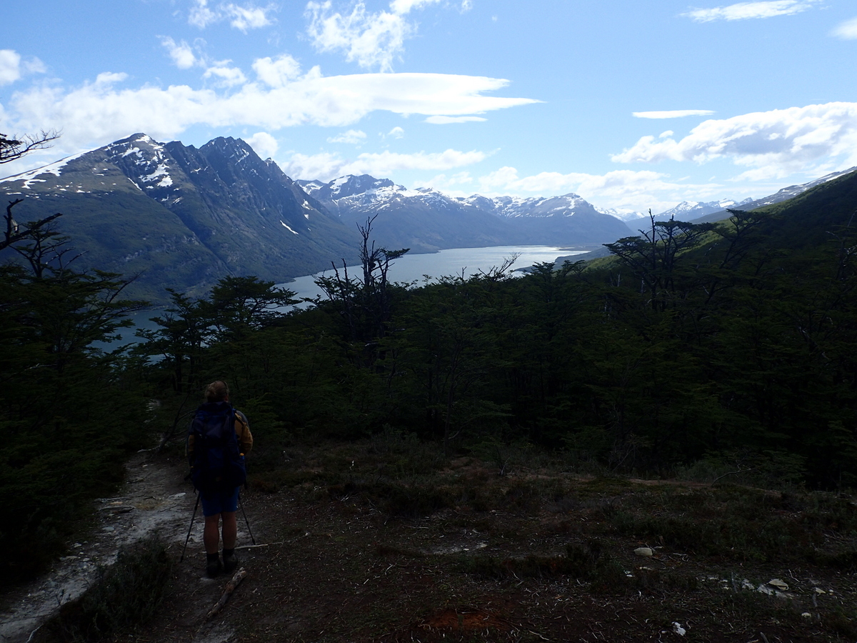
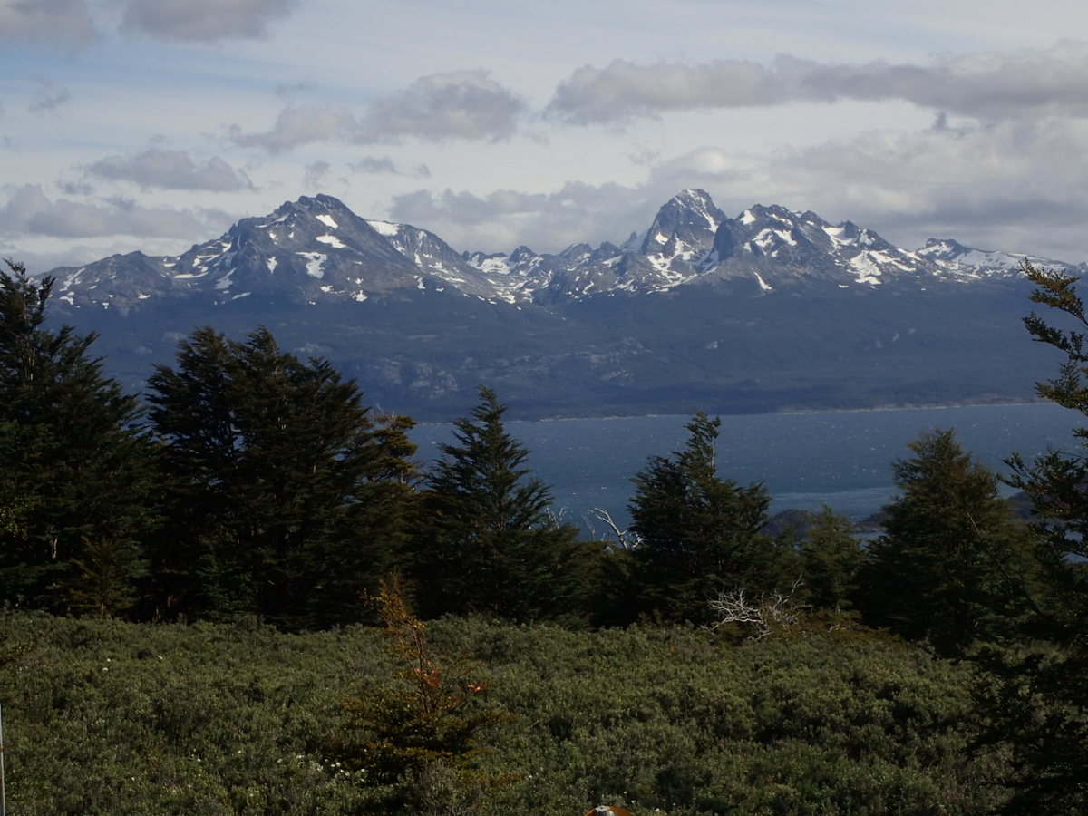
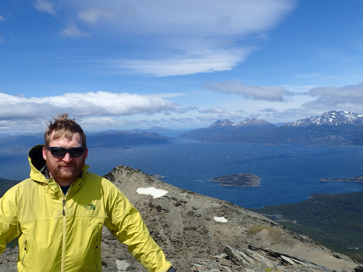
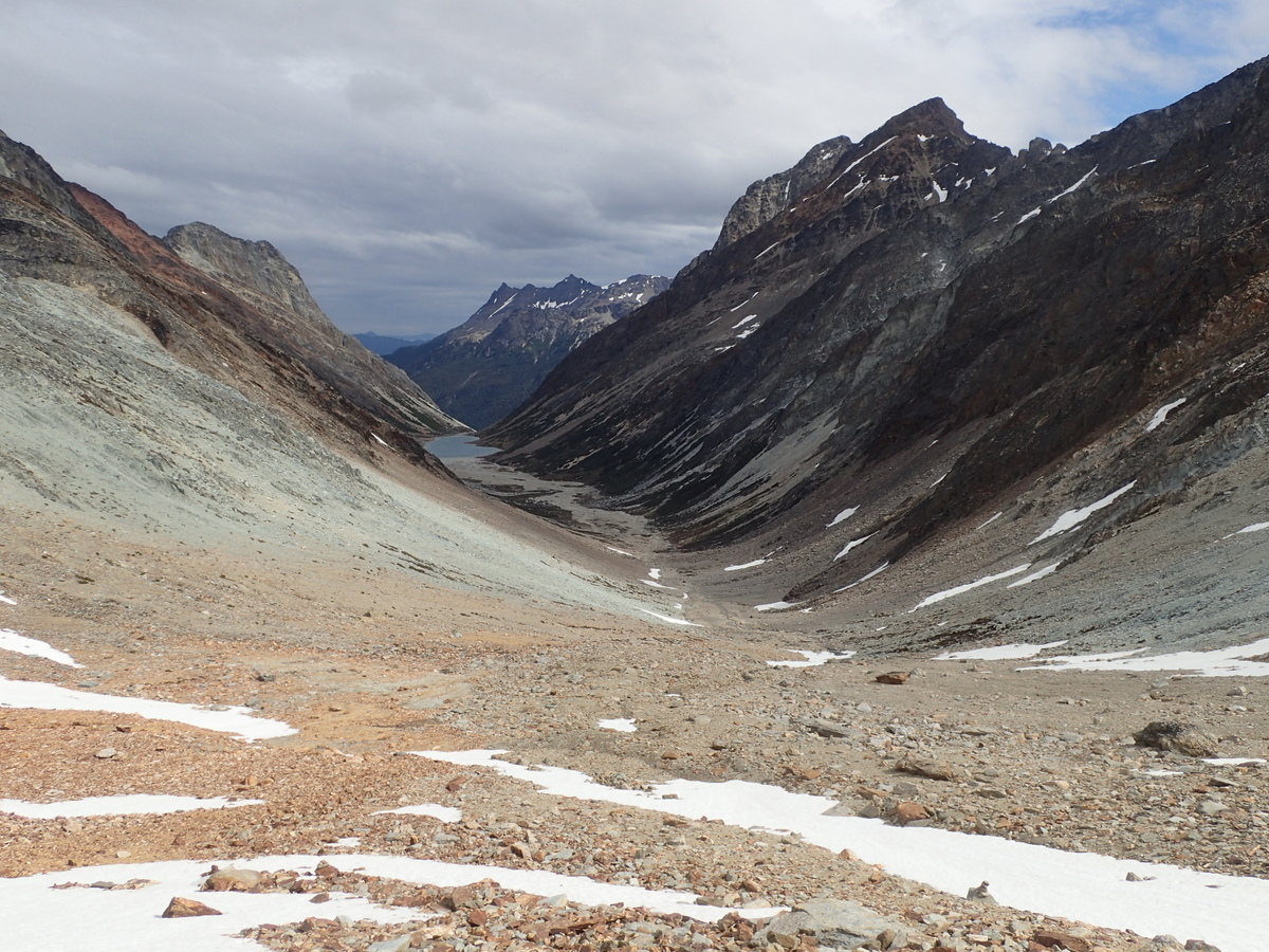
The second half of the day was lovely though, open tops, clear views over the lakes, very nice walking.
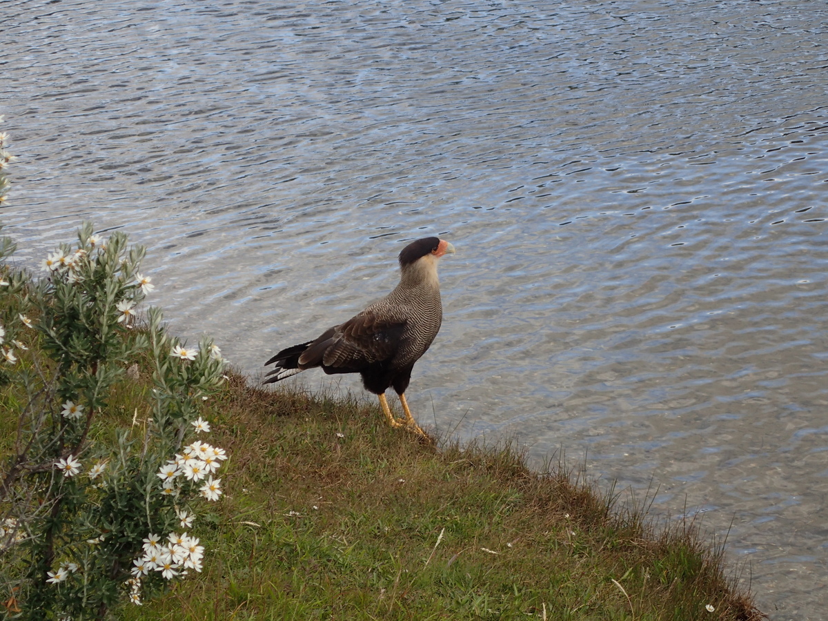
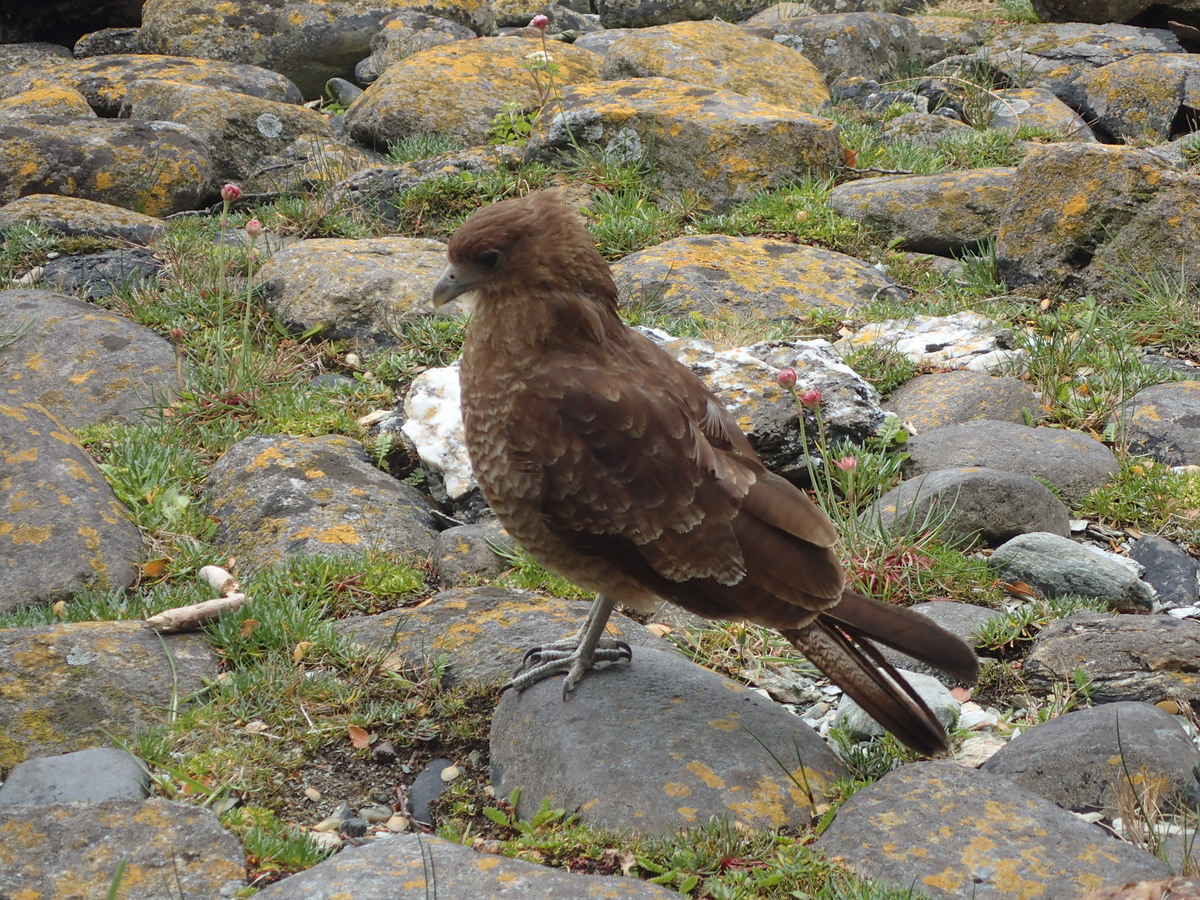
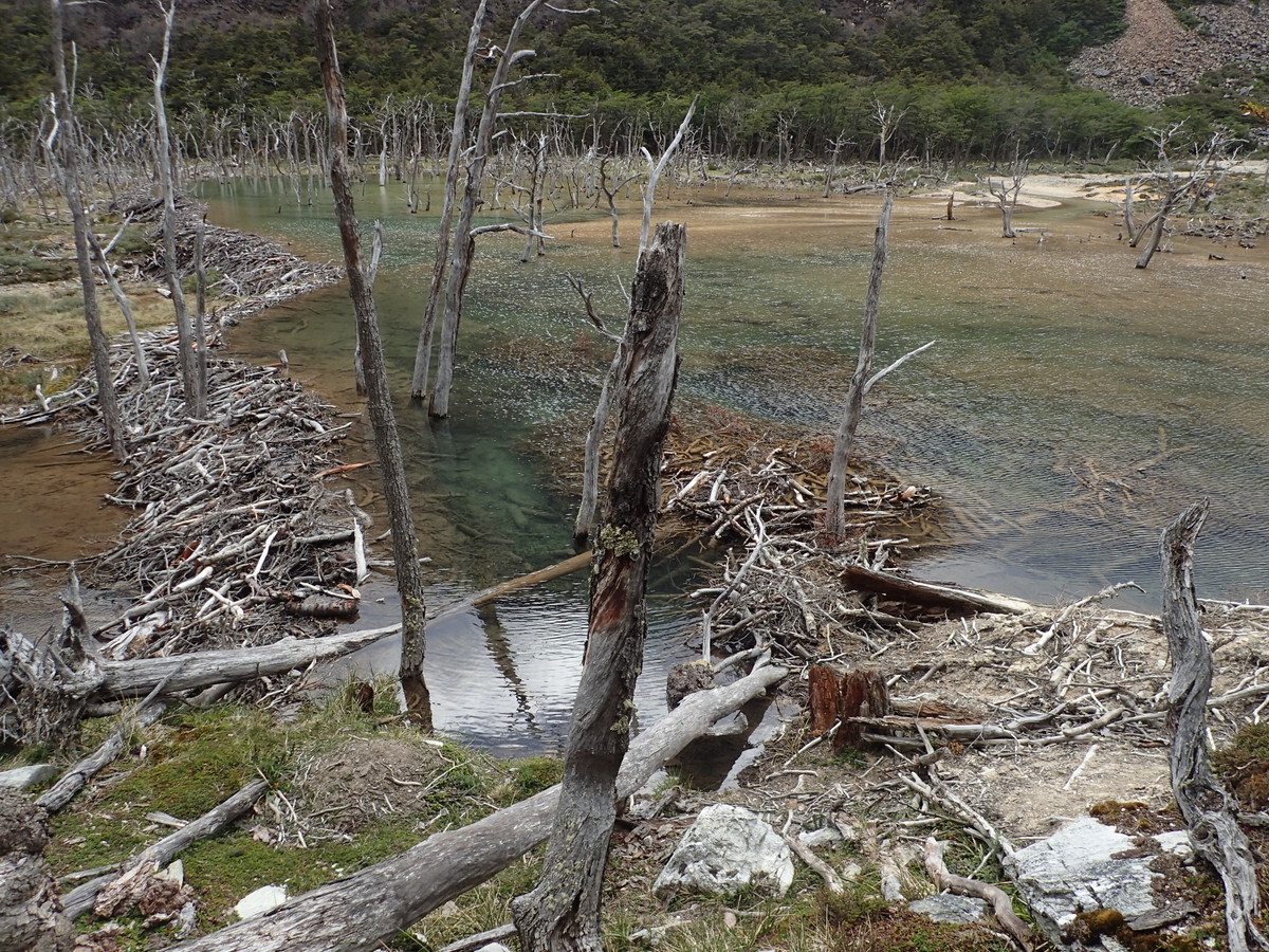
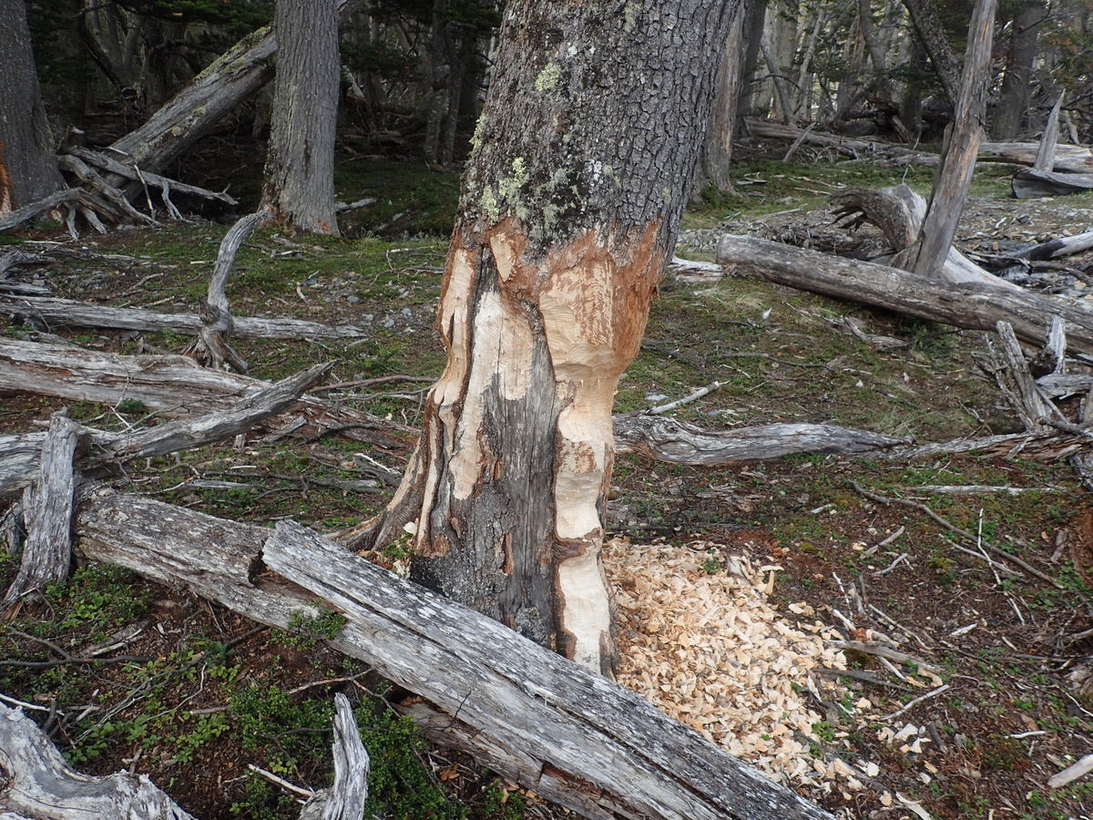
18-P105005821-P105006220-P105006019-P1050059

A word on beavers

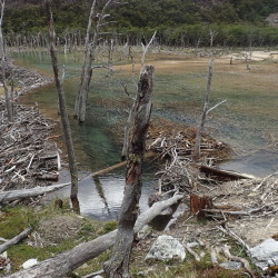
Beavers are absolutely terrible ;) Well, they are in Argentina anyway. They were introduced in 1946 for the fur trade, and while, according to wikipedia there are eradication efforts, it certainly didn’t seem to be working well. We saw dams everwhere. They ruin the landscape and make the hiking hugely harder, as you have to go around the destruction..

17-P1050057

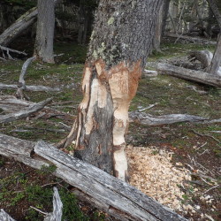
We were cursing them by the end of the trip.. I really hope they can pull together the money to eradicate them, but it’d be a huge project now, not even sure if it’d be possible.

Anyway, good day on all – another reasonable campsite on a river flat, in beaver country, so maybe it won’t be there if you try: S54.68399° W68.33147°(WGS84)

This was our last night with Isidor and Michele, they were doing it one day quicker than us, and had a bus booked… real pleasure hiking with them though.

Next day we had a slightly lazier start, and then walked out. Isidor had a guide from wikiloc suggesting to make the river crossing at S54.69555° W68.26302° (WGS84) which is indeed what we did. Again, didn’t take a picture. The river was already reasonably high (though not swiftly moving) at that point, perhaps a crossing further upstream would have been sensible, and there were trees downstream too so really not a good place to lose your footing. I was ever thankful again for the river crossing course I did with the Canterbury Uni Tramping Club. It’s simple stuff, but rivers are one of (if not the) biggest killers in NZ backcountry trips. Anyway, Maaike and I crossed safely, but I was still happy to be on the other side.

More windfall trees making life hard, beavers, but did find a nice enough campsite (S54.70795° W68.22847° WGS84) for the last night.

Then the following day, fairly quick trip out and only had to wait 15 mins for a hitch back to town.

All in all a good trip, but hard. It was great not to see other trampers for the whole 5 days, and it definitely gave you the feeling that you were “out there”. That said, we’ve had better views for easier walks here in Patagonia ;), so, if you have limited time, I’d suggest doing one of the other walks first. That said, it beats the hell out of the “national park” (at least the official one), more to come on that in the next post.

23-P106006522-P1060063

Miscellaneous bits ‘n pieces

  |  3 Comments

I must mention the food on the trip.

There was a lot of it, and it was uniformly excellent.

Every single morning I had a cooked breakfast, followed by pancakes, bacon & maple syrup. It was delicious and decadent, and I miss it terribly.

4-PC3100211-PC3100182-PC3100193-PC3100201-P10100072-P1010008

Lunch was also buffet, but changed around a lot (often my favourite meal of the day really). Unfortunately I didn’t take any decent pictures.

1-PC220042

And then dinner, the wine was included and unlimited (both wonderful and dangerous). The best thing though was getting to spend time with the other passengers on board, reminded me of commons back in TCD days, good times.


Bridge. Two of the passengers on board were looking for a 3rd and 4th to play bridge. I stepped up, and another passenger did too – perfect. We just played a few times, but I did enjoy it (and realised just how rusty I’d become). I do miss that game. One of the hands my opponents bid (and made) 7NT.. I was most impressed.


Finally, I setup the raspberry pi on our porthole..

1-PC310025

It took pictures every day, every 20 seconds… which I then edited down into one video.. it’s a little bumpy in places, but still… good times!