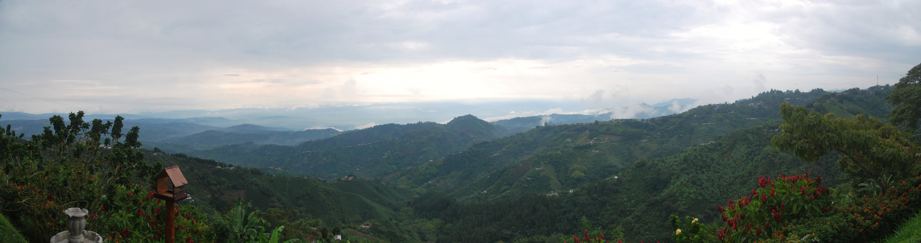
Medellin – Not the murder capital of the world any more!
I wussed out for Medellin. We’d met some girls in the hostel in Salento who told us that they’d been robbed at gunpoint, at 11am, by the bus station. Also, the hostel owner in Manizales told us that he’d been robbed at knifepoint (though I’m not sure when)… so I wasn’t that keen to go at all, let alone stay a few nights. We did basically have to pass through though, but I negotiated Maaike down to just 1 night.
In the event, Medellin was fine… I’m not sure I’d go so far as to say it was a “nice” town, but it was fine enough. A few years ago it was the most dangerous city in the world (when the drug cartels were more in power), but they have really cleaned up the place. A lot of tourists go there to see where Pablo Escobar had one of his houses, but we didn’t go. Part of the reason for not visiting was the aforementioned wanting to get the hell out of dodge, and the other was that Colombia is (understandably) wanting to move past the drug image.
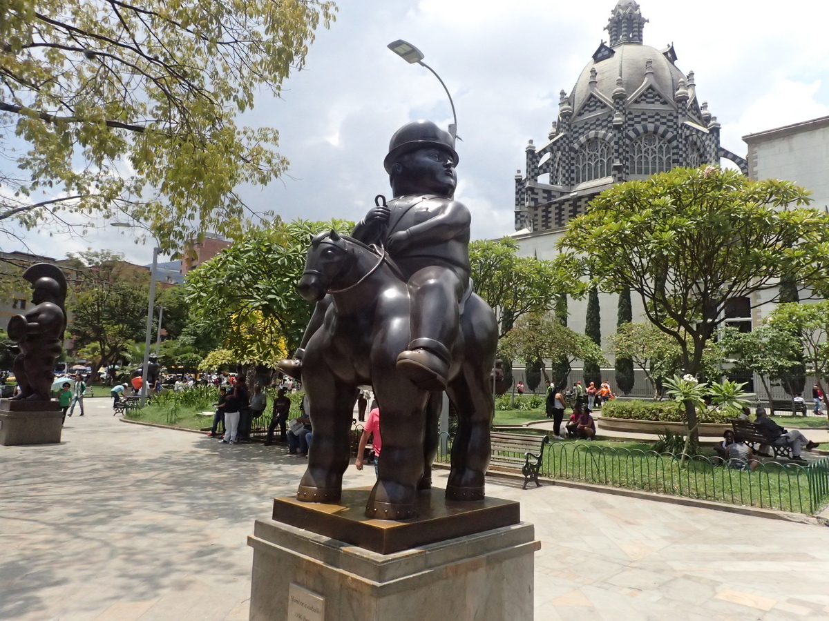
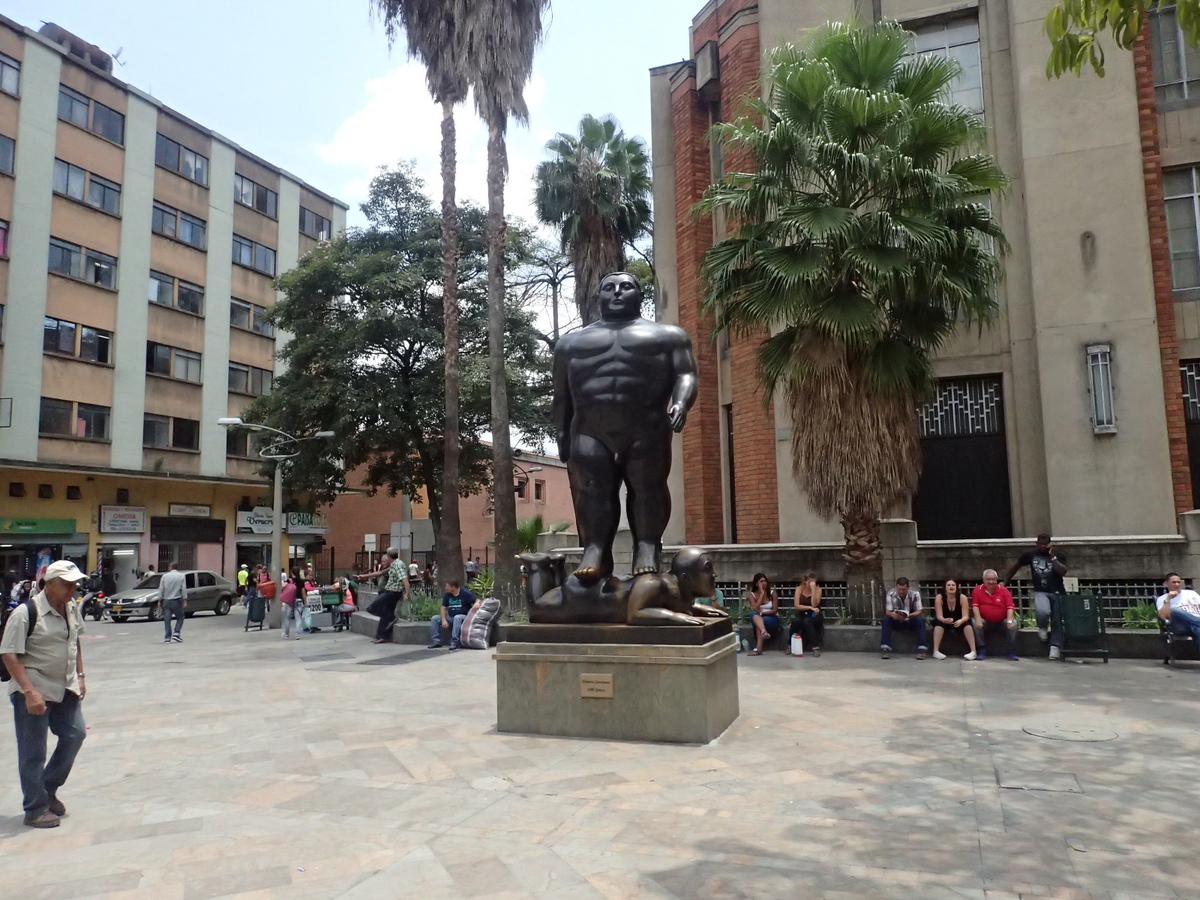
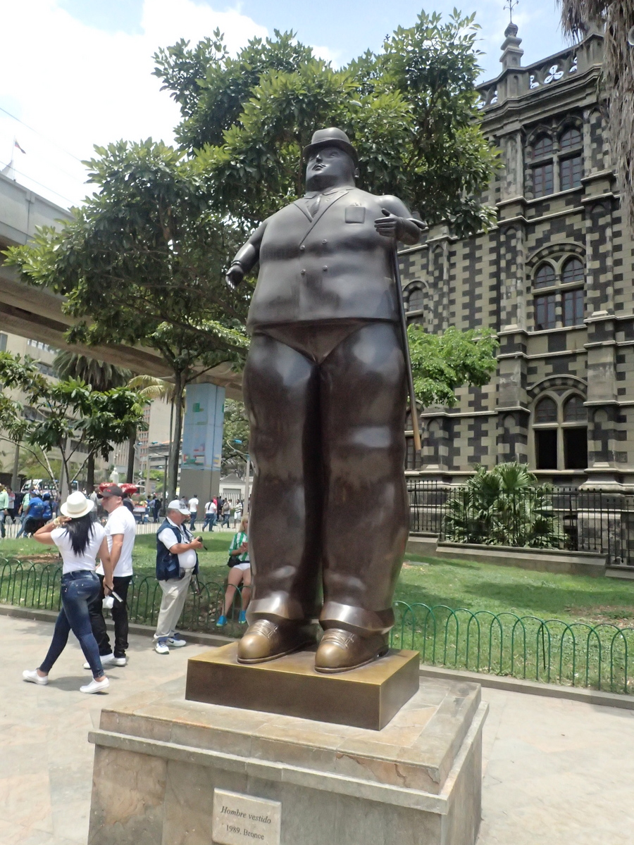
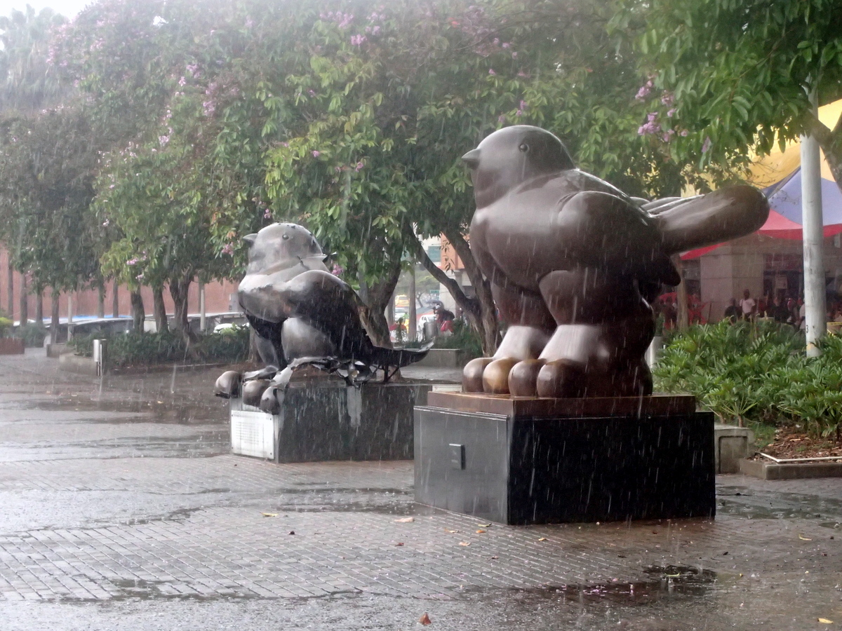
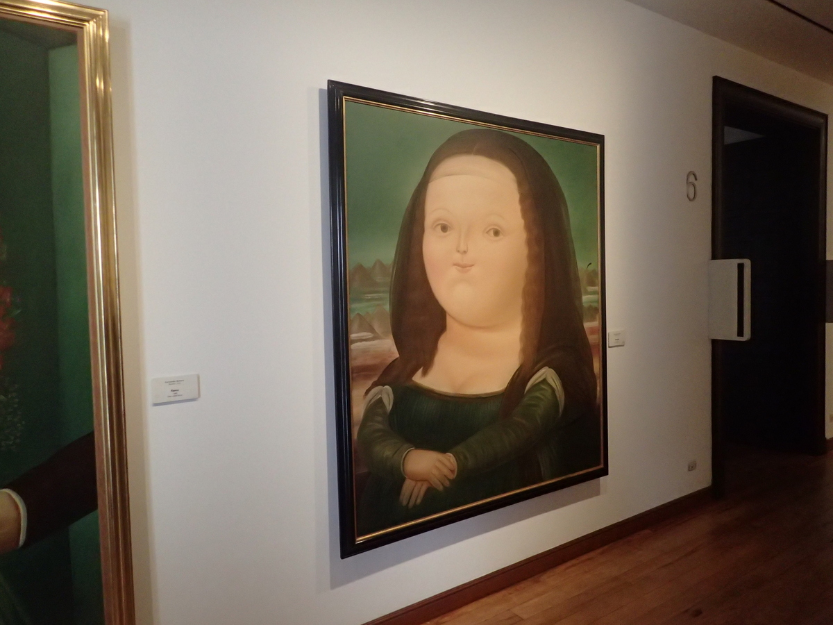
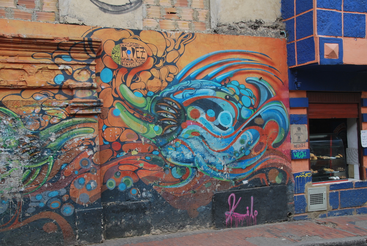
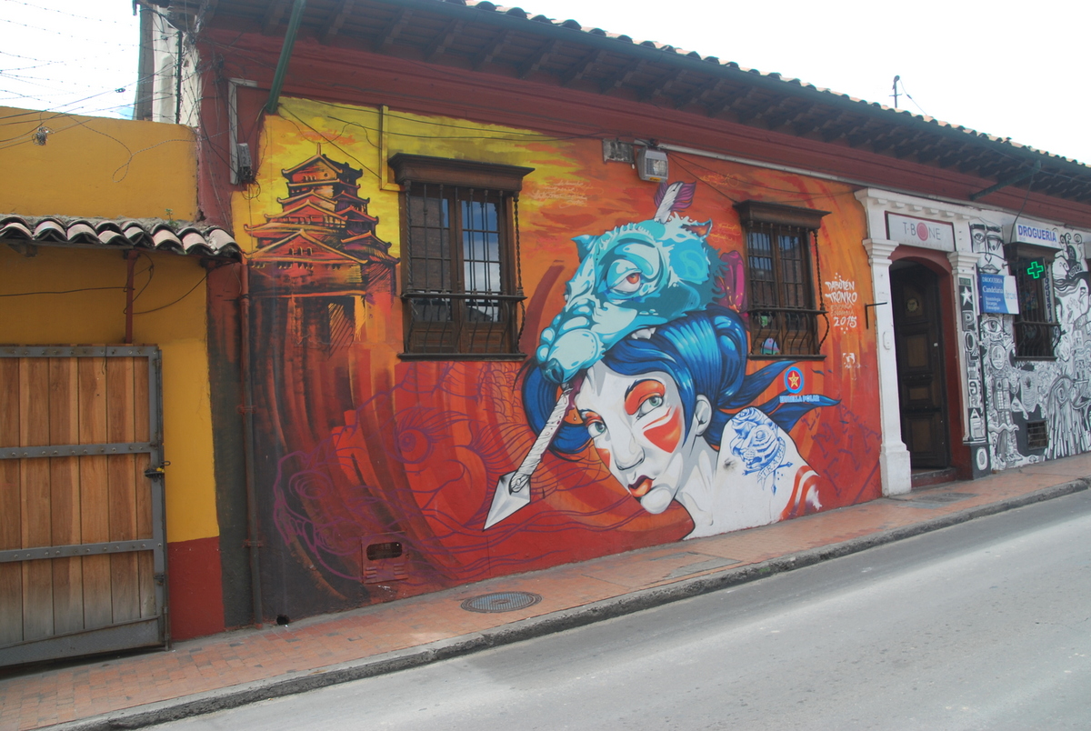
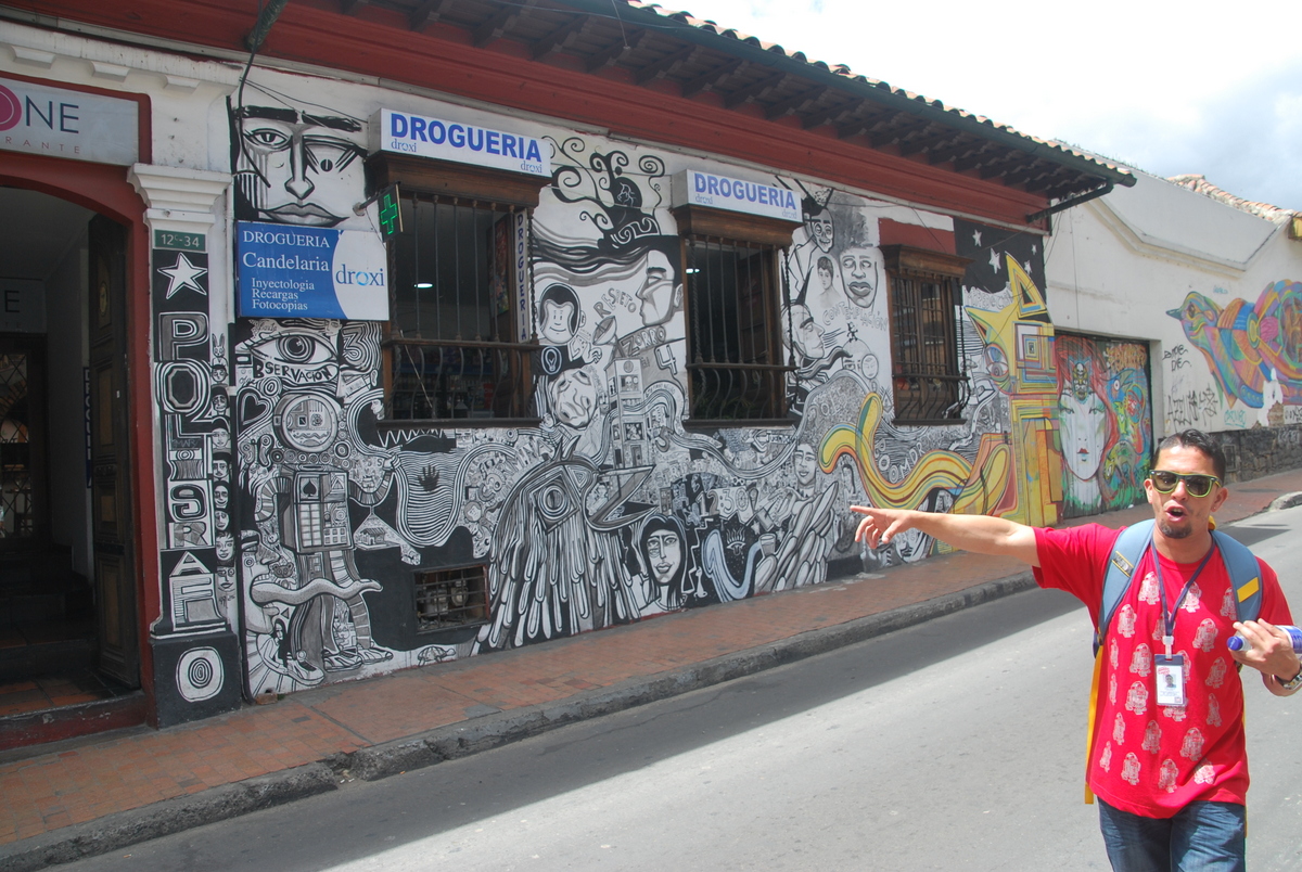
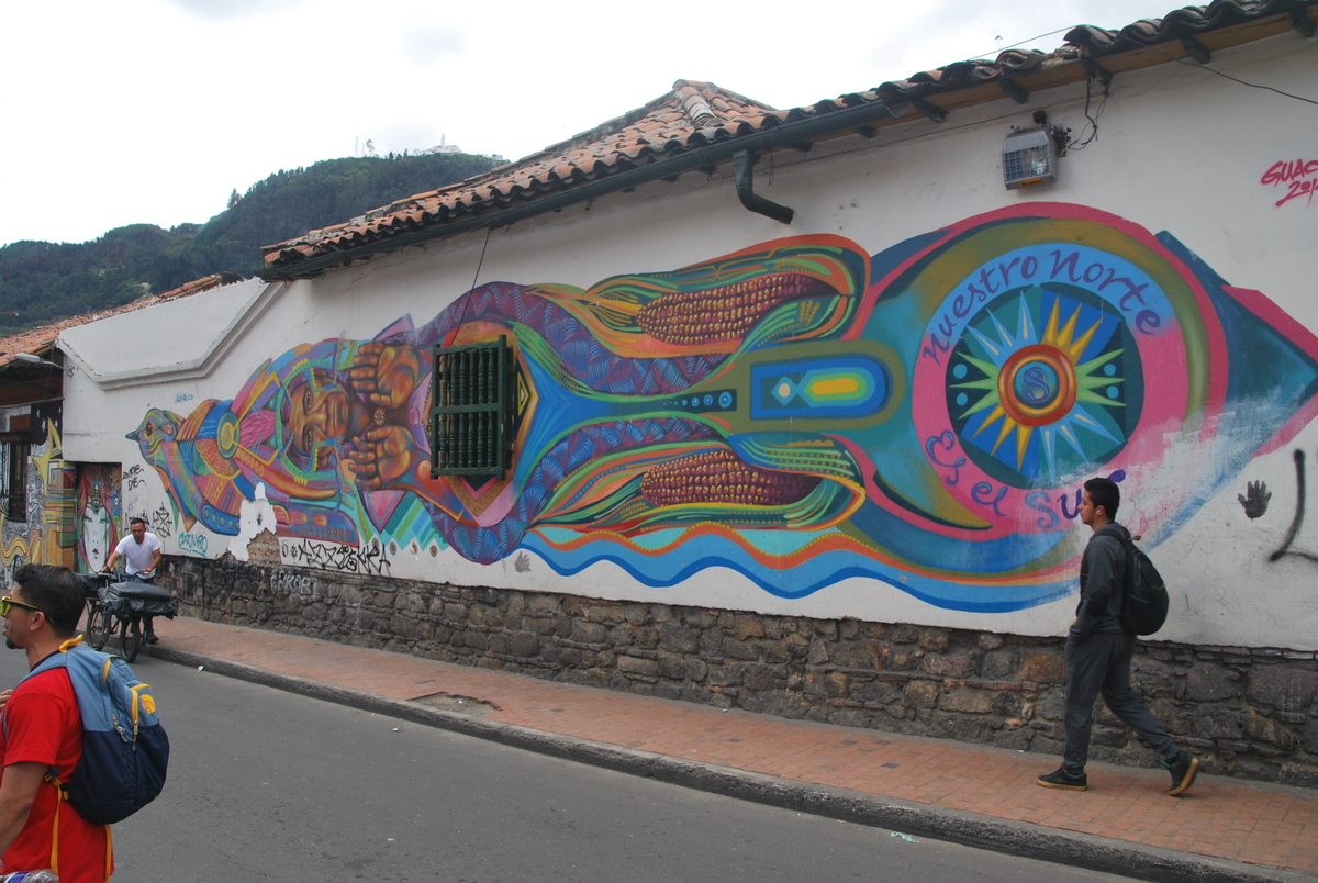
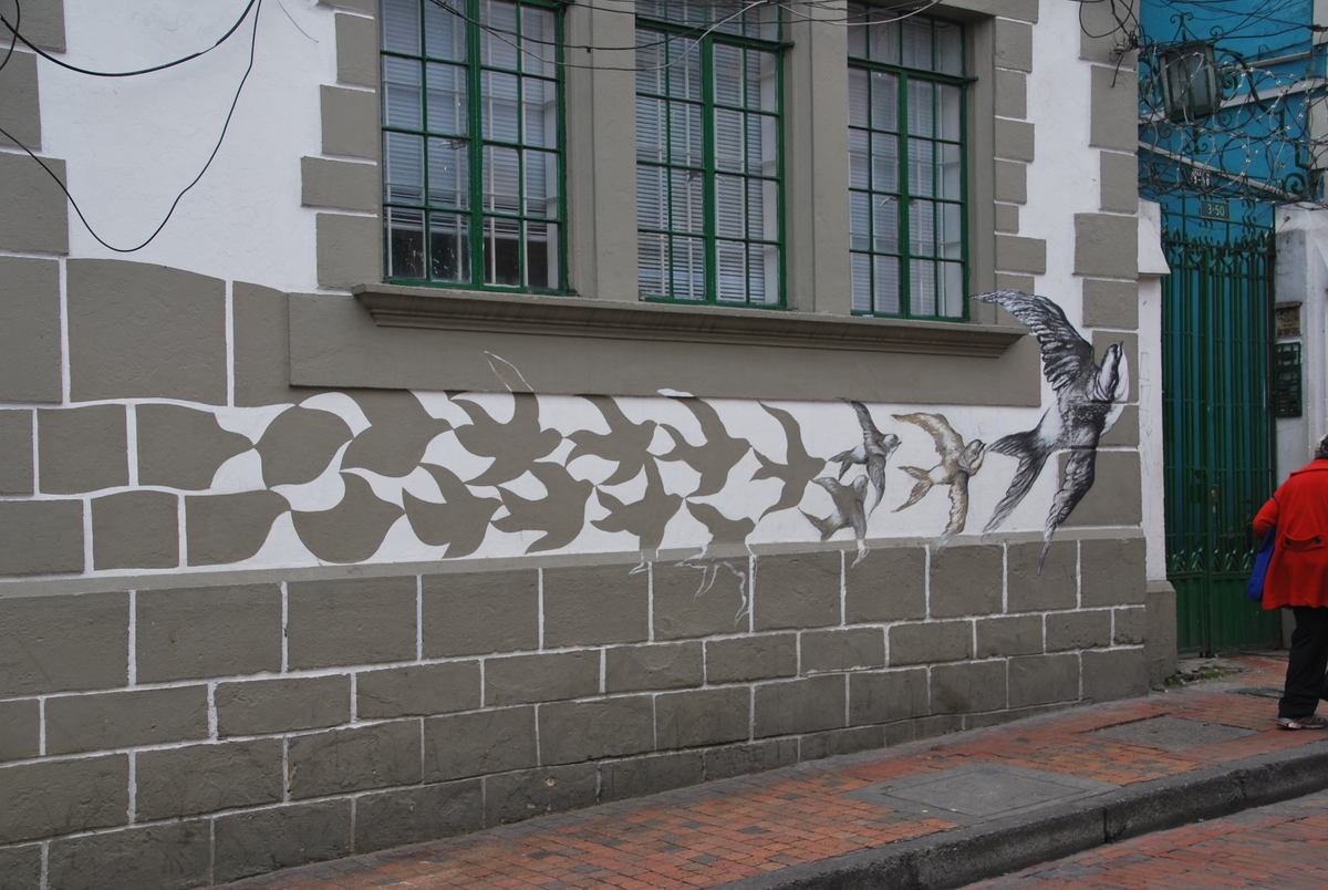
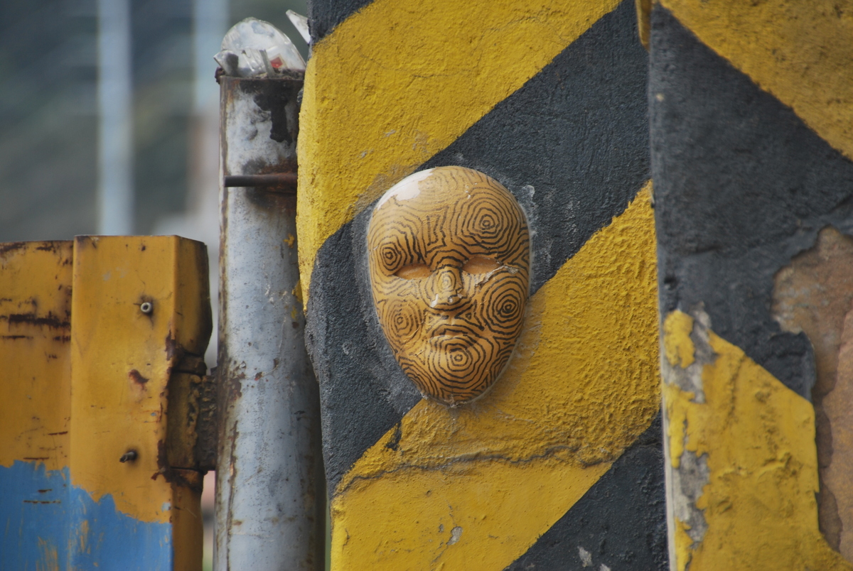
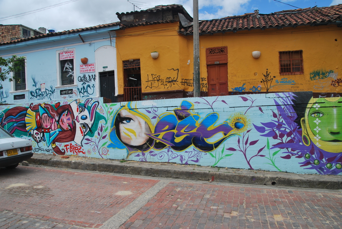
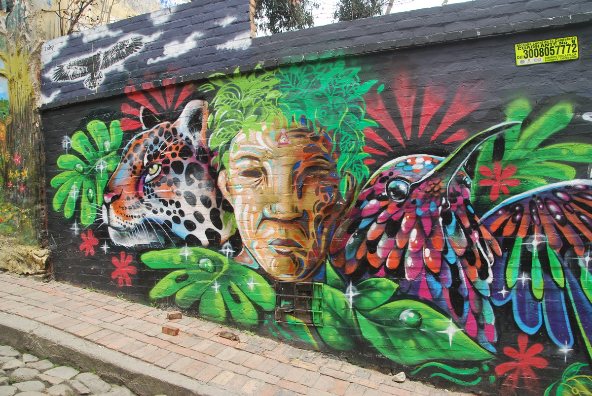
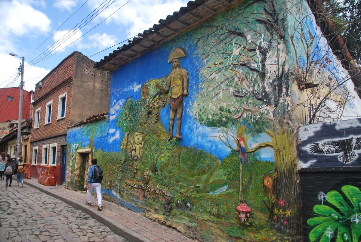
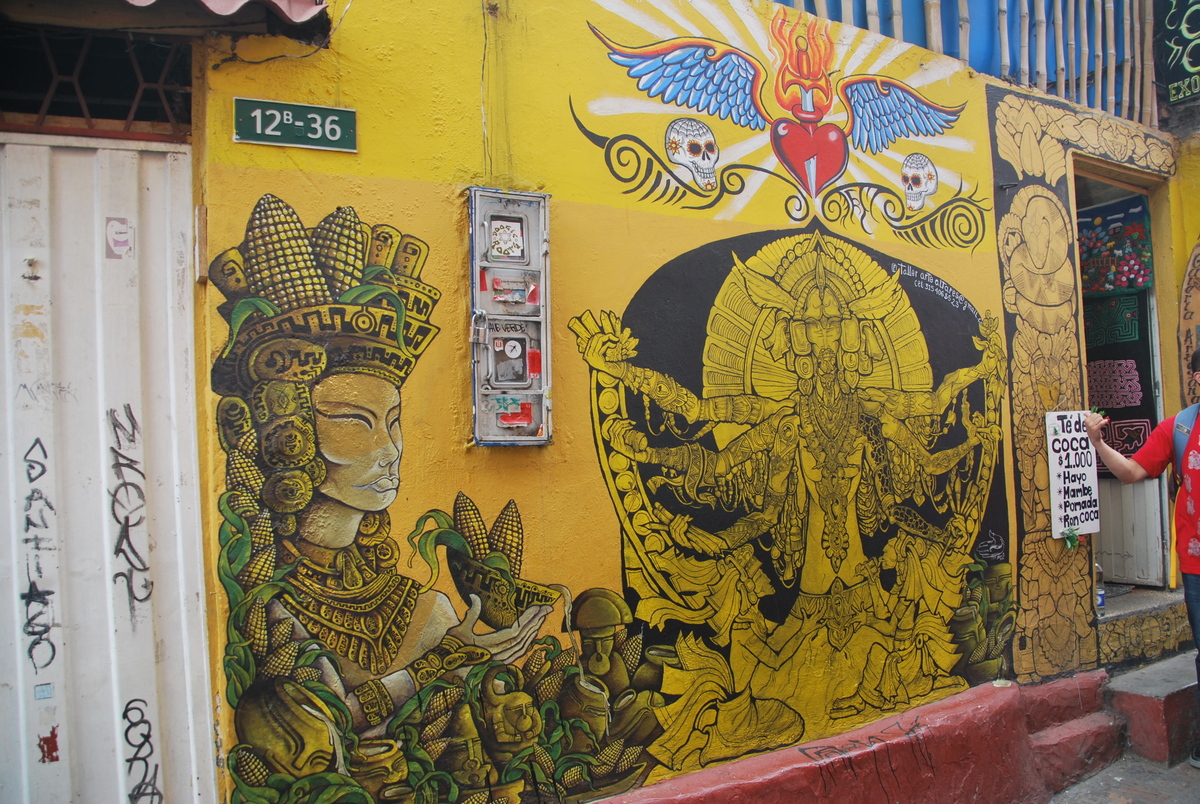
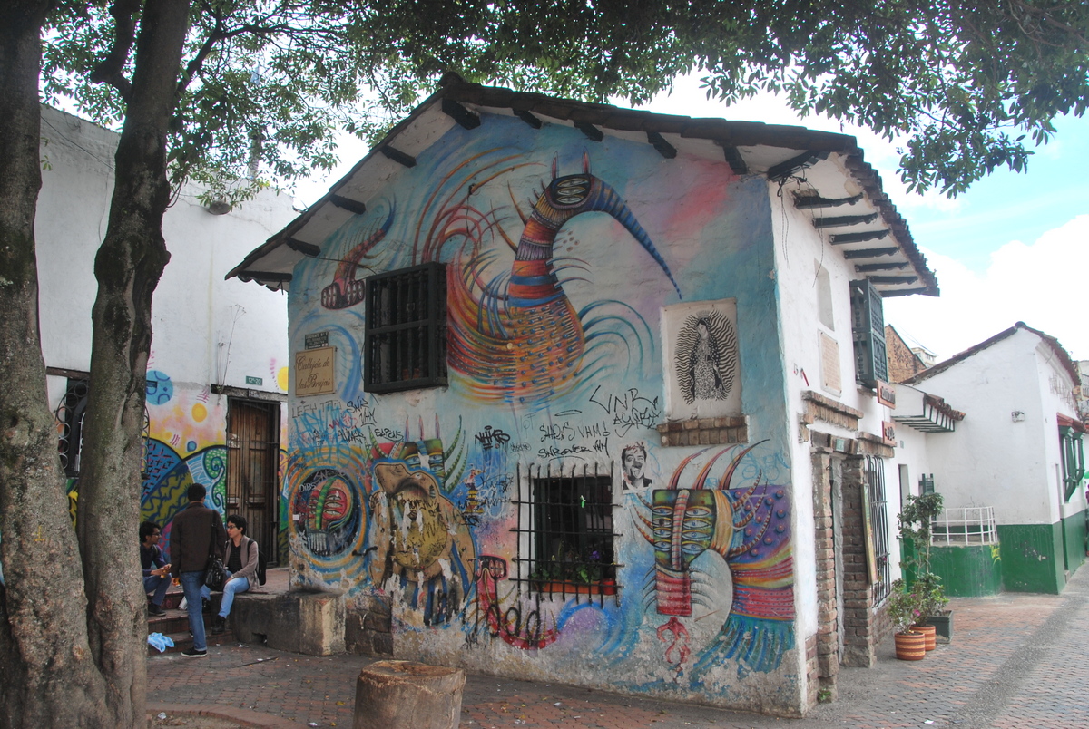
Anyway, we did the walking tour, it’s great, would recommend. It’s also where Fernando Botero is from, and he has donated a lot of art. Below you can see two birds, one partly destroyed. A bomb was placed there and several people (including children) killed. The authorities were about to take it away when the mayor got a call from Fernando basically saying “don’t you dare take that away”, and he then donated another bird to go beside the bombed out one. A powerful reminder of where they were and hope for a better future.

One of the actions which spurred positive change in the city was electing a new mayor back in early 2000’s. He was a maths professor and prioritized a couple of things.
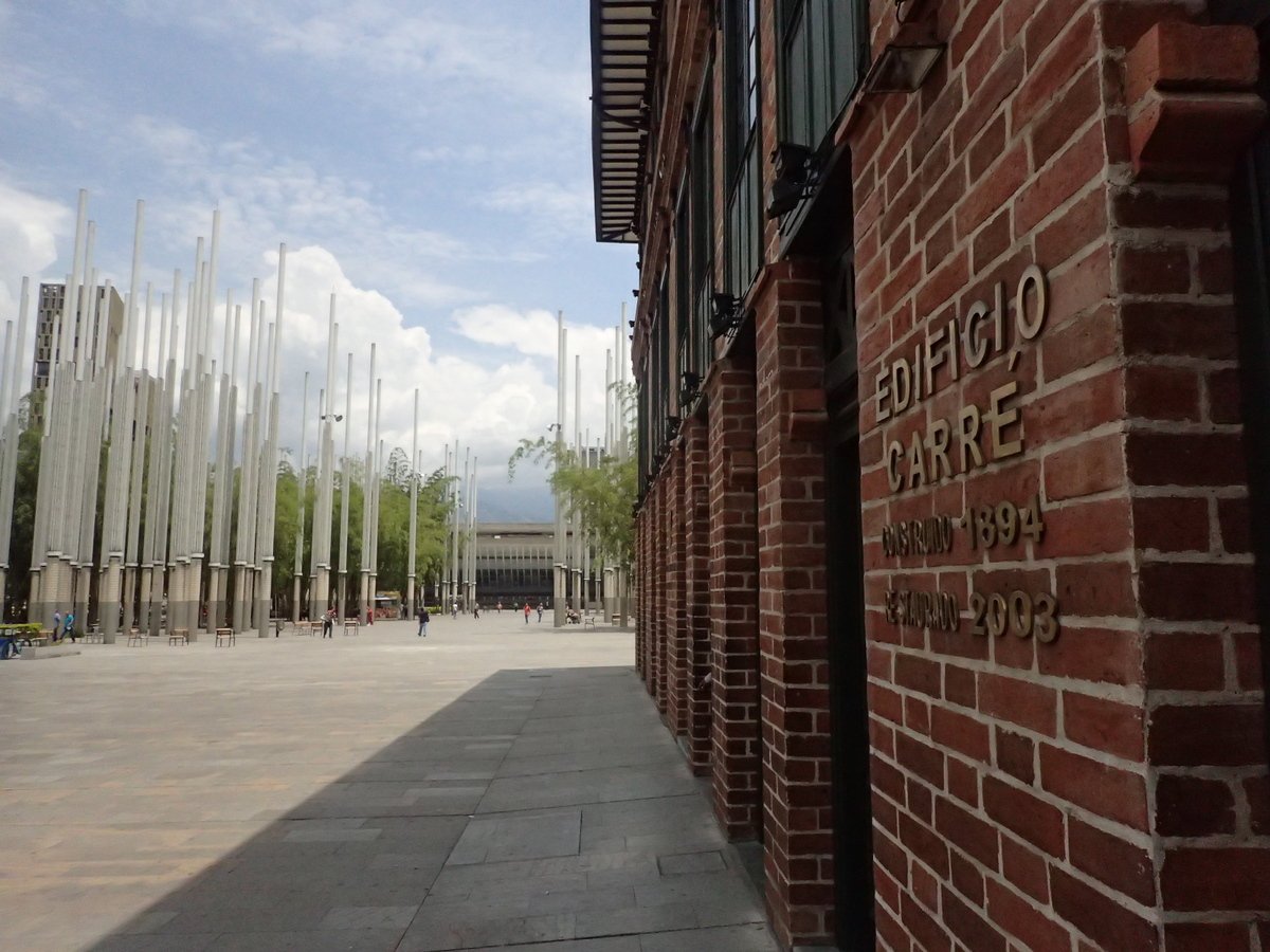
- He installed artwork in dodgy parts of town. So, places that had been historically bad areas were rejuvenated.
- He prioritised libraries. So anyone in whatever part of town had (free) access to libraries.
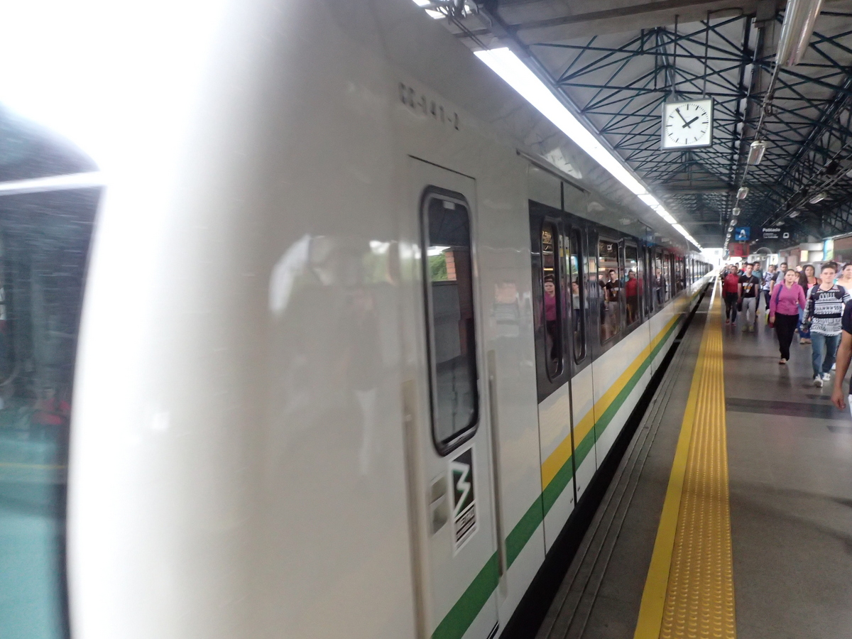
The other thing was the metro system they have. It connects across the city, from the poorest areas to the richest, and all tickets cost the same, regardless of distance. So this means that no matter where you live you can get to work in the city if that’s what it takes. There is no damage / graffiti to be seen, and from talking to people, it seems like it’s one thing they all agree to look after.
So, I was probably wrong not to give Medellin a longer stay. They really have turned the city around, and while muggings & theft still happen, it’s unlikely that you’ll run into it. Just keep your valuables out of sight (preferably in a money belt), don’t use your smartphone more than necessary walking in the street (snatchings happen), keep things in zip pockets where possible, have a small lock for your bag to prevent opportunistic thefts (thanks Myra for the combination lock!), and once you’re checked into your room, leave most stuff there and only go out with enough cash for what you need. That should do it. Oh, and cover your ATM combination when typing it in!
And yes, it used to be the murder capital of the world.. but no more!


Recent Comments