Sierra Valdivieso circuit
We had meant to do this hike last thing before leaving ushuaia, as we thought it would be the hardest, however, two friends from the Cruise – Isidor and Michele, wanted to do it, so we decided to go along with them.
There’s a nice visualization of the route on the garmin adventure site by a Paul Schwanitz (good work Paul!). The track may once have been popular, but it doesn’t look like it gets that much use now.
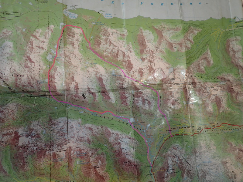
It was hard work. Sure we’d just come off a cruise and were fat and unfit, but still, it was a hard trip. In the map below, I’ve very very roughly outlined the route (there is a track in places, the pinkish bits); where it is marked in red, the track basically doesn’t exit and you’re following little animal tracks, maybe a bit of old track, then it’ll peter out..
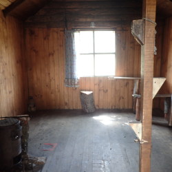
Anyway, first off walk up towards the passes, passing an hut along the way. I think it’s free to use?
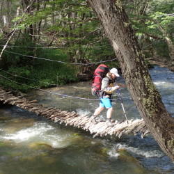
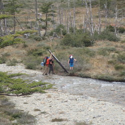
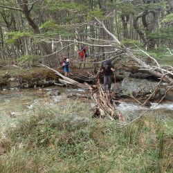
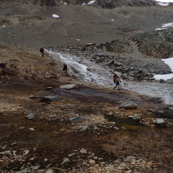
I was shocked and stunned at the lengths some people, Maaike included went to keep their feet dry. In NZ, I generally just walk through the streams accepting wet feet. Maybe that’s because there’s less wood around to make a bridge out of, but, generally speaking, it’s a lot safer to just wade through the water rather than make some slippy bridge to go over.
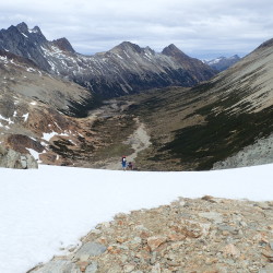
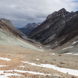
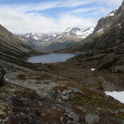
Turning up the right ridge to the pass and following a few cairns, then up over the passes themselves. We had a bit of a snow slope to go up, but it wasn’t icy when we went across it, so just kicked steps in and off you go.
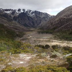
And then a descent down the other side, through beaver country (more on those feckers later), and then our first campspot (S54.64517° W68.25648° WGS84)
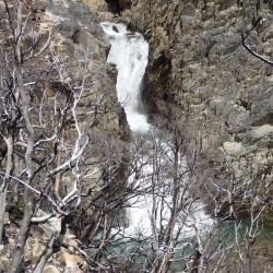
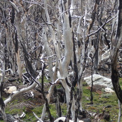
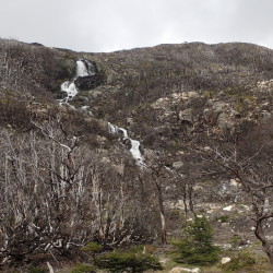
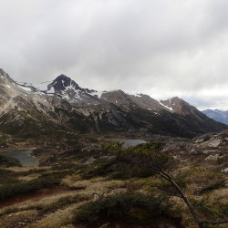
Next day was a beast of a day, through a forest which had been burned, accidentally, by fire wardens. Story seems a little too good to be true, but anyway, huge chunk of forest was burned, and the way we were going (around one valley and into the next) wasn’t an official track anyway. It was hard going, loose rocks, trees all over the place.. hard.
I didn’t take any pictures of the “fight” (hard undergrowth) but it was pretty dense in places. We happened across a very nice little campsite, basically by luck, S54.62020° W68.33524° (WGS84). Neatly between a couple of small waterfalls, really lovely spot to camp, wish I’d taken a picture :) It was a good choice to stop there, it was about 17:00, and we’d hoped to get further, but there probably wasn’t a decent campsite for easily another few hours (and that was the first decent spot for hours too). Phew! I mean we’d have made do for sure, but the ground was level and dry..
Next day, first few hours was more fight, stepping up through what looked to be high enough cliffs around lakes, but, once you got close enough there was generally a way you could haul yourself up. It was a good thing that Isidor and Michele were happy with a climbing, exposure, heights etc. In retrospect, it was fantasic that they’d come along, but lucky that we were all of a good enough skill level to get through it without tears & still being friends!
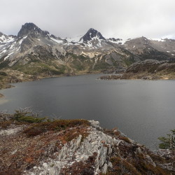
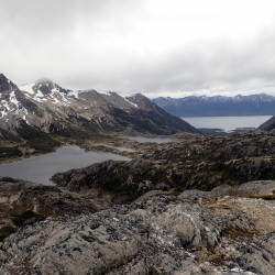
The second half of the day was lovely though, open tops, clear views over the lakes, very nice walking.
A word on beavers
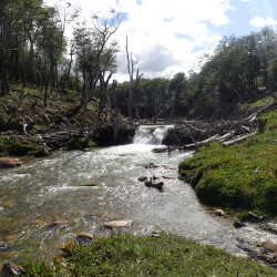
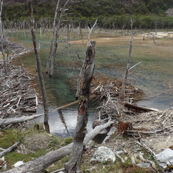
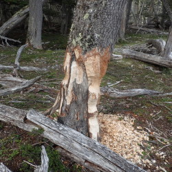
Beavers are absolutely terrible ;) Well, they are in Argentina anyway. They were introduced in 1946 for the fur trade, and while, according to wikipedia there are eradication efforts, it certainly didn’t seem to be working well. We saw dams everwhere. They ruin the landscape and make the hiking hugely harder, as you have to go around the destruction..
We were cursing them by the end of the trip.. I really hope they can pull together the money to eradicate them, but it’d be a huge project now, not even sure if it’d be possible.
Anyway, good day on all – another reasonable campsite on a river flat, in beaver country, so maybe it won’t be there if you try: S54.68399° W68.33147°(WGS84)
This was our last night with Isidor and Michele, they were doing it one day quicker than us, and had a bus booked… real pleasure hiking with them though.
Next day we had a slightly lazier start, and then walked out. Isidor had a guide from wikiloc suggesting to make the river crossing at S54.69555° W68.26302° (WGS84) which is indeed what we did. Again, didn’t take a picture. The river was already reasonably high (though not swiftly moving) at that point, perhaps a crossing further upstream would have been sensible, and there were trees downstream too so really not a good place to lose your footing. I was ever thankful again for the river crossing course I did with the Canterbury Uni Tramping Club. It’s simple stuff, but rivers are one of (if not the) biggest killers in NZ backcountry trips. Anyway, Maaike and I crossed safely, but I was still happy to be on the other side.
More windfall trees making life hard, beavers, but did find a nice enough campsite (S54.70795° W68.22847° WGS84) for the last night.
Then the following day, fairly quick trip out and only had to wait 15 mins for a hitch back to town.
All in all a good trip, but hard. It was great not to see other trampers for the whole 5 days, and it definitely gave you the feeling that you were “out there”. That said, we’ve had better views for easier walks here in Patagonia ;), so, if you have limited time, I’d suggest doing one of the other walks first. That said, it beats the hell out of the “national park” (at least the official one), more to come on that in the next post.
Recent Comments