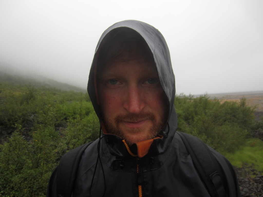
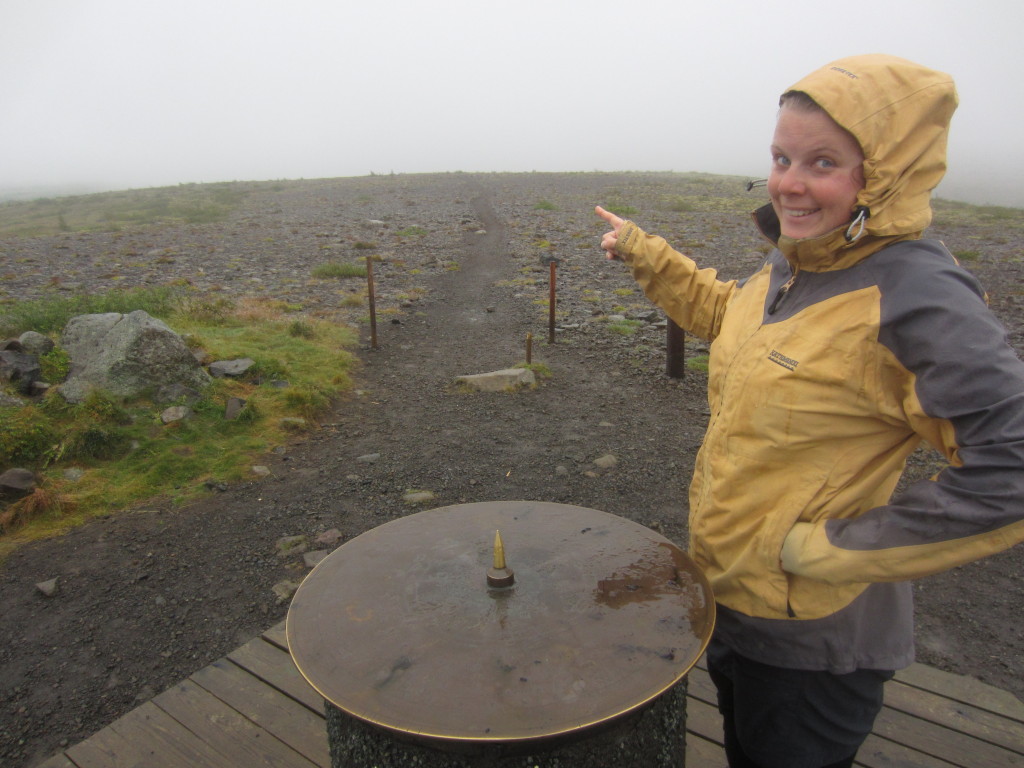
PUFFINS!!!!!!!! (and towards Fimmvorduhals)

  |  0 Comments

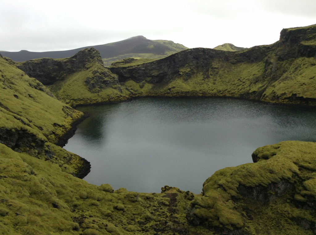
This blurry shot is of a small hillock. On the top of the hillock you can see a tuft of grass. Well, if it was a better shot you could. It’s there because birds stay there to survey their surrounds from a higher spot, and leave their guano. Funny.

IMG_0648

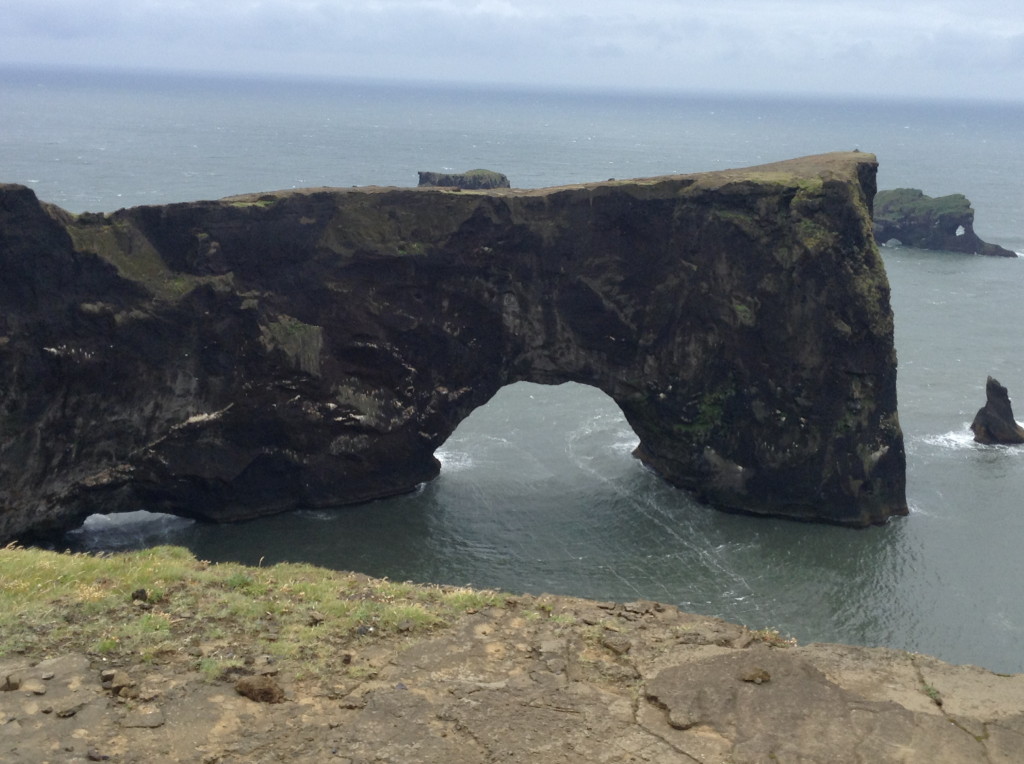
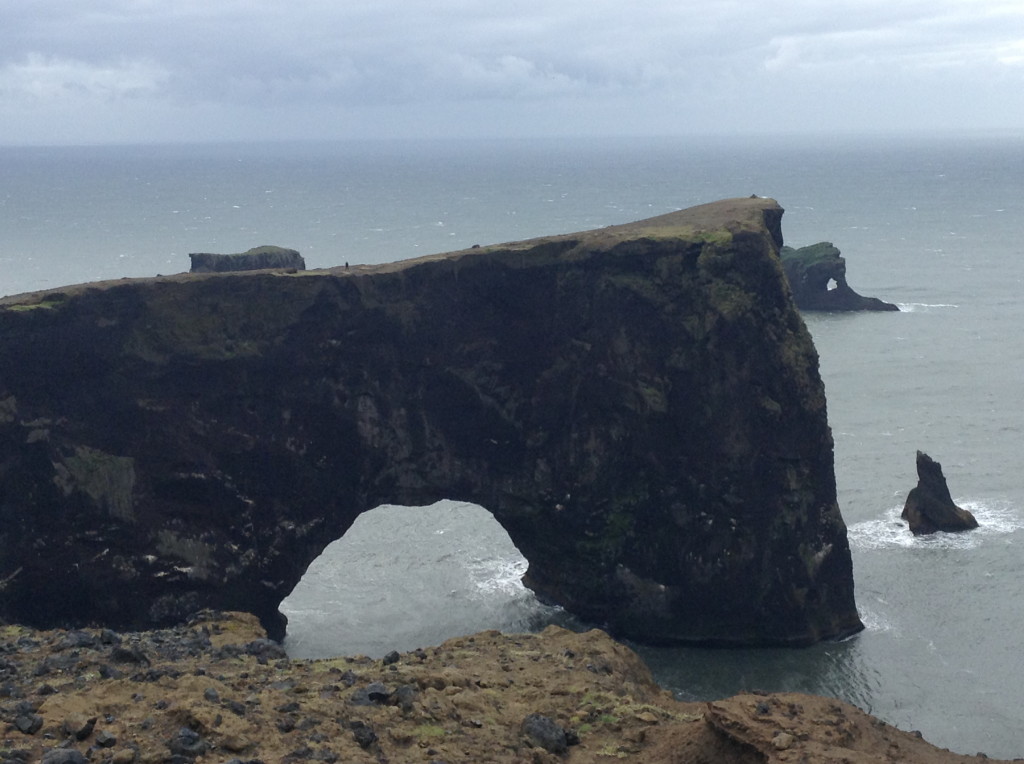
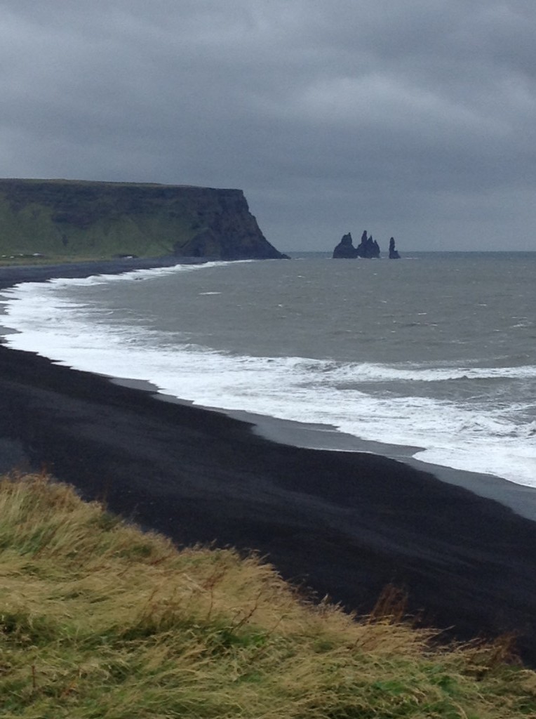
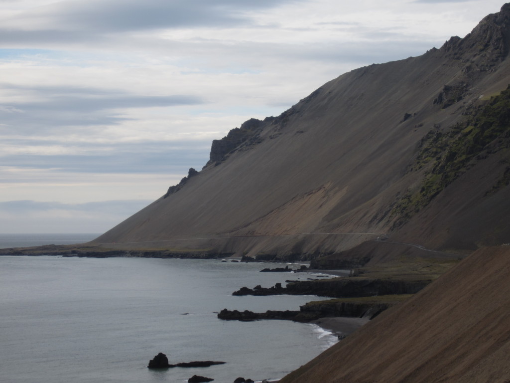
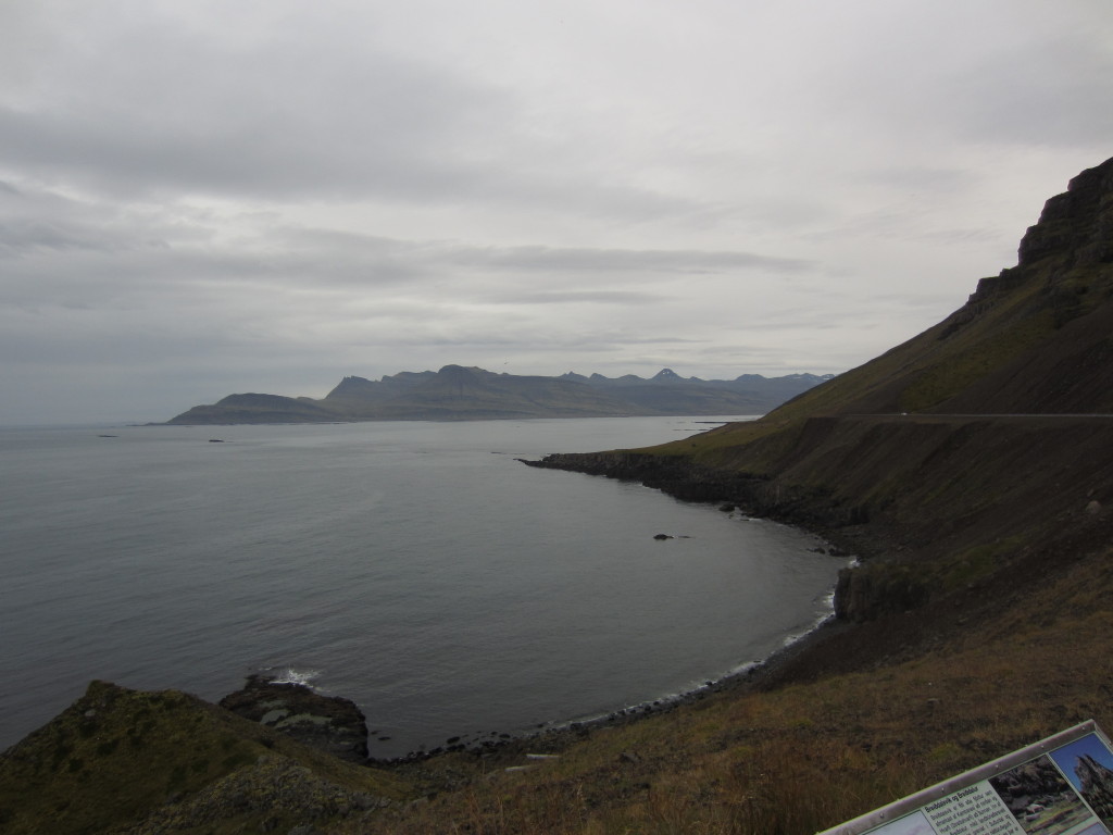
The main event though was at Dyrholaey and Reynisfjara. It was a hellishly windy day. Very very windy. And there was this huge sea stack which I thought would make an excellent Facebook profile shot (it’s terrible when you find yourself, even occasionally, thinking in Facebook profile shots.. I should probably quit immediately). Anyway, Maaike wasn’t that excited about going out onto it (did I mention the wind).. but she did venture out a bit – and then she spotted the PUFFINS!! (we had hoped to see them here, but still.. they should have left already)

IMG_0665IMG_0668IMG_0695IMG_0713puffinsIMG_0737IMG_0765IMG_0782

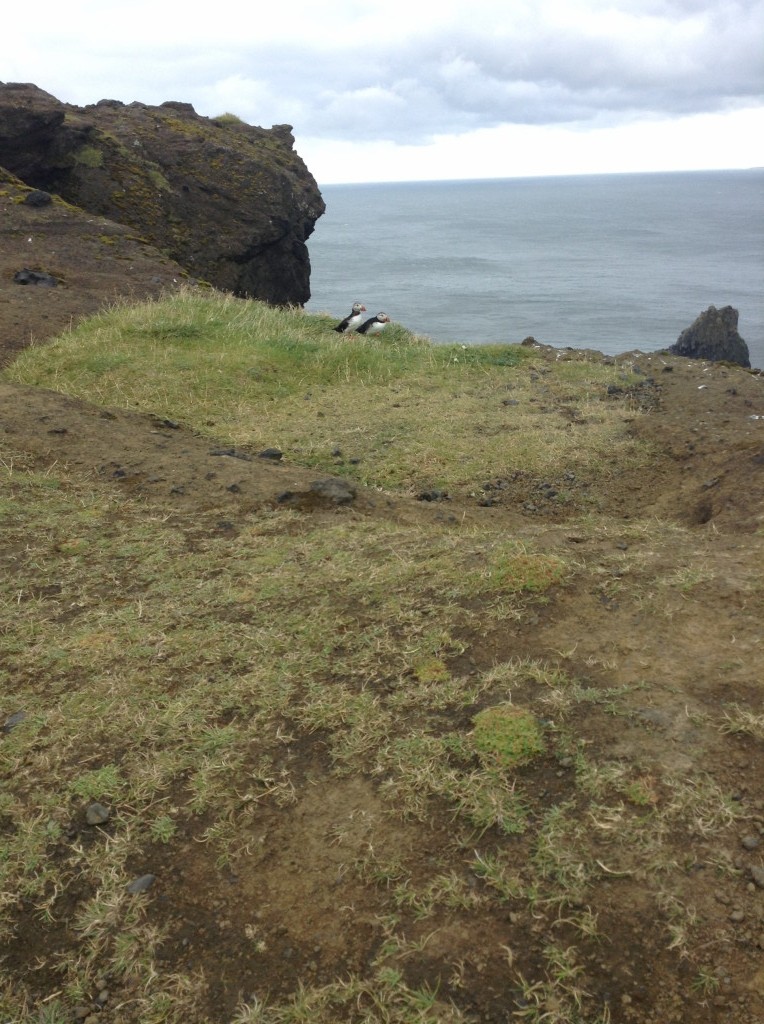
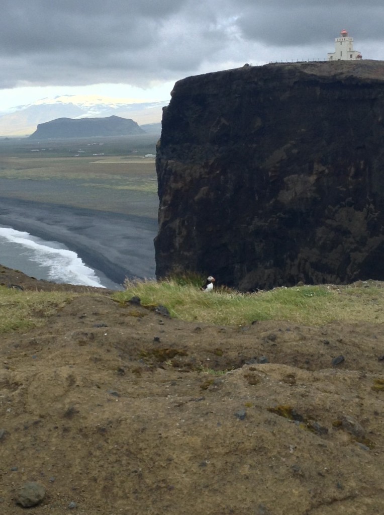
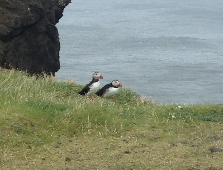
Puffins are awesome. I also really like the Dutch word for them “papegaaiduiker”, which translates as “parrot diver”

puffins - tick

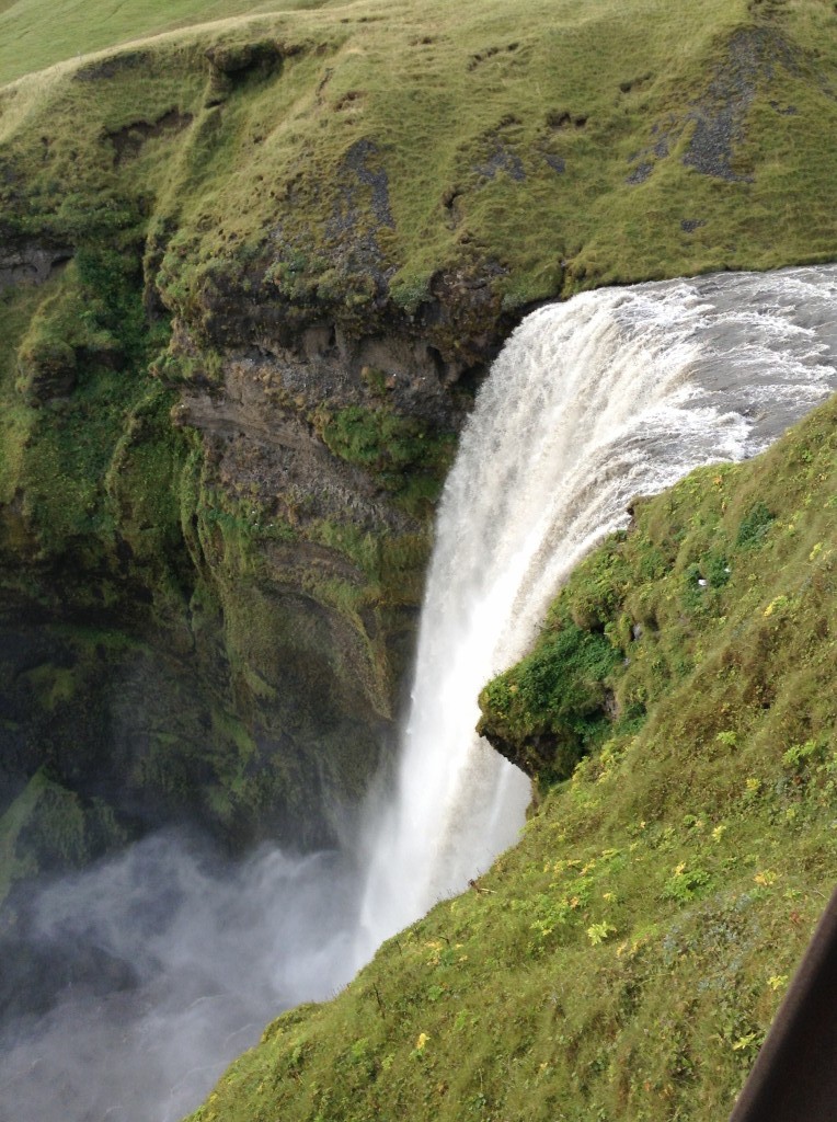
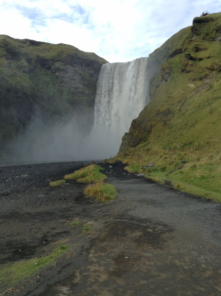
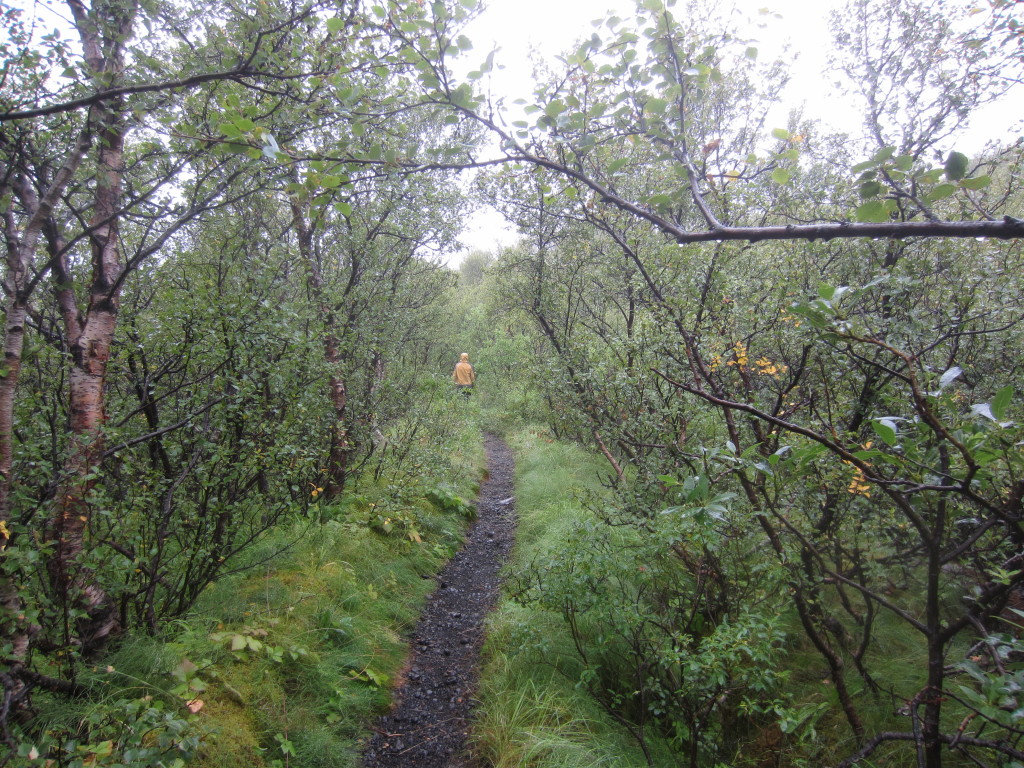
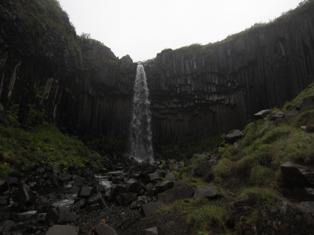
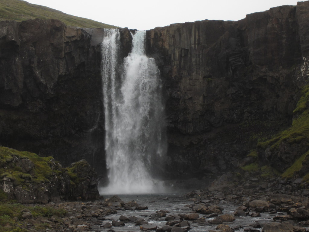
Then it was off to Fimmvorduhals, we had a quick hike up the waterfall (5 mins from the campsite), and got ready to do a day walk the next day.. turned out to be one of the best hikes I’ve ever done anywhere.. absolutely amazing.. pictures to come in the next post ;)

IMG_0819IMG_0823

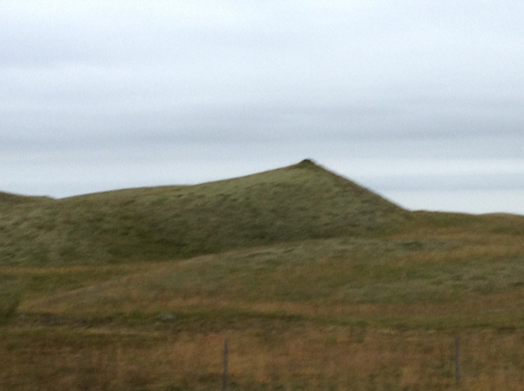
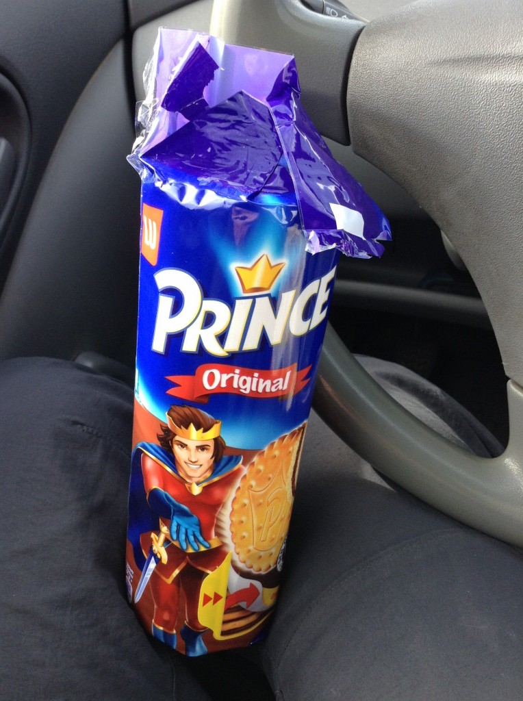
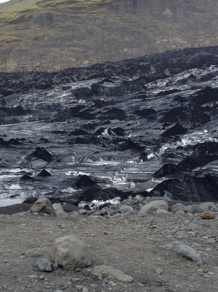
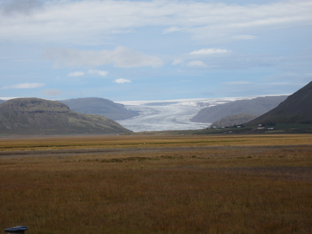
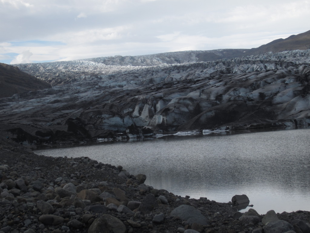
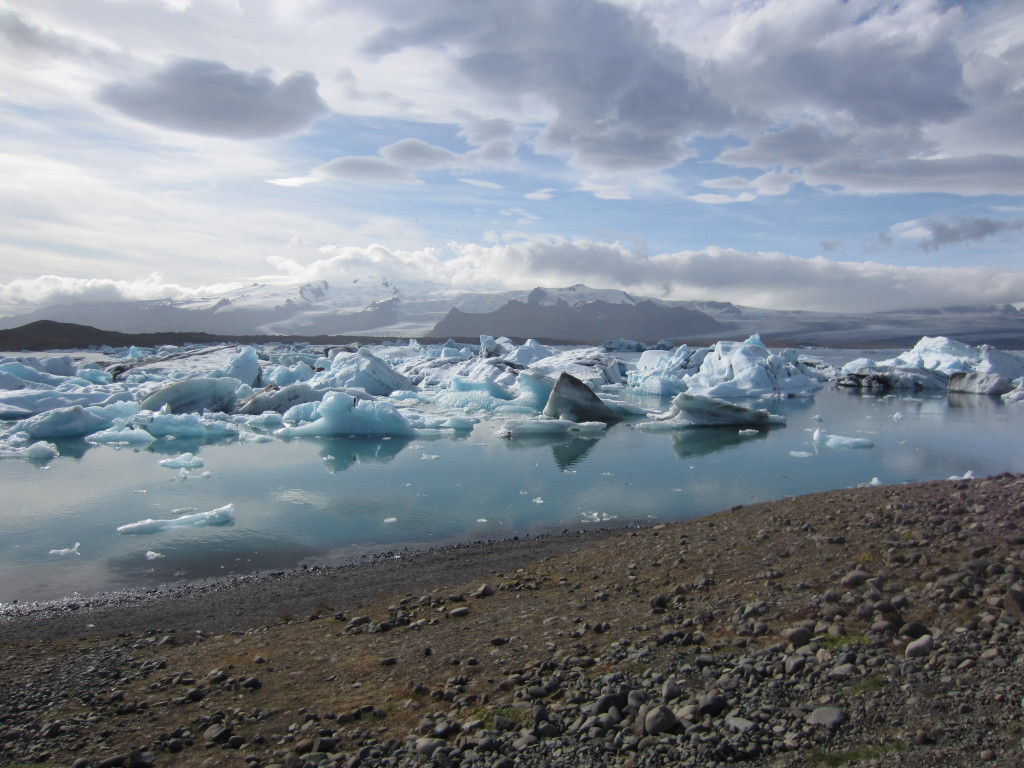
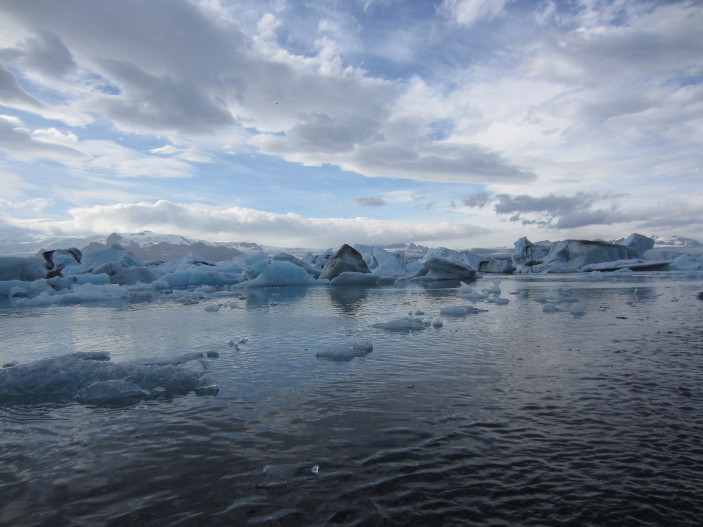
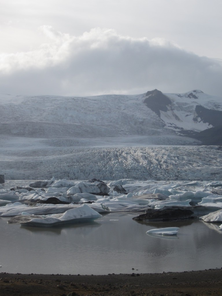
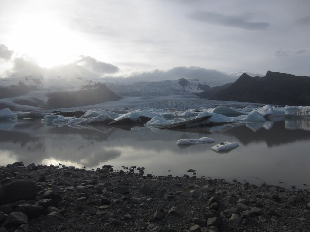
Oh, finally, we went to another glacier (they’re everywhere!). Retreating fast, and leaving these interesting mounds of dirt behind (conical).. The dirt insulates the ice underneath, so it melts more slowly, leaving these conical formations. Also, I ate a lot of prince biscuits… really brought me back to the many many wonderful family summers I spent camping in France. Nyom Nyom Nyom.

IMG_0794IMG_0804

Skaftafell & Laki (and thereabouts)

  |  0 Comments

Next it was on down to Skaftafell, a national park which came highly recommended. On the way there we passed Dverghamrar, a slightly strange place with some columnar jointed volcanics

IMG_0581

There are actually two distinct sections in this picture, with the lava having been cooled from beneath and above respectively (and the above cooling was more rapid, probably by a river flowing over it). Honestly, you need to come here with a geologist in tow.

So, after that it was Skaftafell. In fairness, we caught it on a miserable weather day and I found out that my waterproof jacket… wasn’t… any more. So, cold, wet, miserable and with little views, I can happily say that it was the complete lowlight of Iceland for me.

IMG_1512IMG_1508IMG_1509IMG_1505

The one tiny redeeming feature was the tree life! (we hardly saw any trees to note while being in Iceland, probably the starkest difference from NZ).


The next day we visited Laki
Worth reading the article.. but some quotes

The system erupted over an eight-month period between 1783 and 1784 from the Laki fissure and the adjoining Grímsvötn volcano, pouring out an estimated 14 km3 (3.4 cu mi) of basalt lava and clouds of poisonous hydrofluoric acid and sulfur dioxide compounds that killed over 50% of Iceland’s livestock population, leading to a famine that killed approximately 25% of the island’s human population.

The Laki eruption and its aftermath caused a drop in global temperatures, as sulfur dioxide was spewed into the Northern Hemisphere. This caused crop failures in Europe and may have caused droughts in India. The eruption has been estimated to have killed over six million people globally, making the eruption the deadliest in historical times.

….

The consequences for Iceland, known as the “Móðuharðindin” (Mist Hardships), were catastrophic. An estimated 20–25% of the population died in the famine and fluoride poisoning after the fissure eruptions ceased. Around 80% of sheep, 50% of cattle and 50% of horses died because of dental and skeletal fluorosis from the 8 million tons of hydrogen fluoride that were released.

Bad stuff in other words. Stunning scenery though. You really get an idea of the scale of the thing, as you’re driving for miles and miles through barren lava flow scenery. Ok, green, as moss has returned, but still – totally totally devastated.

IMG_0619IMG_0623IMG_0627IMG_0629IMG_0612IMG_0610IMG_0585IMG_0603IMG_0617
IMG_0619

Yeah, fantastic place. We live on a violent planet at times.

IMG_0609

These weird rings are formed by a fungus. Nor fairies. Well, no one has spotted them anyway.

Stayed the night in… a town… and they have this monument pointing towards Britain. There’s a sister monument pointing back this way. Celebrating the links through the seafarers life.

IMG_0654

Down the coast to Jokulsarlon

  |  4 Comments

Well, it just got more and more stunning the further south we went along this rugged coastline. We stopped for a quick walk … somewhere… ;) (Need a working camera with GPS really, hey ho).

IMG_1344IMG_1347IMG_1351IMG_1365IMG_1369

Here’s a before & after picture of what the road used to look like. Highway 1 is almost entirely sealed now, but not quite.

IMG_1383IMG_1389

Then it was on down the coast. The first time you see the icecap flowing down towards you it is… breathtaking really. No other way to describe it. Like everywhere the icecap & glaciers are retreating at a massive rate.

IMG_1384IMG_1393

We did a short walk to one of the smaller glaciers. A nice walk in that it was fairly quiet. We discovered that Maaike and I have different desires when it comes to touring. I prefer zapping around all the major highlights, Maaike enjoys staying in one place for a while and exploring, and certainly getting off the beaten track. We mostly managed to cover both bases.. ;)

IMG_1416IMG_1433IMG_1431

Then it was on to Jokulsarlon, for me a definite (if busy) highlight of the trip. Here, the icecap carves straight into the ocean. Well, it did, now there’s a short tidal river which sees an incredible amount of wildlife use..

IMG_1437IMG_1440IMG_1441IMG_1442IMG_1449IMG_1454IMG_1473

One of the odd things you notice while walking around are all the dead fish. Initially I thought it was some impurity or something (which didn’t really make sense, but hey ho). Turns out the mackerel(thanks mum, I guessed trout) swim in from the sea and basically get hypothermia and die. This is, I suspect, why the seals etc. love the place so much. It’s easy pickings. We found a couple of “fishermen” literally going into the water and kicking the fish out. I ended up getting my shoes and socks off to go in and get one (you want to take the still moving ones, rather than the dead ones on the shore!). I was rescued by a fisherman who just came along and got the one I was going for, and then gave us another! Then suggested a way to cook it (gut it, chop it up, boil it). Delicious.

IMG_1481IMG_1498IMG_1500

Another thing we saw at Jokulsarlon was slightly hidden in plain sight. I’m not sure how you know whether something is a “genuine” Banksy or not, but it certainly looked like one to me.

banksy?

Update 10-11-2014, my brother Matt pointed me to http://grapevine.is/culture/art/2014/09/29/banksy-in-iceland/, it’s not a Banksy – but done by a Norwegian (Pobel)

Then it was on up the coast via another glacial lagoon at Fjallsarlon. Not as busy, but definitely quite beautiful in its own right.

IMG_1489IMG_1494IMG_1497

All in all a definite highlight.

Hverir, Krafla and surrounds

  |  0 Comments

While we were in Myvatn we heard that the Bardarbunga volcano was threatening to go off. This meant that the ring road was in danger of being closed completely. So, we speeded up our plans slightly, but still had most of a day to explore the weird world around Hverir and Krafla.

Basically there’s a big magma chamber under this area, and it gives rise to lots of activity.

game of thronesIMG_1260

The pool above (hot) is no longer allowed to be used for bathing.. unfortunately, though I believe it was used in the Game of Thrones TV series for where Jon Snow and Ygritte had a nice eve together.

Anyway, lots of boiling mud and sulphurous pools. Very end-of-the worldish. Not unlike Wai-o-Tapu outside of Rotorua (well worth visiting if you’re in NZ)

IMG_1262IMG_1268IMG_1264IMG_1267HverirIMG_1290IMG_1297IMG_1293IMG_1308IMG_1328

There’s a power station at Krafla now. Well, a second one.. the first melted when the fissure erupted again ;)

Krafla Power Station

We did do a quick walk around Lierhnjukur, which is a crater and still very steaming area. Pretty much everywhere you go the ground is hot and steaming. Not a good place to build say, a summer getaway house… but an interesting place to visit!

Finally it was time to high tail it out of the area before Bardarbunga went off (it did go off… pictures here (well worth a click) : http://mashable.com/2014/09/11/iceland-bardabunga-volcano-eruption-photos/. The threat was that the volcano would flood a huge area, and the particular place (Dettifoss) that we had planned on visiting and hiking in the area.

road blockIMG_1337

So off we drove towards the East. Staying in Seydisfjordur for the night.

IMG_1341

On towards Myvatn, via Godafoss

  |  0 Comments

Then it was on towards Myvatn (where quite a lot of the volcanic activity is). Well, where isn’t I suppose in this country, but still, Myvatn is a destination!

We went through quite a few tunnels on the way. Some of these are long. Like.. really long. At least 6-10km some of them.

We stopped for a coffee in Akureyri, where I received the best coffee art of my life. I was most impressed.

excellent cafe art in Blaa KannanIMG_1175

We did have a quick obligatory stop at Godafoss (Waterfall of the Gods). At the Alping (National Assembly) in the year 1000, the logsogumadur (law speaker) Thorgeir was forced to make a decision on Icelands religion. After 24 hours meditation he declared the country a Christian nation. On his way home he passed these falls and threw in the pagan carvings of the Norse Gods, this is what gave the waterfall its name.

GodafossGodafoss

Next stop on the way to Myvatn, well, in the area but before you got there, was a trip to the Pseudocraters (also known as Rootless cone’s apparently). These don’t look like so much from the bottom, just odd depressions.

pseudocraterspseudocraterspseudocraters

Rootless cones are formed by steam explosions as flowing hot lava crosses over a wet surface, such as a swamp, a lake, or a pond. The explosive gases break through the lava surface in a manner similar to a phreatic eruption, and the tephra builds up crater-like forms which can appear very similar to real volcanic craters.

We went for a quick walk up Vindbelgjarfjall (529m) which looks out over the area. There were some great views to be had, and well worth the hour and a bit to get up there.

From here we looked across to the imposing Hverfell. Huge eruption ~ 2700 years ago. It’s 463m high and 1km in diameter.

Hverfellpseudocraters

Next it was on to Dimmuborgir (Dark Castles). It’s a weird place where lava was dammed by old lava, cooled, and made weird formations when the dam eventually burst. It was interesting, but, it’d be fair to say that I think you might have got more out of the place if you were a geologist. If you were running short on time, I’d leave this one to last.

Dimmuborgirformationcathedral

That night we stayed at one of the busier campsites of the trip. And we took a dip in the thermal pools.

Myvatn Thermal Pools

Picture above taken from http://www.thepolarroute.com/2013/03/the-icelandic-swimming-experience/. It was gorgeous at night.. but definitely pricey. If you want a cheaper thermal bath.. try out any of the swimming pools. They’re all heated thermally and have baths. Not that we went in them ;) But heard that’s the case.

happy tentsunset

A great place to spend the night, really nice camping beside the lake.