Me Gusta Mendoza
19 hours bus ride from Barriloche to Mendoza. Maaike slept most of the way. It’s awful travelling with someone who is a ridiculously good sleeper. Just lying there, sleeping, happily… rubbing it in for 19 hours. Still, I saw an amazingly amazing lightning storm while we drove, so there were some perks ;)
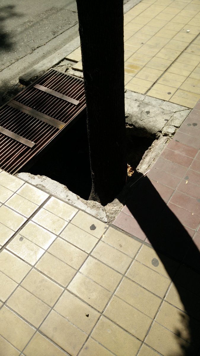
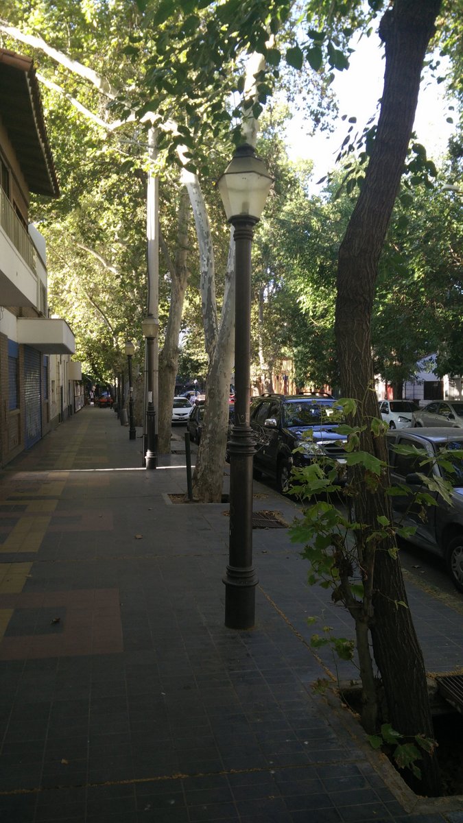
Anyway, Mendoza. I like it. I liked our Hostel (Hostel Mora). Very fast and reliable Internet. And free breakfast, with pancakes! I know it’s not all about the Internet and breakfast, but .. well… makes me happy ;) Mendoza has really nice wide open tree lined streets. There are a surprising amount of holes where the trees are coming up, the sorts of places you could easily fall into while drunk.
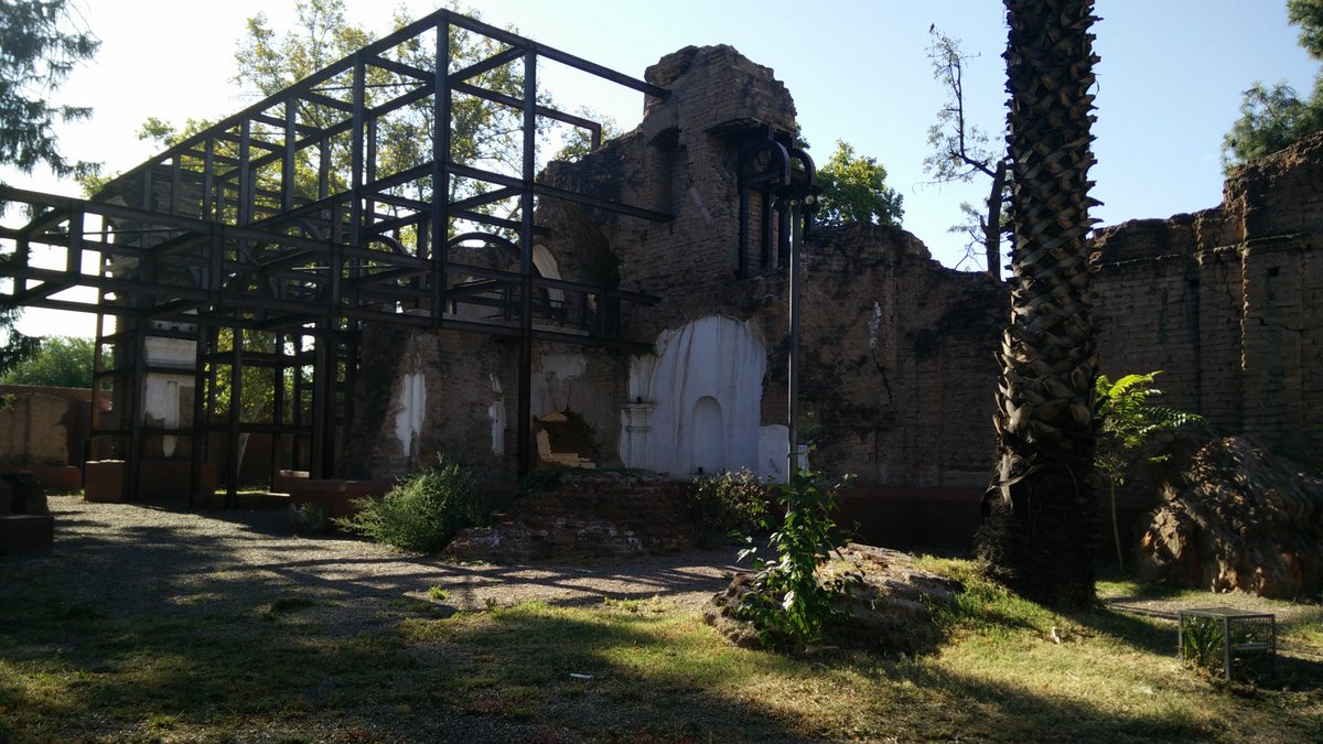
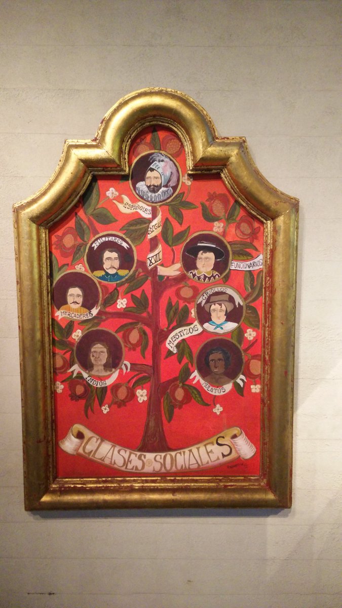
Mendoza has been nuked by a few earthquakes over the years, hence the wide streets and not particularly tall buildings. Not everything has been repaired – at least, this monastery wasn’t. The museum we went to had lots of info, but all in Spanish. Google Translate did help, but it’d be very nice to be fluent here.
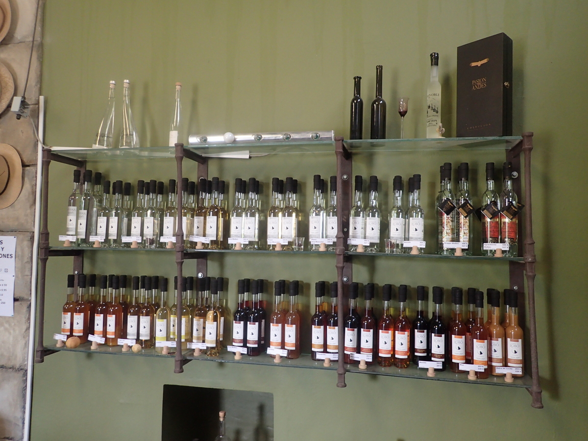
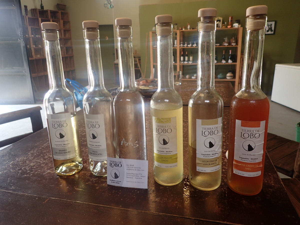
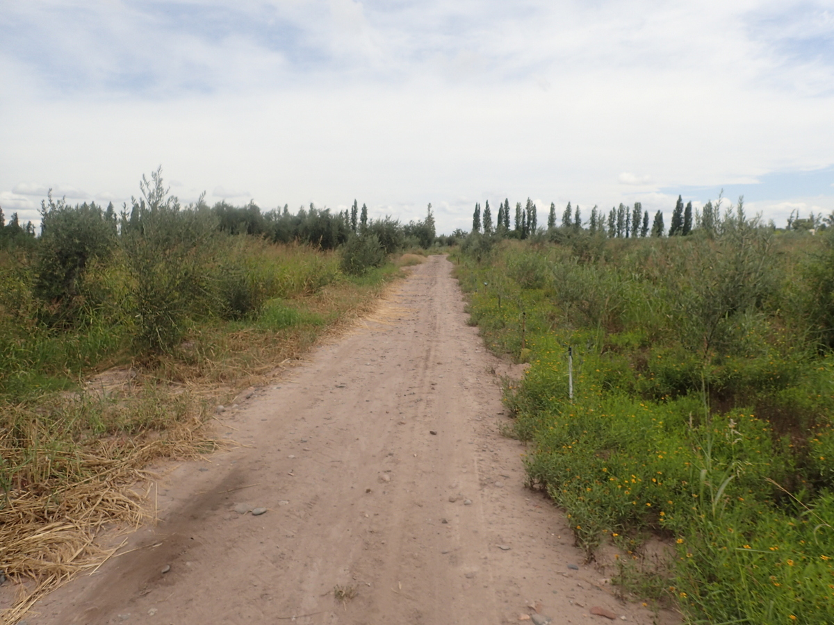
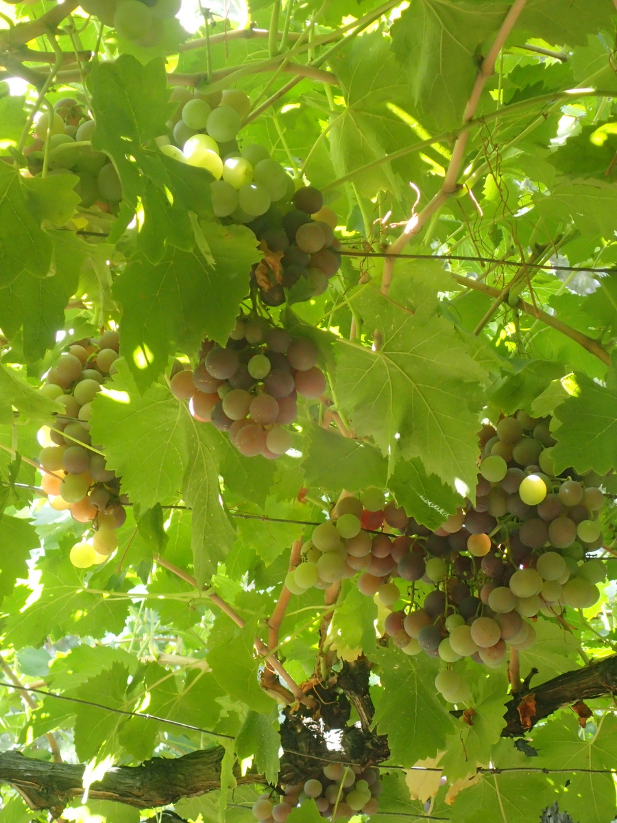
It is, as you may know, wine country too. We took the bus out to Maipu and walked to a couple of them. We could/should have hired bikes, but we were happy with just the couple we did see. Also chanced across a distillery which is now added to OpenStreetMaps ;) . Tasty stuff. Interesting to hear the (Swiss) proprietors stories about running a business here. Backhanders, rent going up %30 in a few months time (inflation is on the up here), the costs of exporting being fairly prohibitive. Tasty spirits though :) Mind you, the OSM app let me down a tiny bit here, one of the roads we tried to go down was private (had a gate across it), we did find another marked road which we managed to snicker through.
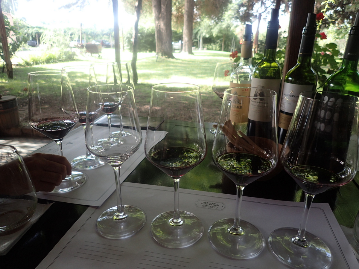
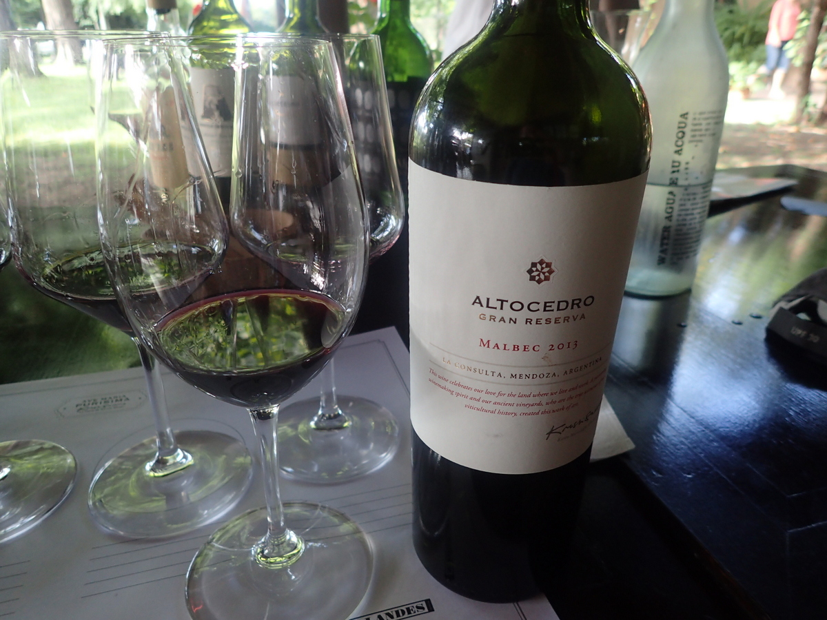
Then the wine tasting. I’m so uncultured, I just enjoy the taste and I’m not too worried about the colour (other than is it reddish or whiteish). I also wonder how much is autosuggestion when they talk about peppery notes etc. Still, learned how you’re supposed to evaluate/appreciate the wine. Also learned that to call yourself a varietal (Malbec etc.) then it depends on the country, but you don’t have to have 100% of that grape in the bottle. In Argentina, you have to have at least 85%.
Another interesting thing we learned was that they combat frost by using fuel oil… ick. In NZ they have big blowers (or helicopters!) to move the air. Seems a little more pleasant (if way more expensive). The other thing we learned was that, due to climate change, they can now grow the Cabernet Sauvingon grape here. Harrumph.


Recent Comments