Argentina -> Bolivia (Tupiza)
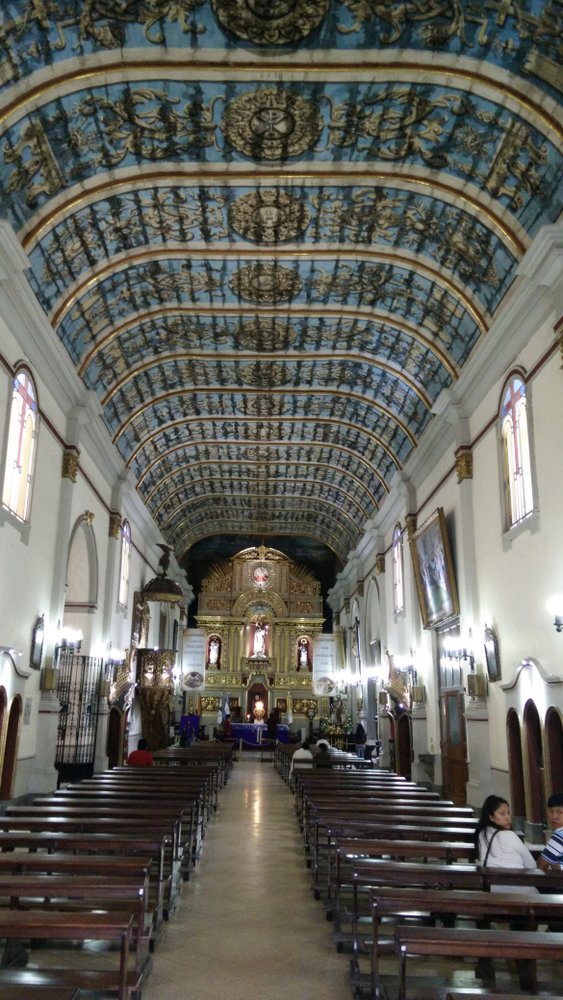
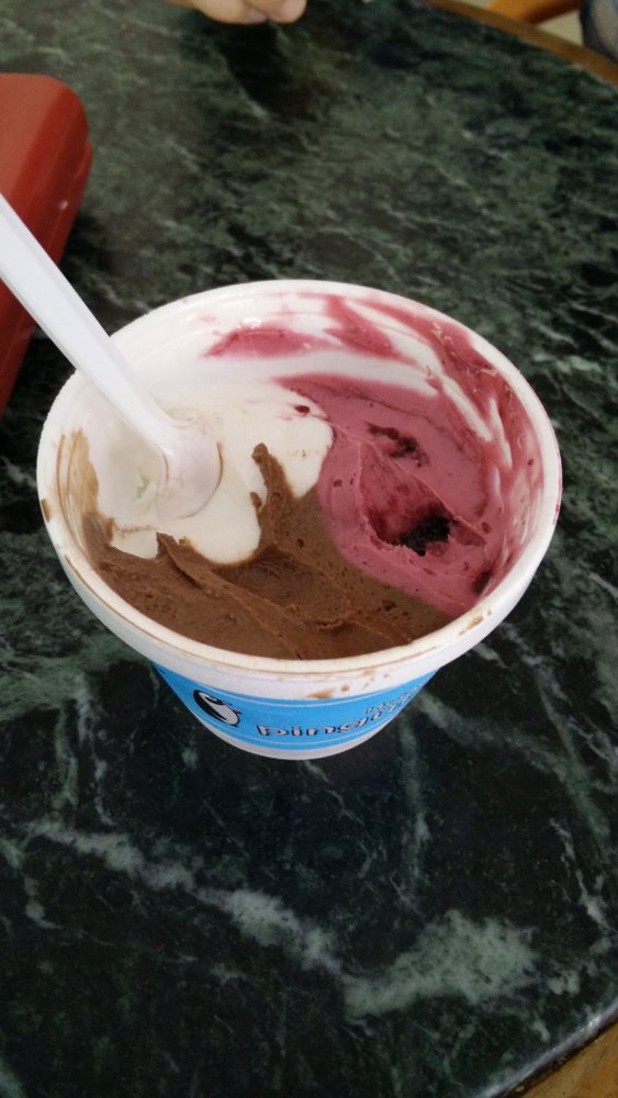
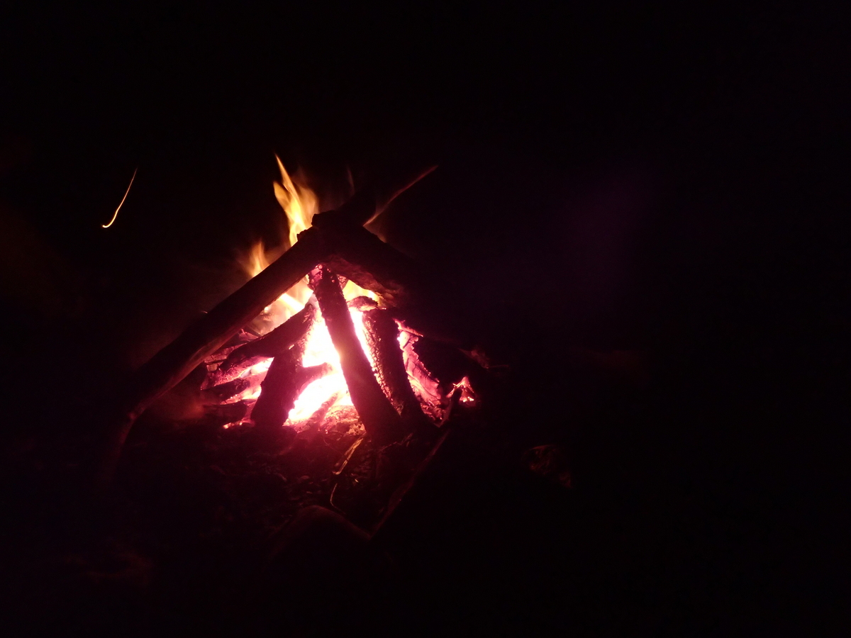
Our time in Argentina was drawing to a close. After Aldea Luna we headed back to Jujuy for 2 nights. Time to do some much needed washing & eat some ice-cream before getting the bus to Bolivia. Yes, eating the ice-cream was important, as Maaike has been telling me horror stories about not being able to eat ice-cream in Bolivia!! Quelle Horreur.


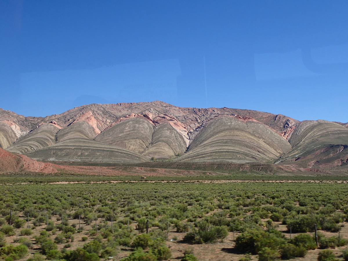
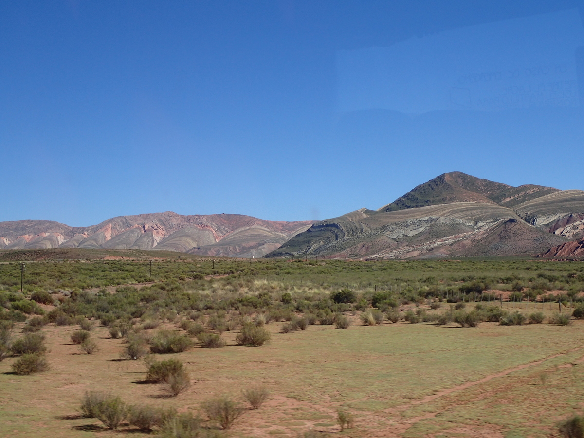
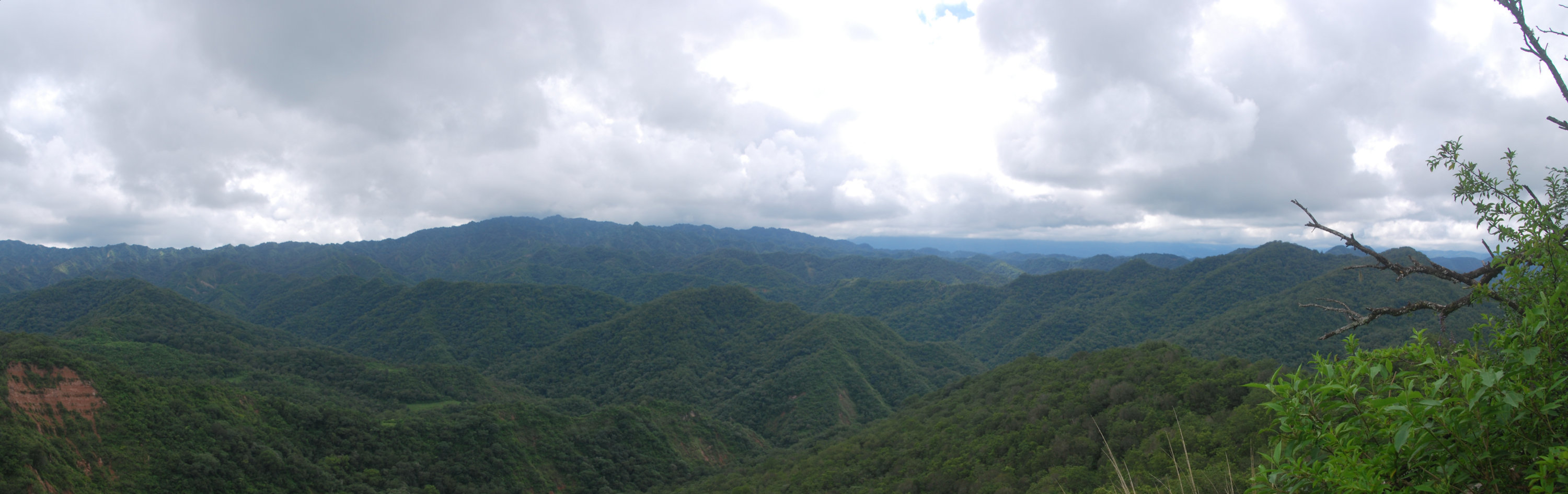
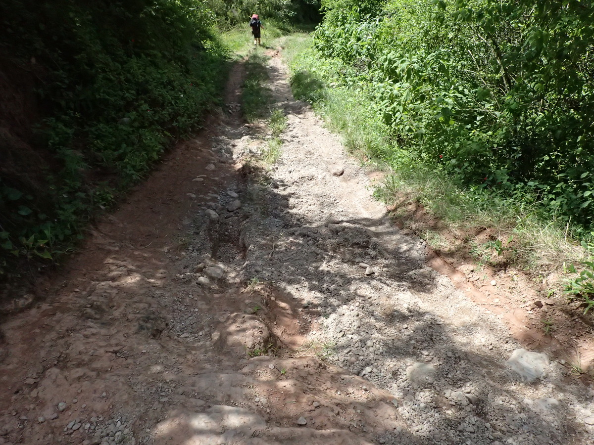
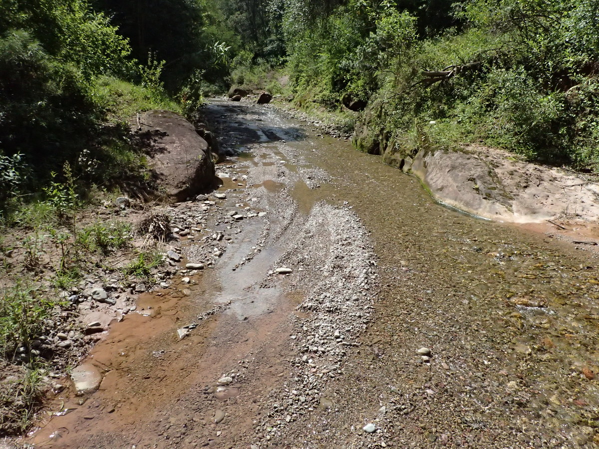
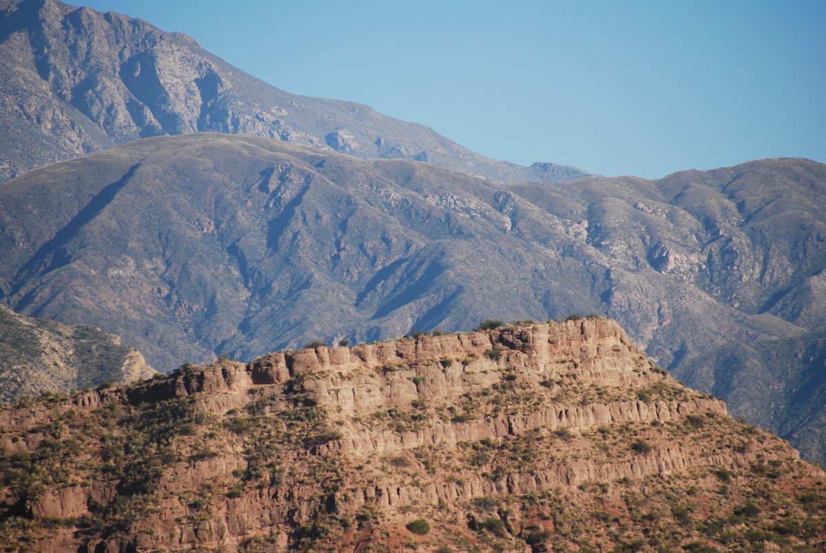
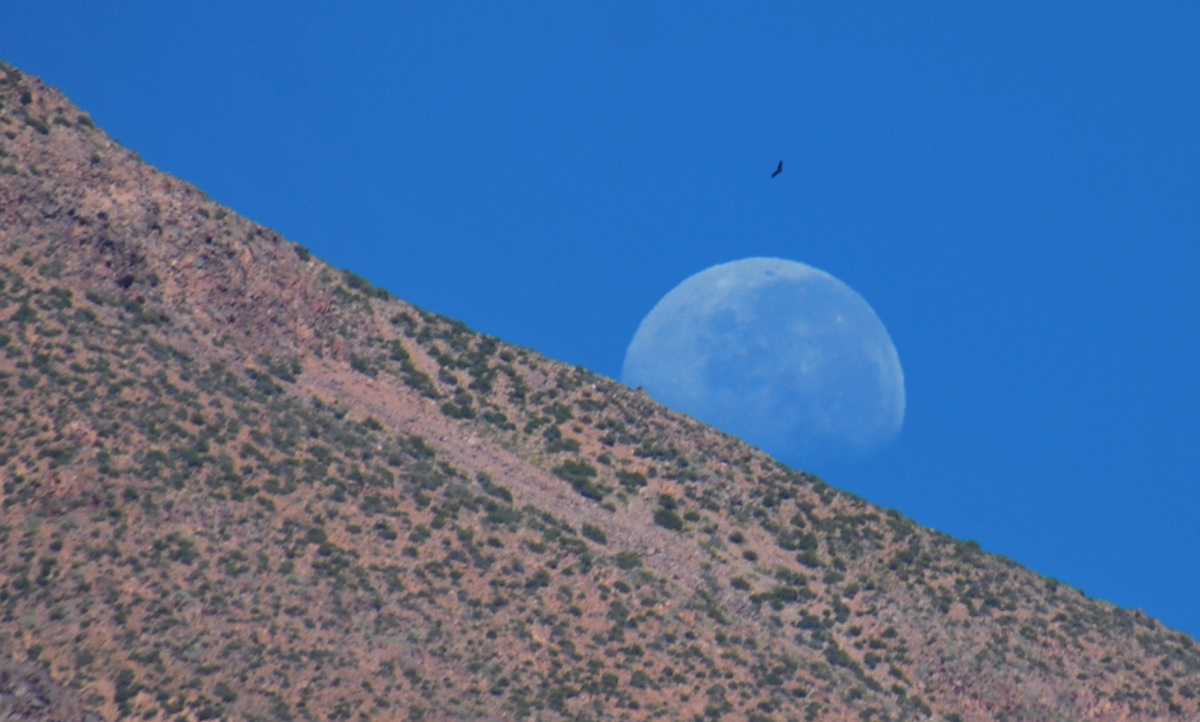
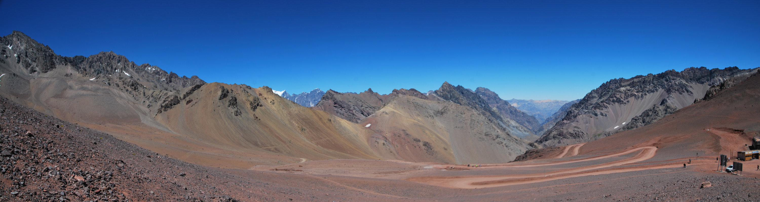
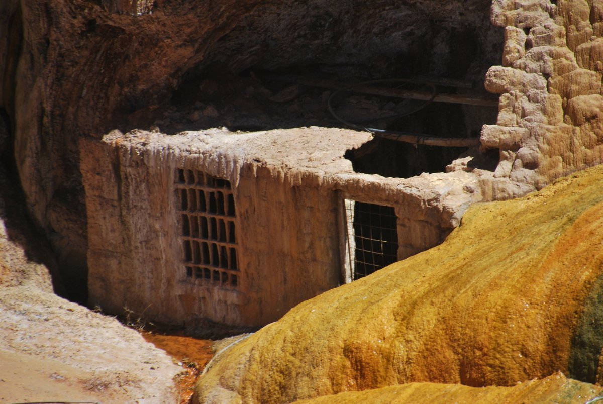
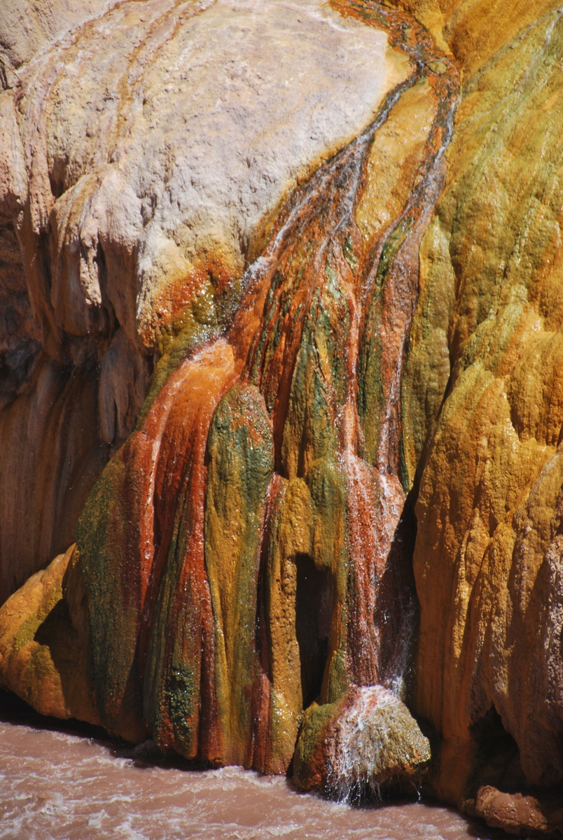
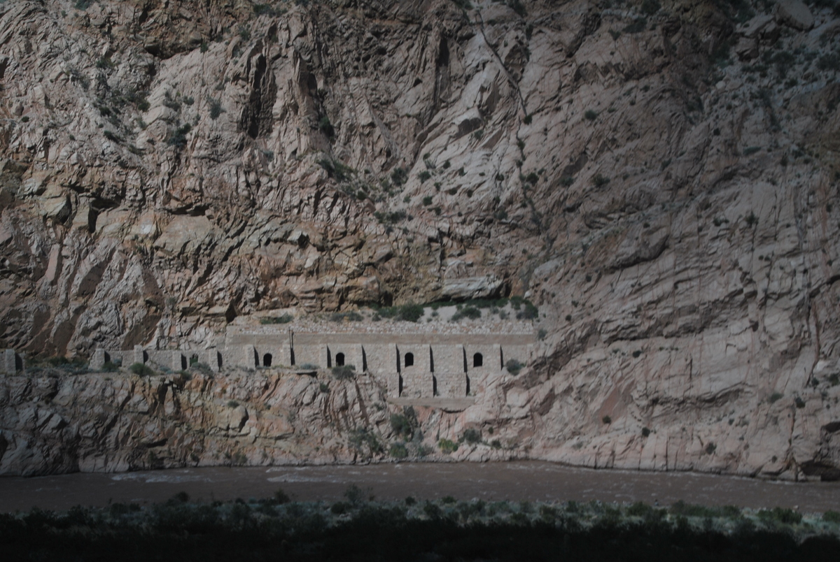
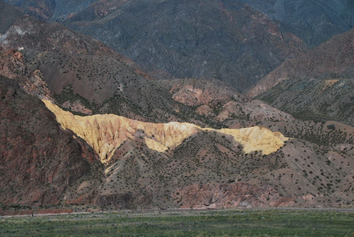
5 hours to the border. Climbed up quite a bit, we’d be at 2,800m or so by the evening.
Maaike had said it was likely to take all day before we’d get through the crossing, however, things have changed in Bolivia in the 8 years since she was last there. The crossing only took 45 minutes. Funnily enough, we had crossed into Bolivia before actually getting our passports stamped. I wonder what would have happened when we tried to leave Bolivia without having been stamped..
There were heaps of money changers, so we were able to change the Pesos for Bolivianos. The exchange rate was actually quite reasonable really, knowing that you’re stuck ‘n all.
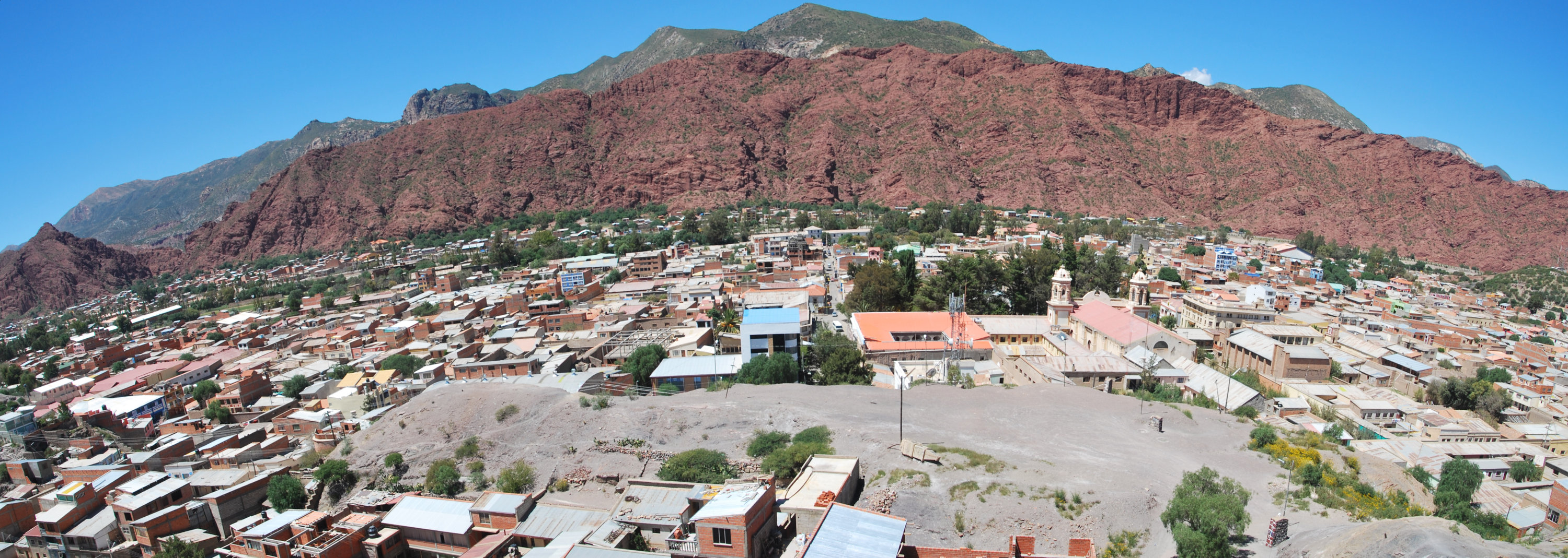
Then a minibus trip to Tupiza. Maaike .. complained.. about how the roads were paved and about how lucky I had it. I like being lucky ;)
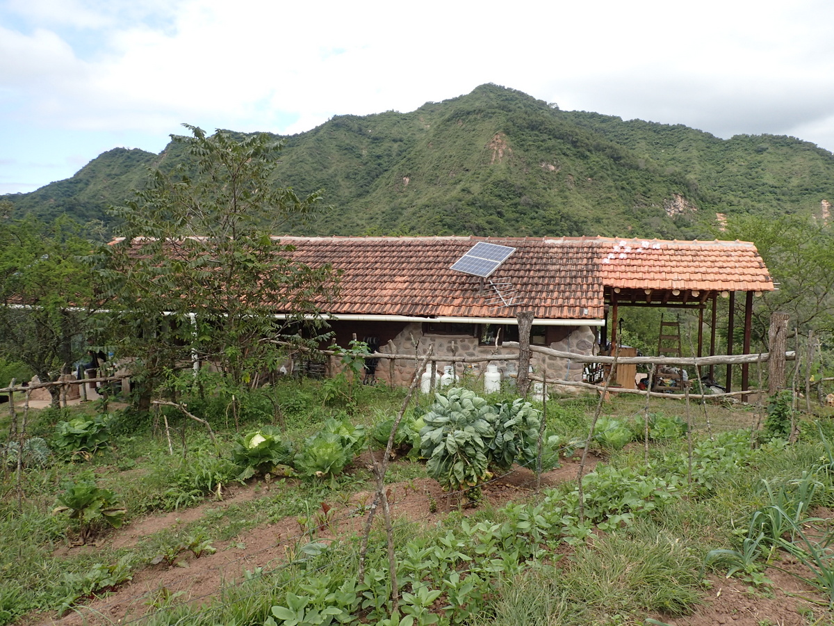
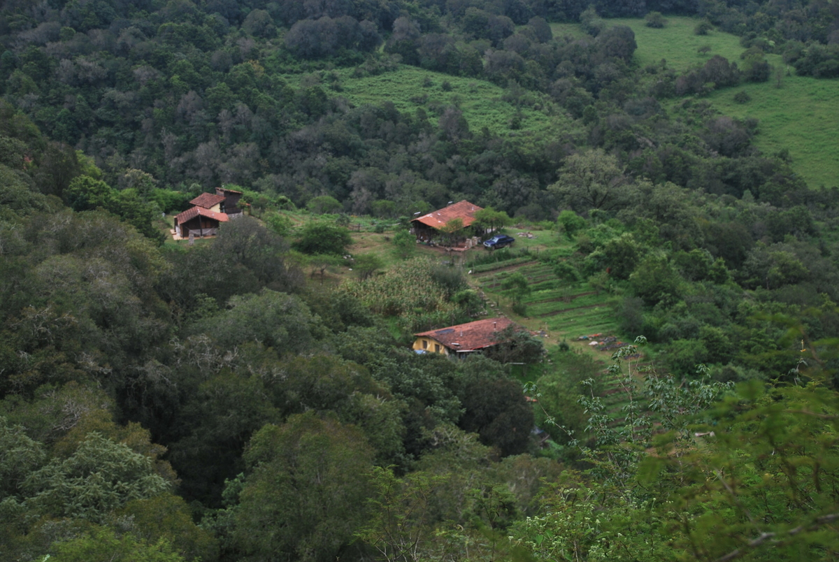
In Tupiza we booked a 4 day tour of the (worlds biggest) salt flats at Salar de Uyuni. I also came down with a rather nasty D&V bug, second time this trip :( . The hostel/tour operators gave me some probiotics (pictured below), which cleared things up within 24 hours. I had thought this was actually an antibiotic, but it isn’t.. it’s the bacterium Saccharomyces boulardii and it basically corrects the balance in the stomach… Well, I guess it is bacteria you’re introducing.. does this mean the bugs inside the stomach will build up resistance?! one hopes not. Anyone qualified feel free to comment ;)
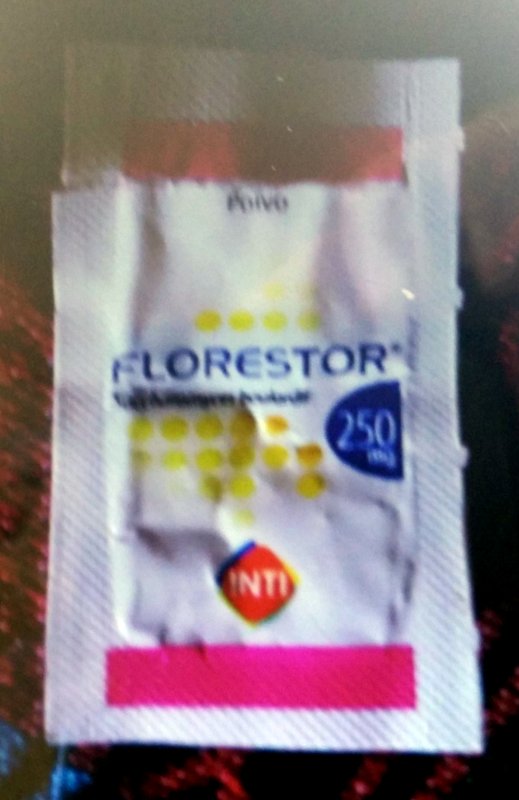
It really was magic stuff, I was feeling basically perfect within 24 hours, and I don’t need to feel bad about contributing to antibiotic resistance either (I think)


Recent Comments