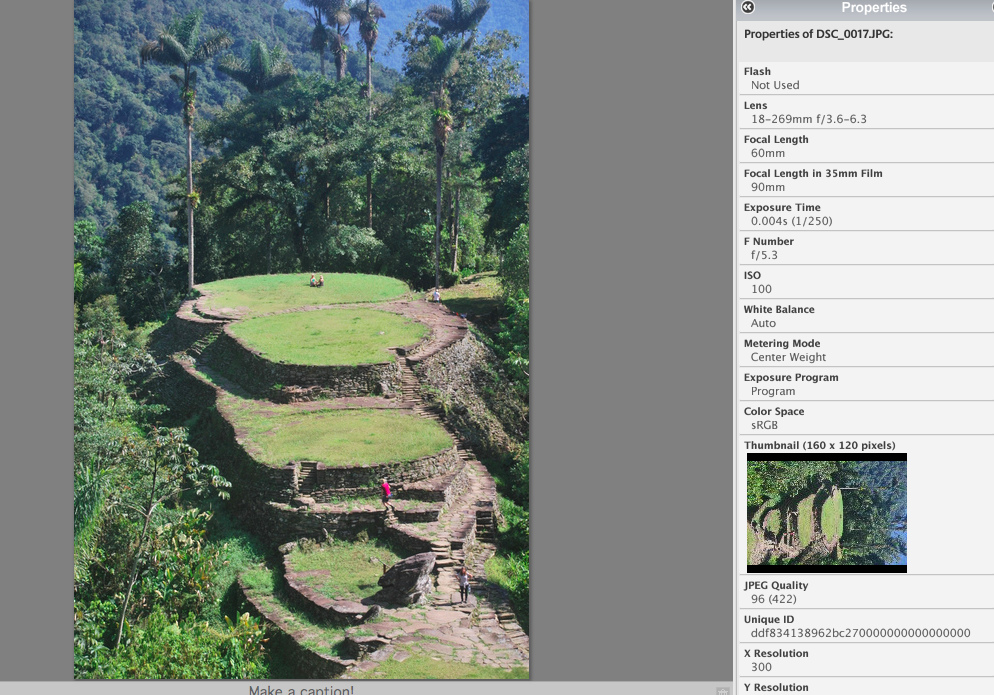
Spoiler alert: We found it. And it was at the end of a track, so I’m surprised it has been lost for this long.
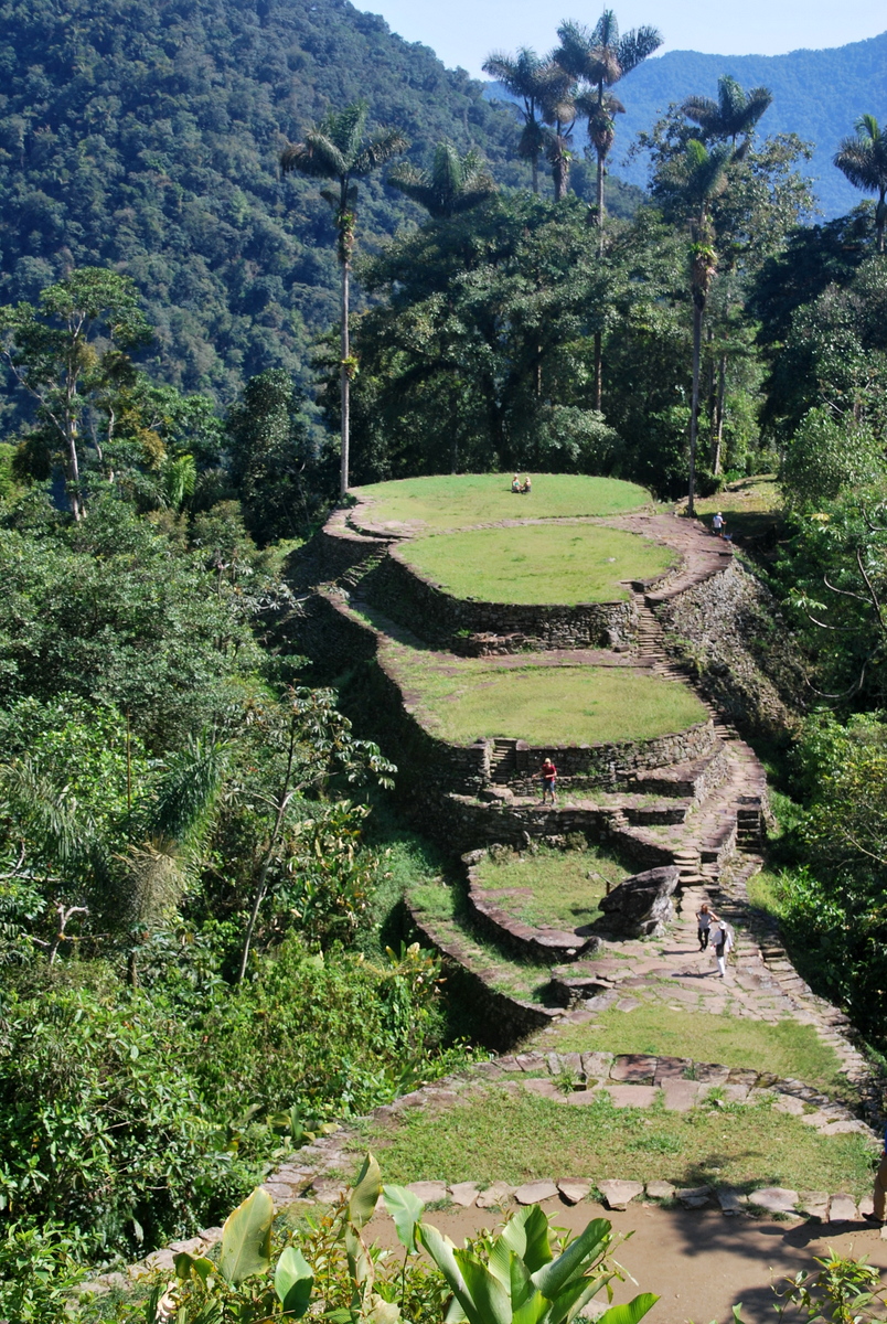
We arrived into Santa Marta for our trip to Ciudad Perdida (The lost city), on our friend Val’s advice. Ciudad Perdida was built in ~700AD and was “lost” when the Spanish invaded, as the city was abandoned. Some treasure hunters eventually found it in 1973 (getting info out of an old man by getting him drunk :( , and looted it. The story we were told was that three brothers found it. They’d collect gold, bring it back to town and then drink the proceeds. A brother in law got jealous, followed them, shot one and the others escaped. I don’t think the story related what happened to the brother-in-law, but he was chased off anyway. Ultimately though, a hunter who wasn’t getting a fair cut decided to sell the location to the government in 1975, after which it was mostly protected.
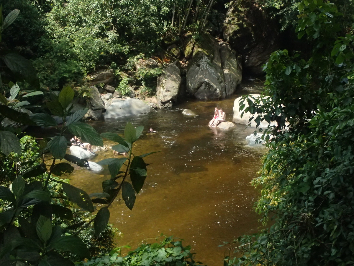
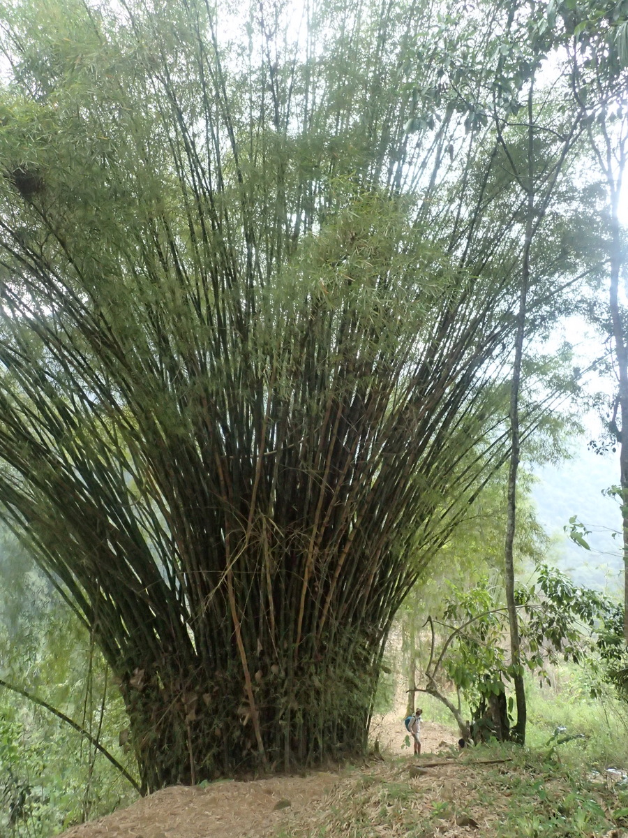
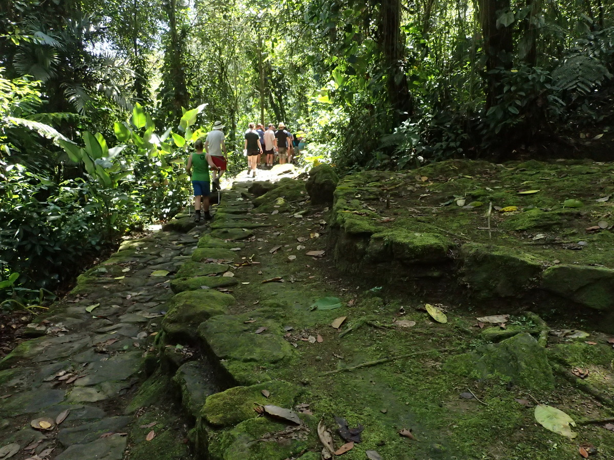
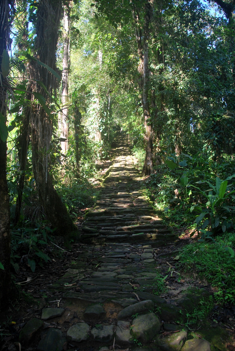
The walk is hard enough, and very definitely hot enough. I was so completely drenched in sweat after only 30 minutes or less each day. It’s so hot and humid. Fortunately, at every stopping point there’s a river to bathe in. There’s price-fixing amongst the tour operators, so it’s 900,000 Pesos whether you do the trip in 4, 5 or 6 days. We opted for 4 days, it really doesn’t need any more.


Just a quick side-note here, this is a local carrying Maaike’s bag bag up a big hill after it fell down. What a gentleman. As it’s a Cactus bag it had no damage at all.

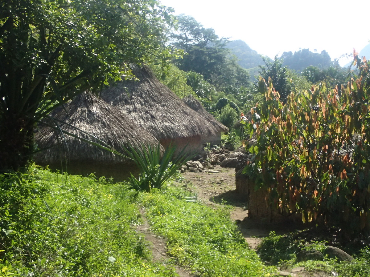
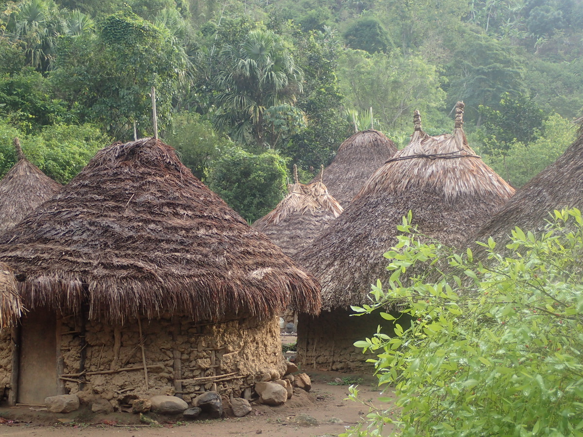
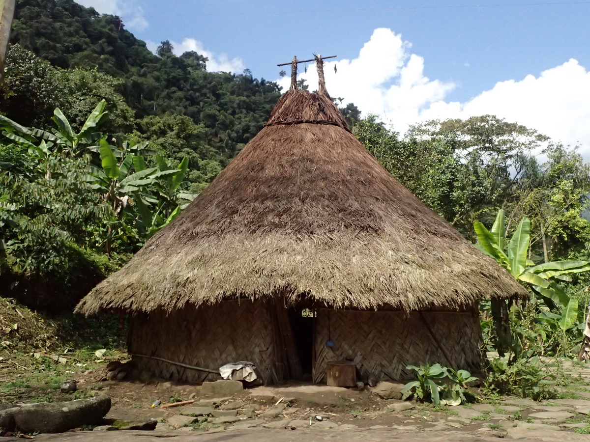
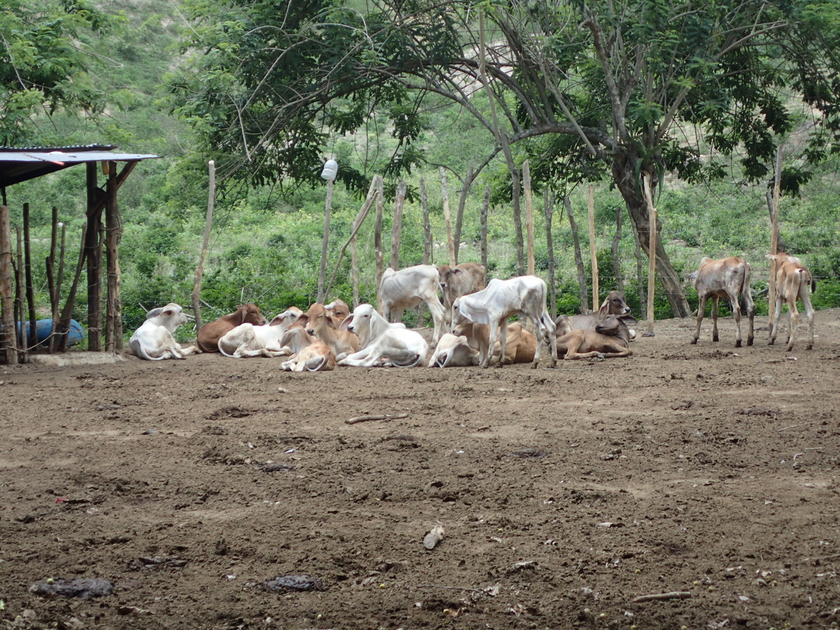
There are indigenous in the area, three different tribes. We’d see them daily running past us up the hills etc.


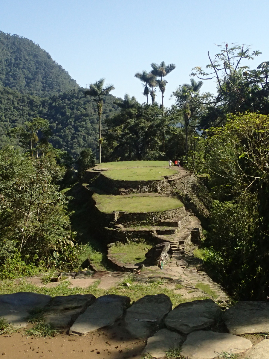
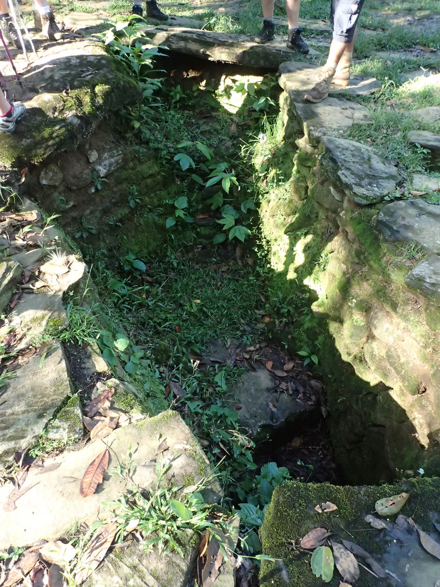
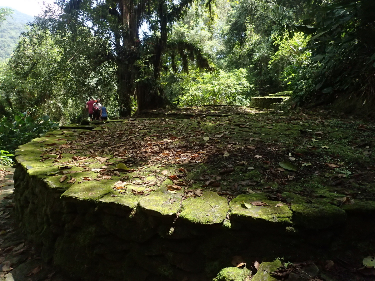
I really enjoyed the city. It’s lovely to be there with relatively few people. I’m not quite sure what the limit is on the number of people, but far less than Manchu Pichu anyway (and it sees far fewer tourists regardless of limits). In the pictures below is a hole. This is where you were put for a week or so if you’d transgressed the rules. Our guide Wilson told us a story of an indigenous friend of his who’d left his wife (and kid) and run off with another. When the village found out they captured him and make him carry sand up a hill, locking him up at night. The sentence was 3 months. He managed to escape, and had to leave the area as they kept looking for 3 years. Actually seems cheaper & more straightforward than getting an actual divorce…


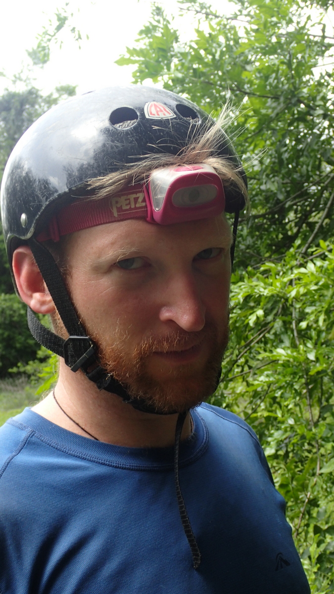
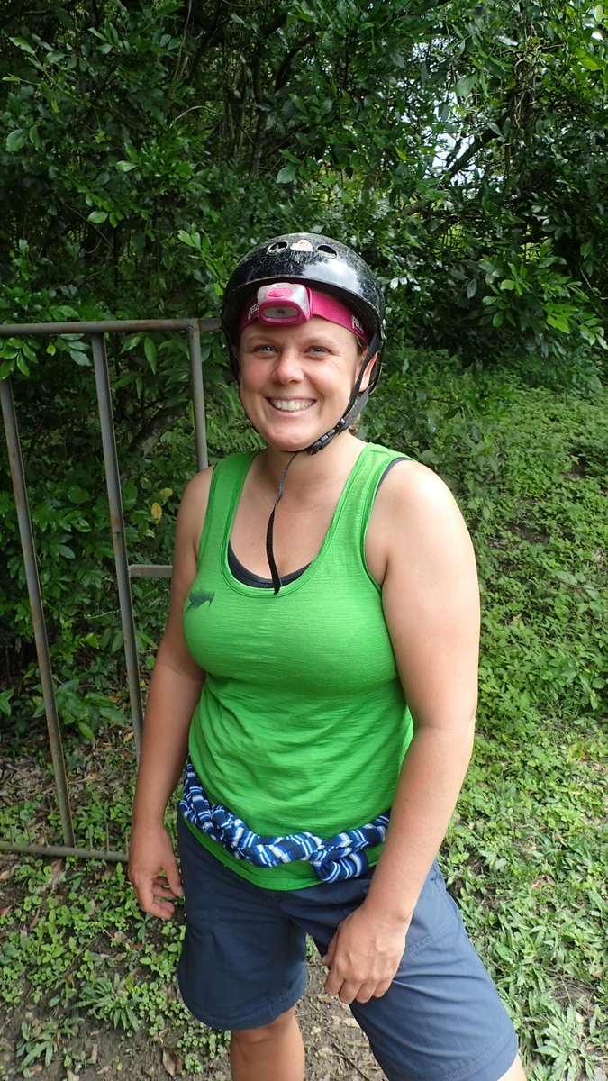
Our group was awesome, really nice bunch of people, and all at similar fitness levels. I had fun introducing (most of) them to werewolves and villagers. Annoyingly the werewolves won every round! even once I’d reduced their numbers! hey ho.
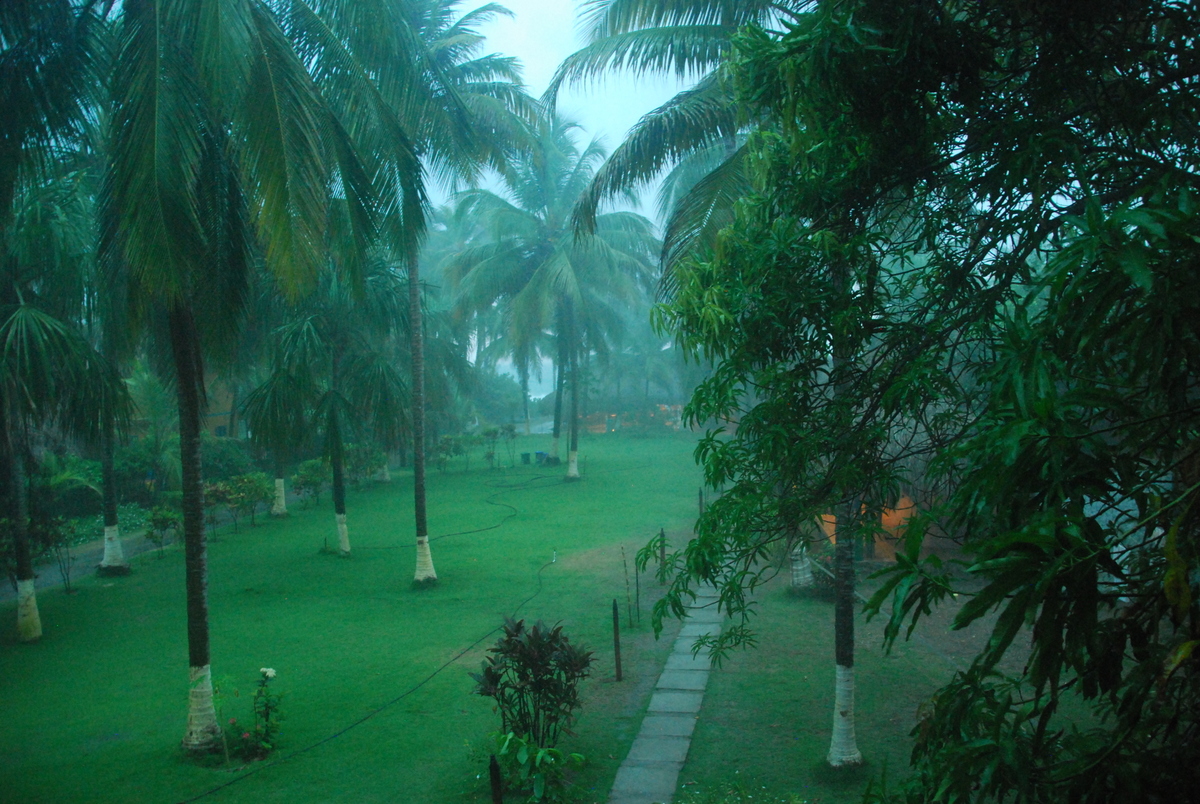
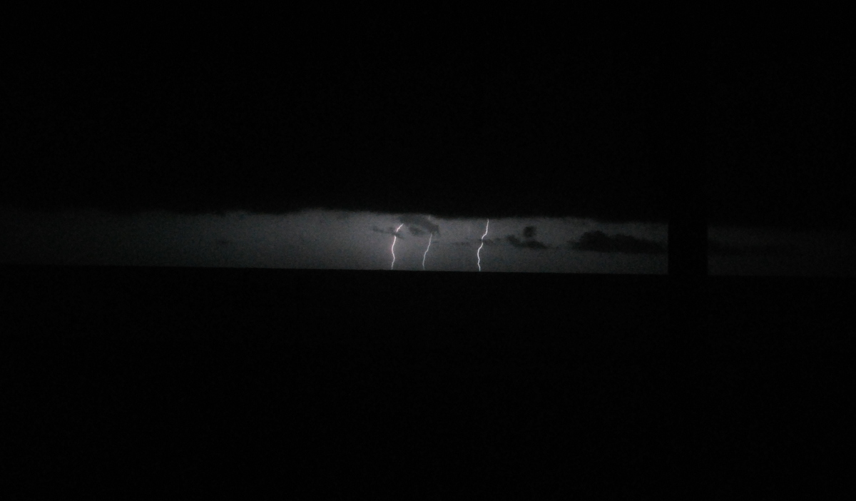
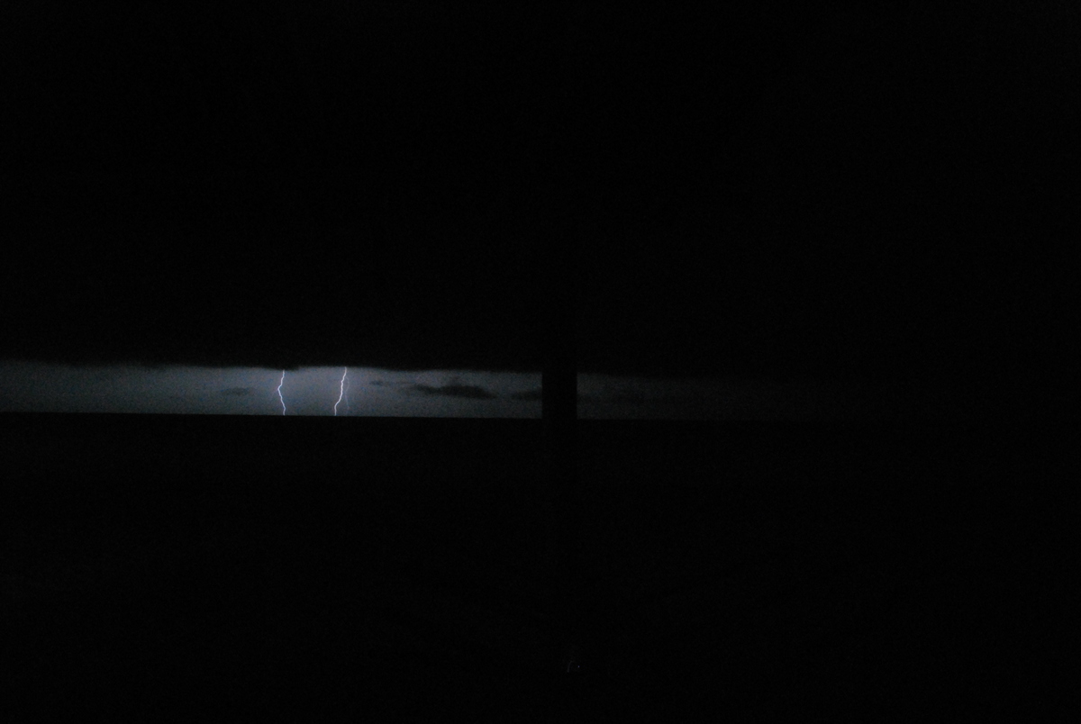
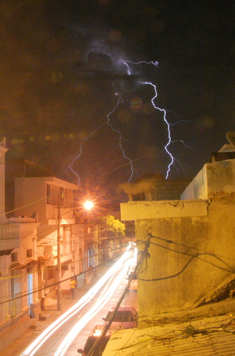
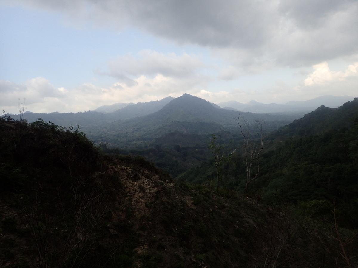
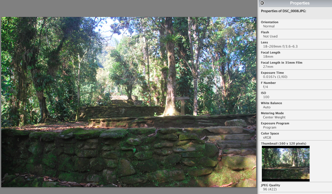
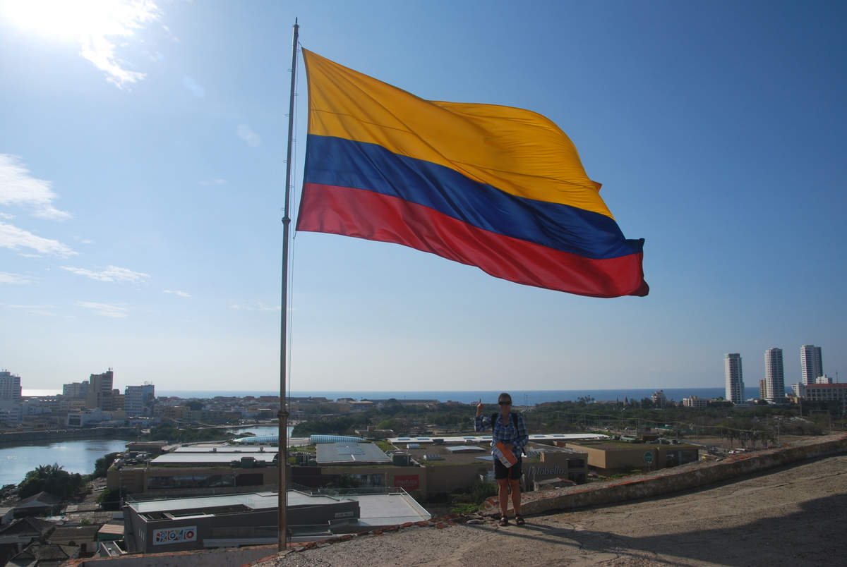
Also annoyingly, I’d left the ISO on the little camera stuck on 800.. so a lot of the pictures were overexposed. I need to get some camera pointers.. for example, look at this picture (taken with my DSLR)…


the brightness? contrast? seems quite off… but I’m not quite sure what I’m doing wrong. The colours just don’t look vibrant at all (and it is ISO 100). Pointers most welcome. The colours on the little camera come out way stronger.
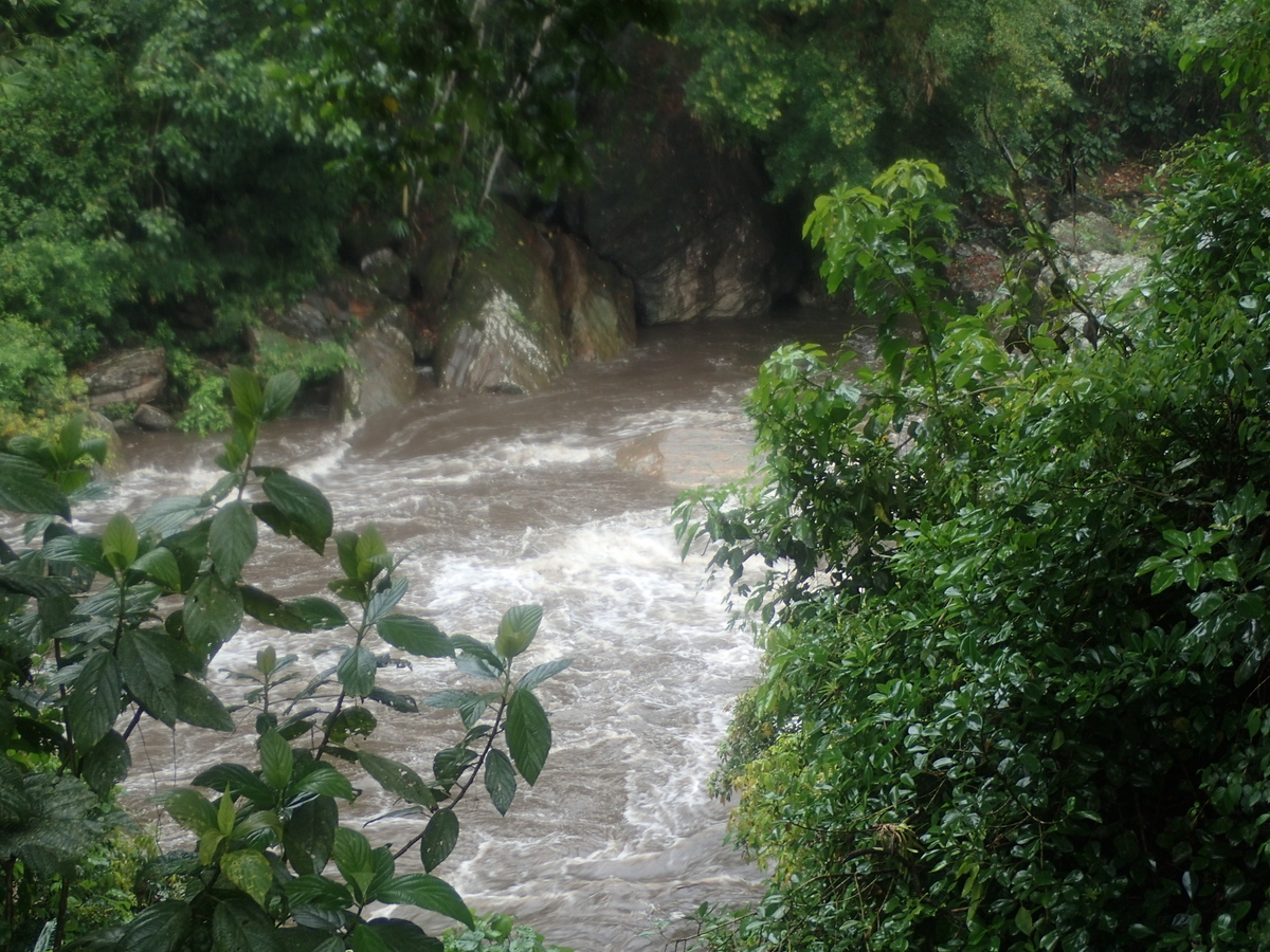
Oh, one thing about the rivers, respect the local advice. We were swimming in this one (after the heavy rains), and the locals came and told us to get out, so we did. 10 minutes later it completely flash flooded…

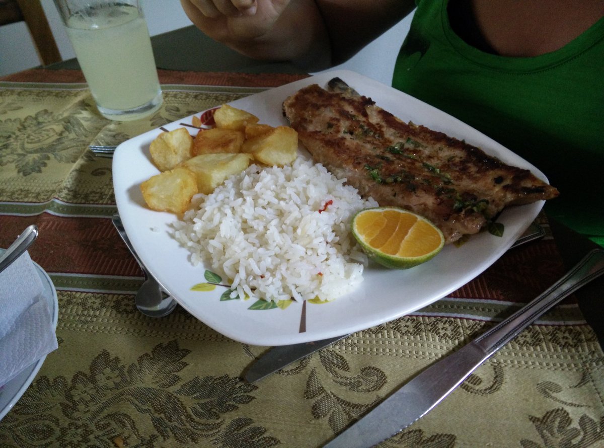
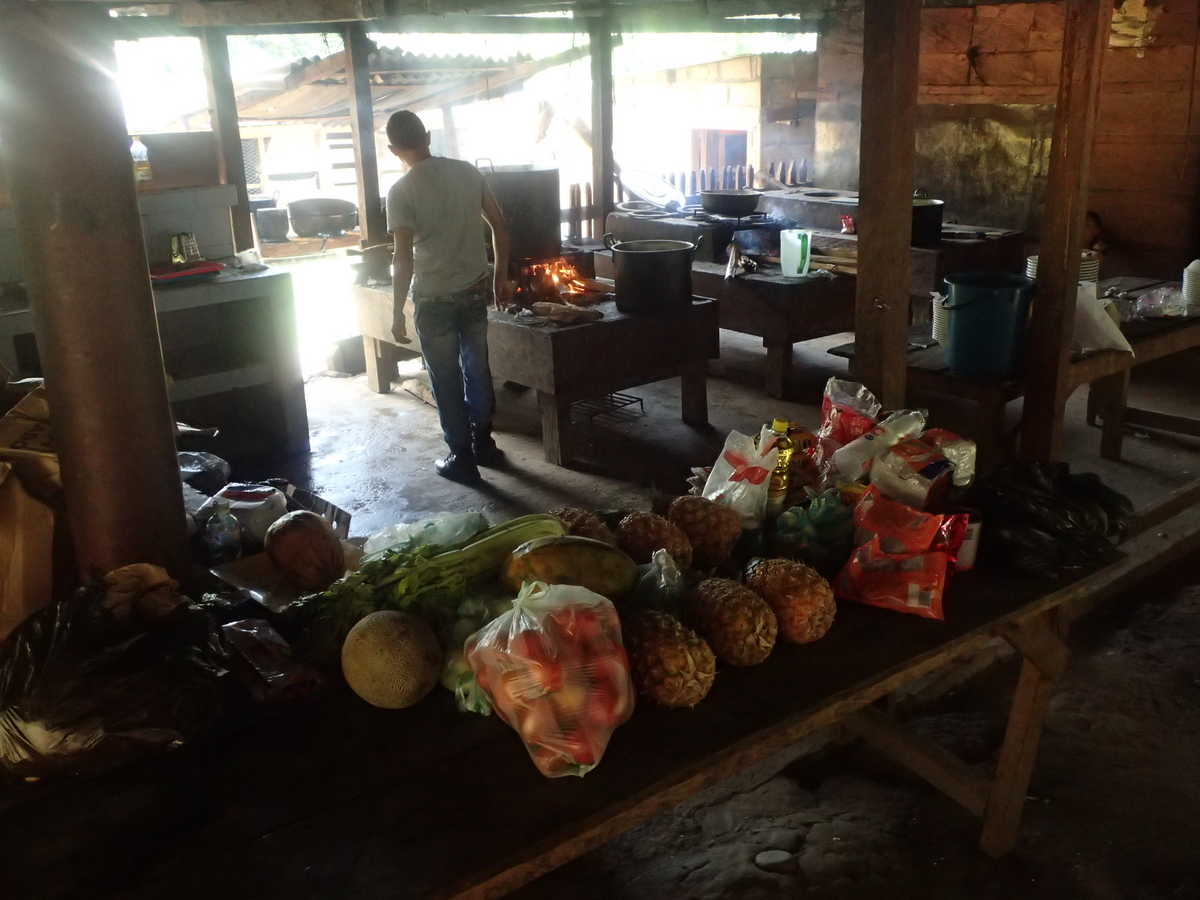
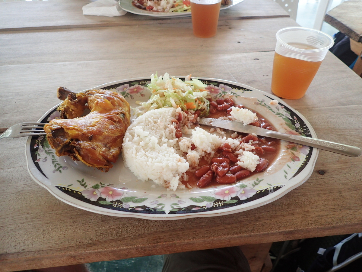
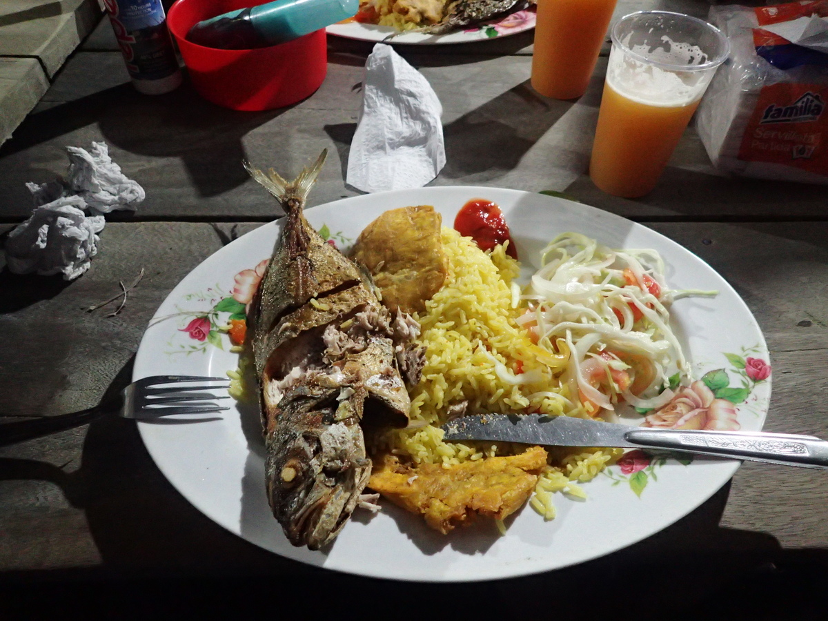
Oh, a note on the food, or at least the drinks. Fruit juices in Colombia are amazing. Simply amazing. Just had to share.


Recent Comments