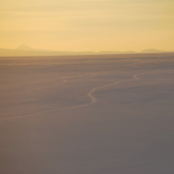
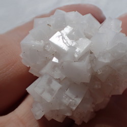
Salar de Uyuni is the world’s largest salt flat at 10,582 square kilometers….Bolivia holds about 43% of the world’s lithium reserves most of those are located in the Salar de Uyuni. The Salar was formed as a result of transformations between several prehistoric lakes. It is covered by a few meters of salt crust, which has an extraordinary flatness with the average altitude variations within one meter over the entire area of the Salar.
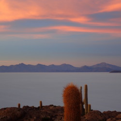
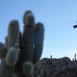
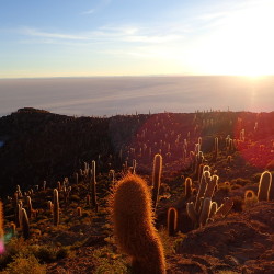
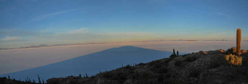
Up early today to see the sunrise from the top of Isla Incahuasi, the remnants of a volcano poking above the surface of the salt flats. I wish I’d been able to be in two places at once, as the sunrise from the salt flats themselves reflected in some of the pools would have been pretty epic too.
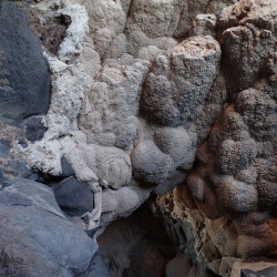
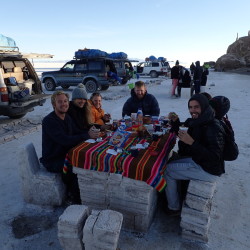
The island also has coral on it too from when the volcano was submerged beneath the lake. I was completely out of breath after running up the hill to get the sunrise (in the event, no rushing needed). That’s what comes from running at a height of 3,656 meters!. Then breakfast
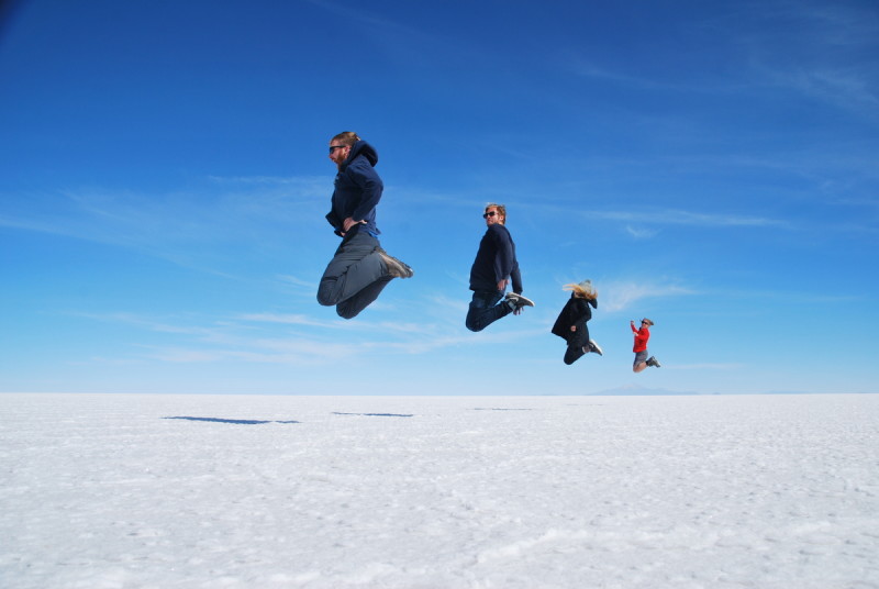
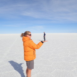
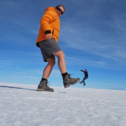
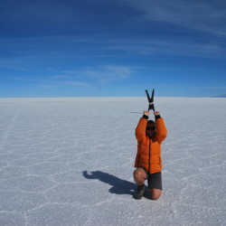
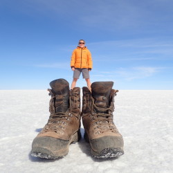
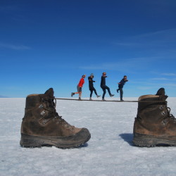
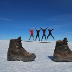
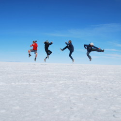
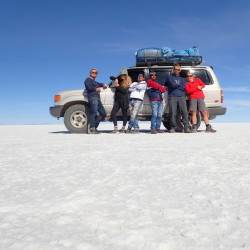
Then it was time to play with perspective on the salt flats. It’s super hard to know how decent your photographs are until you’re back somewhere a little darker than the whiteness of the salt flats, still, some of them came out well, and Cam and Sophie were great fun & full of good ideas for pictures.
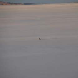
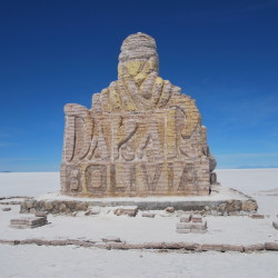
The Dakar Rally was held here a couple of times. Apparently it takes a Jeep about 2-3 hours to drive around the flats, but competitors did it in 40minutes.
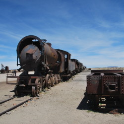
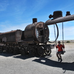
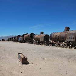
Finally, a quick trip to the train graveyard. When the mining industry collapsed in the 1940s these trains were left here to rot.
It was a magnificent landscape to visit. It would have been great to have had a day or so longer to just be there, spend some time in the quiet of the place, play with the light and distance. Maybe we’ll have to come back and cycle tour around ;)

Matt
April 7, 2016 at 9:24 am
Lovely photos – especially the cacti dawn photo. The bootlace tightrope was cute, too!
Femke
June 30, 2016 at 3:20 am
Nice and funny pics!