After leaving the waterfall road (that’s what it’s called) we headed North towards Byron Bay (the most easterly point of mainland OZ – and a place to get lovely home-made ice-cream too..)
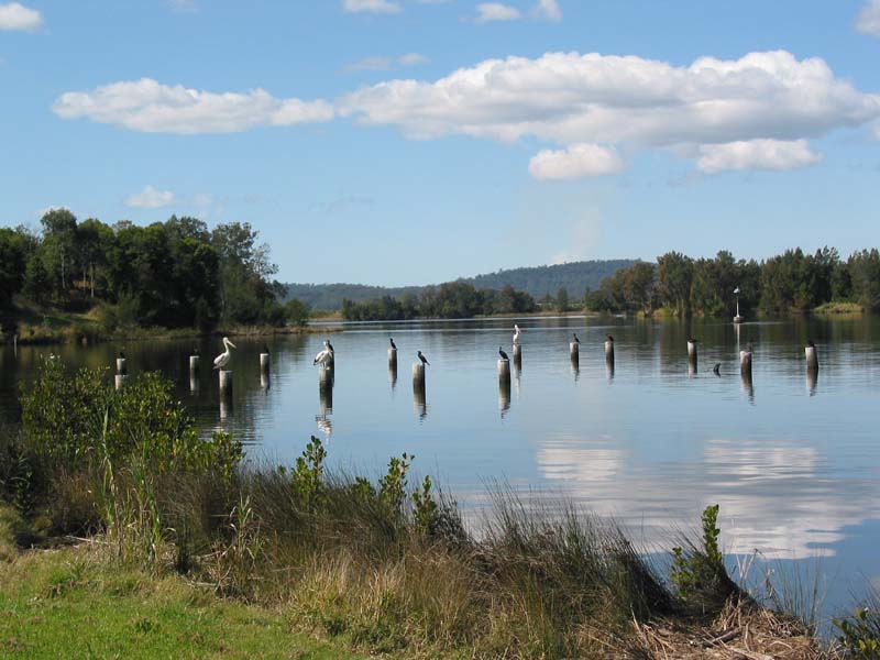
On the way we passed some pelicans + others who didn’t like getting their feet wet. An odd sight.
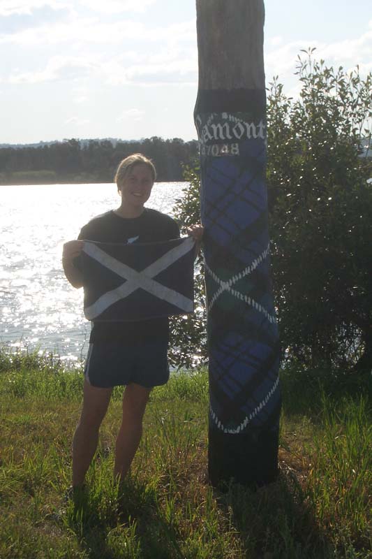
The scottish influence made its wishes known – and we past via a place called MacLean. MacLean prides itself on being the most Scottish town in Australia. It’s not hard to see why. Every power-pole is decorated in a different tartan, most shops are scottish themed, there’s even a cairn with stones from scotland in it. I was beginning to wonder about Mhairi’s claims to Scottishness.. but just as we were driving out of town – she saw her clans colours. Lamont.
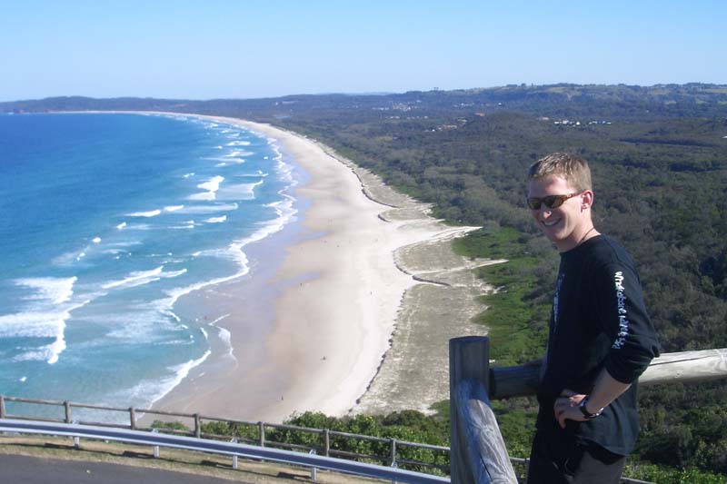
Arriving into Byron at 2ish we checked out the lighthouse and most easterly point. Pretty cool views around the bay.. and quality ice-cream too.
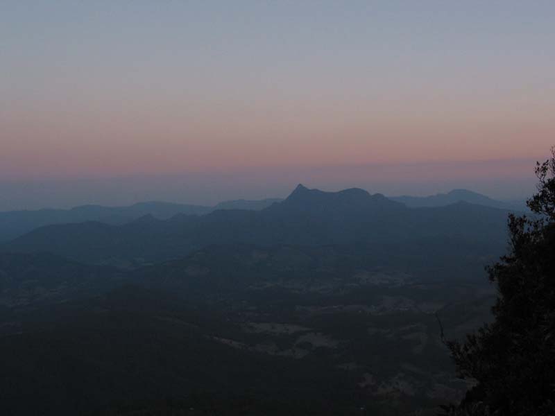
There were also views up towards Mt. Warning (the peak in the middle) of the next pic. It’d been reccommended to hike up this for sunrise. It’s a funky area actually. Mt. Warning is just over 1000m high, though it used to be double this. It’s the remains of a plug of a volcano – the area (some 2000 sq hectares) around it was mostly basalt from repeated laval outpourings (it’s a shield volcano). After a few gazillion (or less) years, the basalt, being more pourous has mostly eroded away – leaving an outer ring of Rhyolite cliffs with just the solid plug of Mt. Warning in the middle.
If there are any geography teachers reading this.. feel free to correct me… I’ll amend the post ;)
Either way, it makes for fantastic scenery, lots of waterfalls, and a fun hike at 4am
Leave a Reply