We flew into Eindhoven with Ryanair. Miraculously the tandem had arrived and looked relatively unscathed. Maaike’s parents had borrowed a friends trailer, and the tandem fitted perfectly into it.
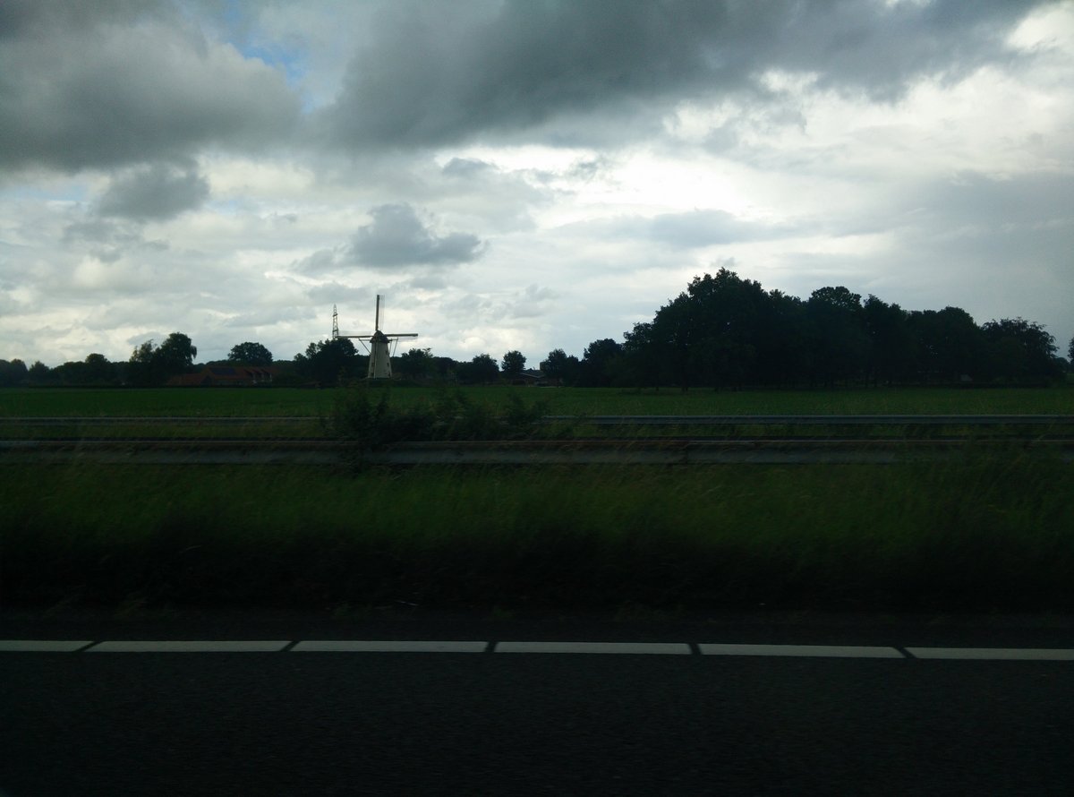
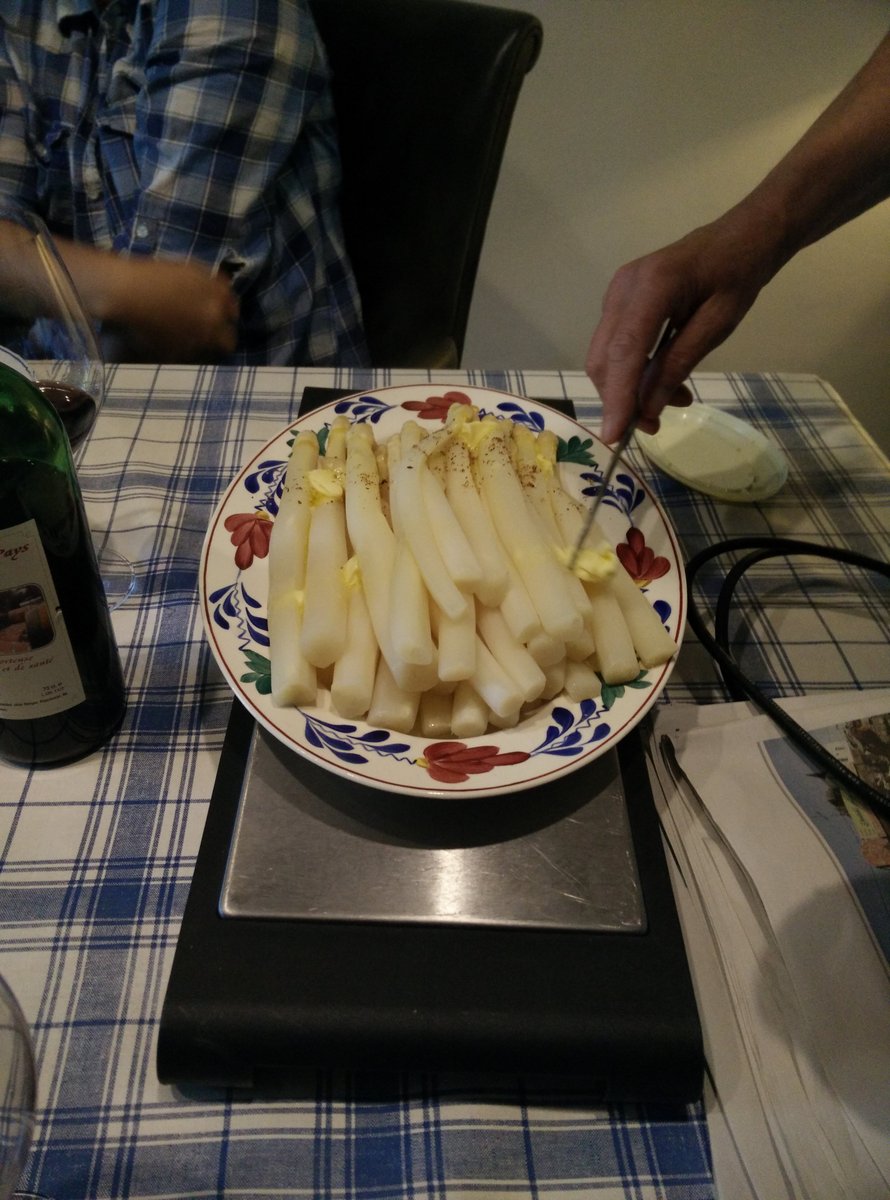
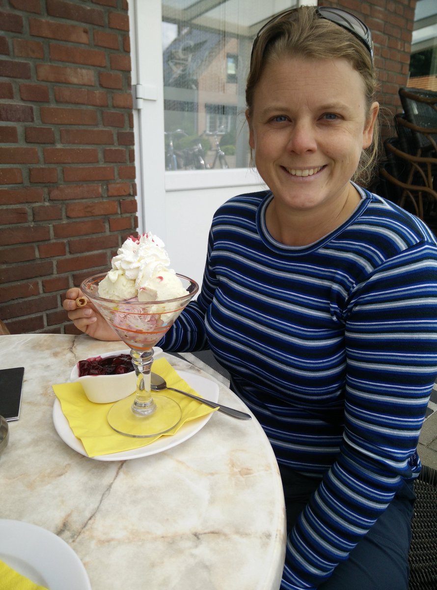
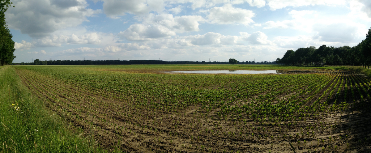
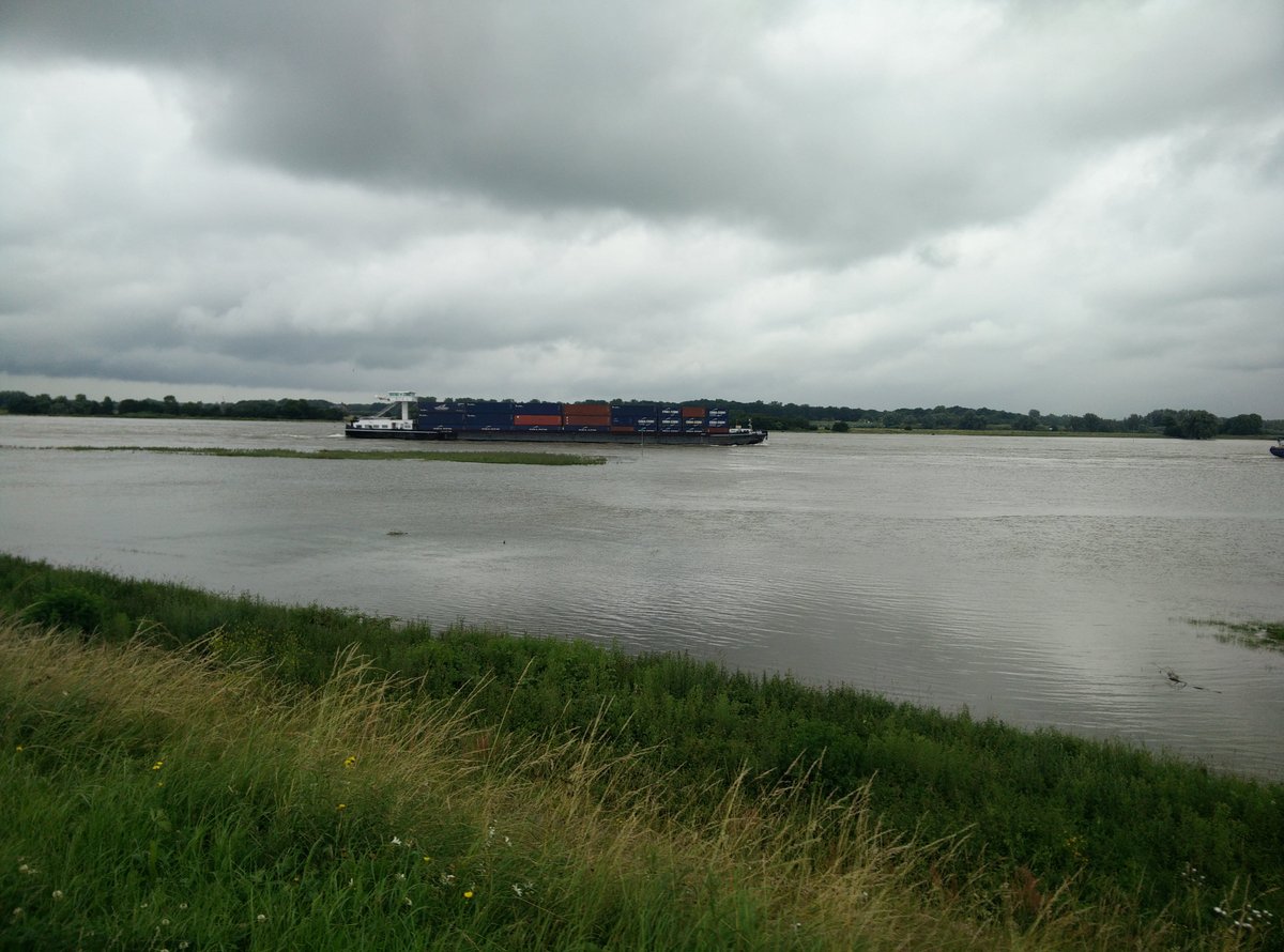
Skipped on back to Posterholt, where Maaike’s parents live, and hung out for a few days, eating lots of yummy food (they’re great cooks), planning a little for our “party” later on in August (not a wedding mind, just a party ;) , eating ice-creams. Good times. Walking around the area, you can see how saturated the ground is, and how full the dykes are. Europe has been having a lot of rain of late.
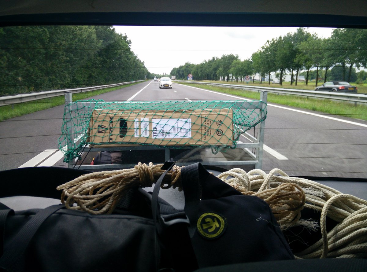
So, we put the tandem back together again, everything seemed to work. The plan was to take it for a spin to Venlo, a town about 40km North, and then get a train the rest of the way to Nijmegen. So we biked to Venlo and my posterior was ready enough to call it quits for the day. Unfortunately we found out that they only take folding tandems on trains!?!? .. leaving us with a further 60km to bike to Nijmegen.
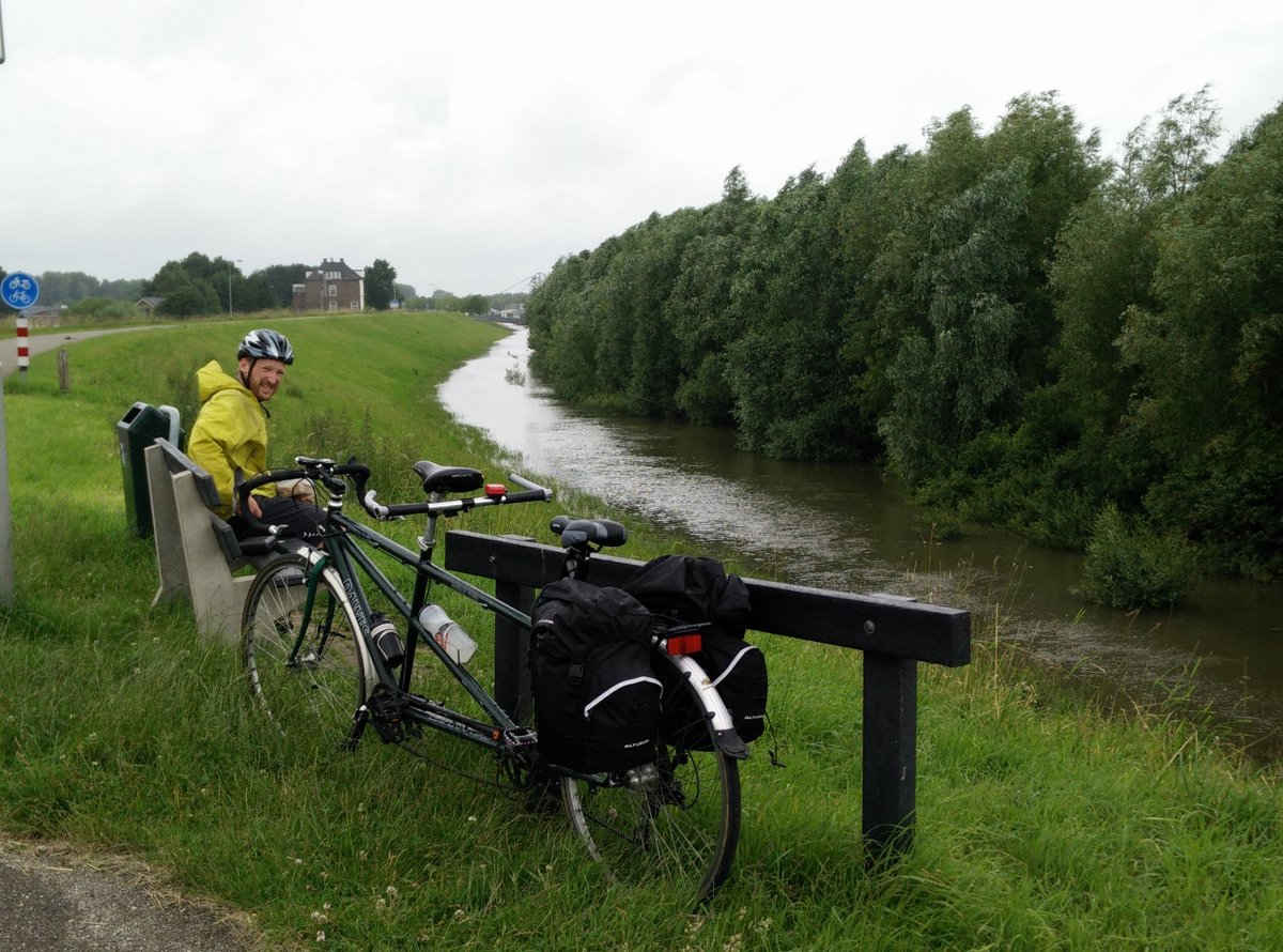
Stayed the night at Sjoerds (Maaike’s brother), then on to Herwijnen to see Femke.
We then opted to leave the tandem there for a few days, back to Posterholt by train for a family gathering, and then returned by train to Femke’s (Maaike’s sister) to continue on our Epic Bike Ride to Ireland.
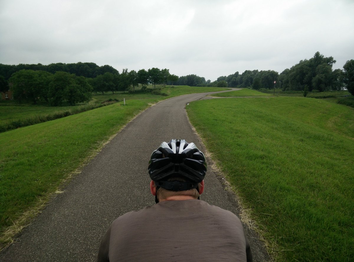
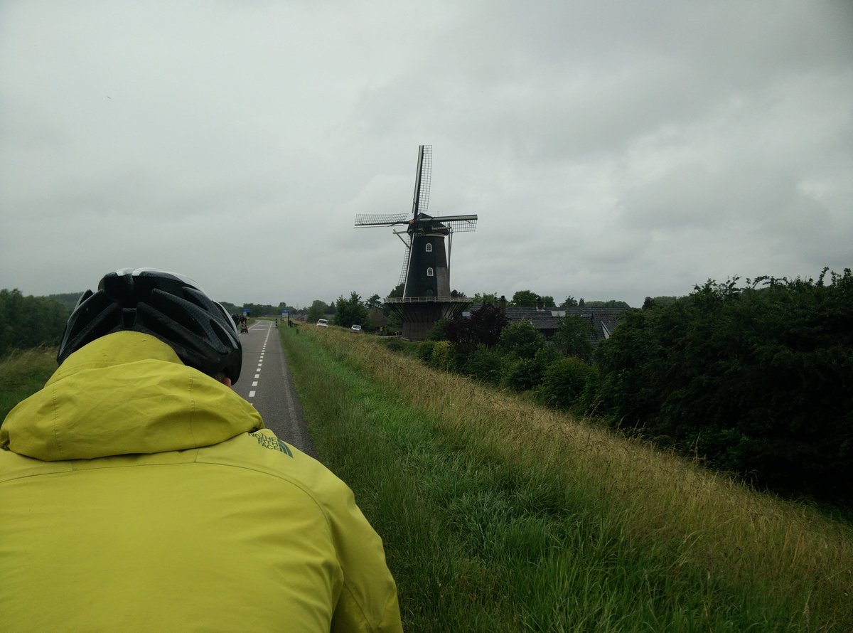
Biking in the Netherlands really is wonderful. The separated cycleways are a joy to bike on.. it’s also extremely flat so you can fairly motor along. I was pretty happy with the tactic for navigating.
- Go to google maps & find the route you want to take between A and B (choose the little cycling icon to make sure it’s optimizing for biking – more to come on this in a subsequent post, Google doesn’t always get it right
- Take the URL for your directions, and paste it into the url box on GPSVisualizer.com, which will then spit back a GPX file
- Import said GPX file into the wonderful OSMAND+ app on your phone. The easiest way to do this is to put it into a synced dropbox folder and then double click on the gpx, OSMAND+ will then ask you do you want to import it
- Finally, choose the GPX file from within the settings in OSMAND+ and tell it to use the displayed track for navigation.
It really works very nicely. Certainly having GPS helps a lot, as some of the turns can be quite hard to spot. You have to get used to the navigation saying things like “turn left, then in 20m turn right”, when they really mean “go straight over the roundabout”, but, you get the idea.
Leave a Reply